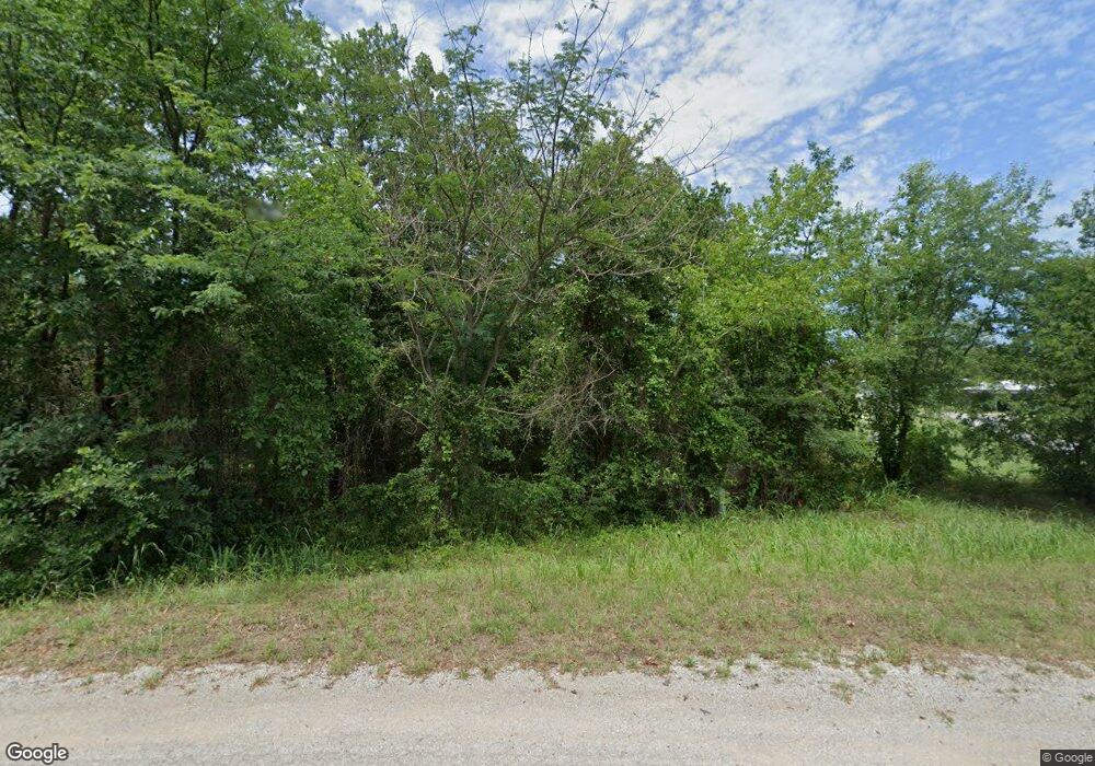
401 Price Rd Lone Grove, OK 73443
Estimated Value: $227,000 - $286,000
3
Beds
2
Baths
1,840
Sq Ft
$139/Sq Ft
Est. Value
About This Home
This home is located at 401 Price Rd, Lone Grove, OK 73443 and is currently estimated at $255,000, approximately $138 per square foot. 401 Price Rd is a home located in Carter County with nearby schools including Lone Grove Primary School, Lone Grove Intermediate School, and Lone Grove Middle School.
Ownership History
Date
Name
Owned For
Owner Type
Purchase Details
Closed on
Jul 26, 2016
Sold by
George William E and George Carolyn
Bought by
George William E and George Beth
Current Estimated Value
Purchase Details
Closed on
Nov 5, 2008
Sold by
Gossvener Cheryl Lynn and Gossvener Dana
Bought by
Proctor Edward Clifford and Proctor Linda A
Home Financials for this Owner
Home Financials are based on the most recent Mortgage that was taken out on this home.
Original Mortgage
$20,270
Outstanding Balance
$13,240
Interest Rate
5.98%
Mortgage Type
Unknown
Estimated Equity
$241,760
Create a Home Valuation Report for This Property
The Home Valuation Report is an in-depth analysis detailing your home's value as well as a comparison with similar homes in the area
Home Values in the Area
Average Home Value in this Area
Purchase History
| Date | Buyer | Sale Price | Title Company |
|---|---|---|---|
| George William E | -- | None Available | |
| Proctor Edward Clifford | $40,000 | -- |
Source: Public Records
Mortgage History
| Date | Status | Borrower | Loan Amount |
|---|---|---|---|
| Open | Proctor Edward Clifford | $20,270 |
Source: Public Records
Tax History Compared to Growth
Tax History
| Year | Tax Paid | Tax Assessment Tax Assessment Total Assessment is a certain percentage of the fair market value that is determined by local assessors to be the total taxable value of land and additions on the property. | Land | Improvement |
|---|---|---|---|---|
| 2024 | $1,891 | $18,023 | $2,309 | $15,714 |
| 2023 | $1,779 | $16,952 | $2,309 | $14,643 |
| 2022 | $1,754 | $16,952 | $2,309 | $14,643 |
| 2021 | $1,765 | $16,952 | $2,309 | $14,643 |
| 2020 | $1,702 | $16,439 | $2,107 | $14,332 |
| 2019 | $1,619 | $15,656 | $2,185 | $13,471 |
| 2018 | $1,557 | $14,911 | $1,371 | $13,540 |
| 2017 | $1,476 | $14,201 | $1,344 | $12,857 |
| 2016 | $1,402 | $13,524 | $1,279 | $12,245 |
| 2015 | $1,482 | $12,881 | $1,295 | $11,586 |
| 2014 | $1,356 | $12,268 | $1,178 | $11,090 |
Source: Public Records
Map
Nearby Homes
- 18294 Highway 70 E
- 701 Young Rd
- 1435 Texaco Rd
- 191 Young Rd
- 21390 Us Highway 70
- 0 W Memorial Rd Unit 2526760
- 435 Oak Creek Rd
- 11459 Myall Rd
- 11850 Prairie Valley Rd
- 138 Tanglewood
- 00 Honeysuckle
- 0 Prairie Valley Rd Unit 23308691
- 0 Prairie Valley Rd Unit 2443245
- 535 Maplewood Dr
- 10925 Prairie Valley Rd
- 739 Maplewood Dr
- W Myall Rd
- 17899 Us Highway 70
- 382 Seminole Rd
- 10 El Dorado Rd
- 449 Price Rd
- 319 Price Rd
- 0 Price Rd Unit 25007
- 0 Price Rd Unit 25005
- 0 Price Rd Unit 25006
- 0 Price Rd Unit 29363
- 498 Price Rd
- 298 Price Rd
- 707 Price Rd
- 751 Price Rd
- 20190 Us Highway 70
- 980 Price Rd
- 779 Price Rd
- 20528 Us Highway 70
- 20296 Us Highway 70
- 925 Young Rd
- 308 Green Oak St
- 1206 Price Rd
- 0 Highway 70 E
- 00 Us Hwy 70
