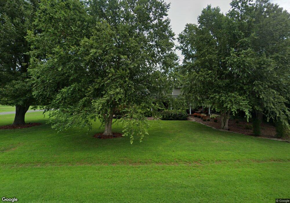
401 Queen Anne Club Dr Stevensville, MD 21666
Estimated Value: $684,000 - $736,000
--
Bed
3
Baths
2,798
Sq Ft
$255/Sq Ft
Est. Value
About This Home
This home is located at 401 Queen Anne Club Dr, Stevensville, MD 21666 and is currently estimated at $712,946, approximately $254 per square foot. 401 Queen Anne Club Dr is a home located in Queen Anne's County with nearby schools including Matapeake Elementary School, Matapeake Middle School, and Kent Island High School.
Ownership History
Date
Name
Owned For
Owner Type
Purchase Details
Closed on
Aug 13, 2021
Sold by
Smith Timothy S and Smith Susan C
Bought by
Smith Timothy Scot and Smith Susan Chaires
Current Estimated Value
Purchase Details
Closed on
Aug 1, 1986
Sold by
Gill Manocheh J and Gill Angela E
Bought by
Chaires William F
Home Financials for this Owner
Home Financials are based on the most recent Mortgage that was taken out on this home.
Original Mortgage
$110,000
Interest Rate
10.4%
Create a Home Valuation Report for This Property
The Home Valuation Report is an in-depth analysis detailing your home's value as well as a comparison with similar homes in the area
Home Values in the Area
Average Home Value in this Area
Purchase History
| Date | Buyer | Sale Price | Title Company |
|---|---|---|---|
| Smith Timothy Scot | -- | None Available | |
| Chaires William F | $155,000 | -- |
Source: Public Records
Mortgage History
| Date | Status | Borrower | Loan Amount |
|---|---|---|---|
| Closed | Chaires William F | $110,000 |
Source: Public Records
Tax History Compared to Growth
Tax History
| Year | Tax Paid | Tax Assessment Tax Assessment Total Assessment is a certain percentage of the fair market value that is determined by local assessors to be the total taxable value of land and additions on the property. | Land | Improvement |
|---|---|---|---|---|
| 2025 | $4,811 | $510,700 | $0 | $0 |
| 2024 | $4,664 | $488,700 | $0 | $0 |
| 2023 | $4,456 | $466,700 | $220,600 | $246,100 |
| 2022 | $4,380 | $458,567 | $0 | $0 |
| 2021 | $4,252 | $450,433 | $0 | $0 |
| 2020 | $4,252 | $442,300 | $219,800 | $222,500 |
| 2019 | $4,052 | $420,533 | $0 | $0 |
| 2018 | $3,860 | $398,767 | $0 | $0 |
| 2017 | $3,676 | $377,000 | $0 | $0 |
| 2016 | -- | $374,333 | $0 | $0 |
| 2015 | $1,572 | $371,667 | $0 | $0 |
| 2014 | $1,572 | $369,000 | $0 | $0 |
Source: Public Records
Map
Nearby Homes
- 312 Columbia Ln
- 412 Five Farms Dr
- 303 Queen Anne Club Dr
- 410 5 Farms Dr
- 227 Queen Anne Club Dr
- 206 Columbia Ln
- 303 Queens Colony High Rd
- 312 Queens Colony High Rd
- 511 Chesapeake Ave
- 321 Oregon Rd
- 114 Queens Colony High Rd
- 0 Allen Ave
- 116 Mallard Dr
- 0 Reynolds Ave
- 101 Oak St
- 122 Mallard Dr
- 122 S Carolina Rd
- 306 N Lake Rd
- 116 Talbot Rd
- 224 Wicomico Rd
- 403 Queen Anne Club Dr
- 327 Columbia Ln
- 405 Queen Anne Club Dr
- 400 Queen Anne Club Dr
- 328 Queen Anne Club Dr
- 325 Columbia Ln
- 325 Queen Anne Club Dr
- 324 Columbia Ln
- 204 Congressional Dr
- 326 Queen Anne Club Dr
- 404 Queen Anne Club Dr
- 202 Congressional Dr
- 324 Queen Anne Club Dr
- 406 Queen Anne Club Dr
- 323 Columbia Ln
- 322 Columbia Ln
- 308 Queens Ct
- 300 Congressional Dr
- 322 Queen Anne Club Dr
- 321 Queen Anne Club Dr