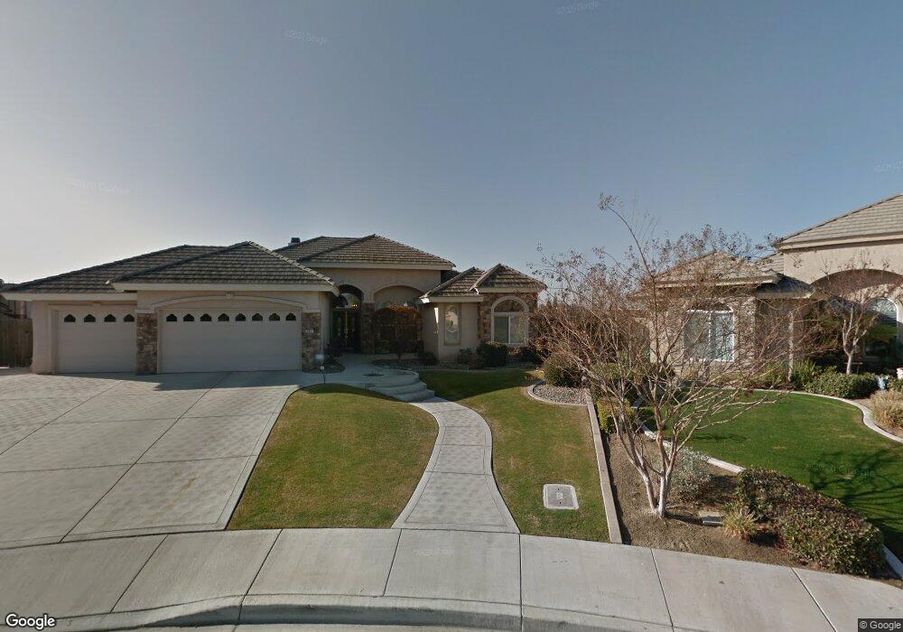
401 Rough Rock Ct Bakersfield, CA 93312
Brighton NeighborhoodEstimated Value: $553,000 - $622,920
About This Home
This home is located at 401 Rough Rock Ct, Bakersfield, CA 93312 and is currently estimated at $583,480, approximately $249 per square foot. 401 Rough Rock Ct is a home located in Kern County with nearby schools including American Elementary School, Rosedale Middle School, and Liberty High School.
Ownership History
We collect this data history from publicly available records. To have your information removed, we recommend requesting removal directly through your county’s website.
Purchase Details
Home Financials for this Owner
Home Financials are based on the most recent Mortgage that was taken out on this home.Home Values in the Area
Average Home Value in this Area
Purchase History
We collect this data history from publicly available records. To have your information removed, we recommend requesting removal directly through your county’s website.
| Date | Buyer | Sale Price | Title Company |
|---|---|---|---|
| -- | American Title Co |
Mortgage History
We collect this data history from publicly available records. To have your information removed, we recommend requesting removal directly through your county’s website.
| Date | Status | Borrower | Loan Amount |
|---|---|---|---|
| Open | $230,655 | ||
| Closed | $255,000 | ||
| Closed | $252,000 | ||
| Closed | $36,200 | ||
| Closed | $231,000 |
Tax History
We collect this data history from publicly available records. To have your information removed, we recommend requesting removal directly through your county’s website.
| Year | Tax Paid | Tax Assessment Tax Assessment Total Assessment is a certain percentage of the fair market value that is determined by local assessors to be the total taxable value of land and additions on the property. | Land | Improvement |
|---|---|---|---|---|
| 2025 | $5,280 | $349,931 | $73,854 | $276,077 |
| 2024 | $5,177 | $343,071 | $72,406 | $270,665 |
| 2023 | $5,177 | $336,346 | $70,987 | $265,359 |
| 2022 | $5,084 | $329,753 | $69,596 | $260,157 |
| 2021 | $4,929 | $323,289 | $68,232 | $255,057 |
| 2020 | $4,874 | $319,975 | $67,533 | $252,442 |
| 2019 | $4,751 | $319,975 | $67,533 | $252,442 |
| 2018 | $4,647 | $307,552 | $64,911 | $242,641 |
| 2017 | $4,594 | $301,524 | $63,639 | $237,885 |
| 2016 | $4,508 | $295,613 | $62,392 | $233,221 |
| 2015 | $4,448 | $291,174 | $61,455 | $229,719 |
| 2014 | $4,363 | $285,472 | $60,252 | $225,220 |
Map
- 11009 Strathaven St
- 403 Stone Cross Dr
- 10723 Iron Creek Ave
- 513 Westerville Ct
- 204 Somerford Ct Unit 2
- 11001 Four Bears Dr
- 10703 Queensbury Dr
- 11715 Stonington St
- 243 Bloomfield Dr Unit 3
- 11315 Queensbury Dr Unit 1
- 10503 Hinderhill Dr Unit 1
- 10419 Olympia Fields Dr
- 12023 Winger St
- 804 Loch Lloyd Ln
- 12011 Kimelford Dr
- 11509 Buffington St
- 11504 Buffington St
- 10304 Crandon Park Dr Unit 10
- 12209 Tule River Way
- 12210 Rushville Ct
- 405 Rough Rock Ct
- 400 Rough Rock Ct
- 409 Rough Rock Ct
- 404 Rough Rock Ct
- 11111 Chimney Rock Dr
- 408 Rough Rock Ct
- 11115 Chimney Rock Dr
- 407 Hawk Springs Dr
- 403 Hawk Springs Dr
- 11119 Chimney Rock Dr
- 11102 Strathaven St
- 411 Hawk Springs Dr
- 11008 Strathaven St
- 11106 Chimney Rock Dr
- 11106 Strathaven St
- 11110 Chimney Rock Dr
- 11102 Chimney Rock Dr
- 11004 Strathaven St
- 11114 Chimney Rock Dr
- 11008 Chimney Rock Dr
Ask me questions while you tour the home.