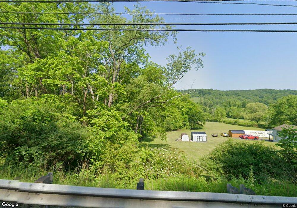
401 Route 356 Freeport, PA 16229
Allegheny Township NeighborhoodEstimated Value: $328,000 - $565,342
--
Bed
--
Bath
1,830
Sq Ft
$252/Sq Ft
Est. Value
About This Home
This home is located at 401 Route 356, Freeport, PA 16229 and is currently estimated at $461,836, approximately $252 per square foot. 401 Route 356 is a home located in Westmoreland County with nearby schools including Kiski Area High School, Harvest Baptist Academy, and St. Joseph High School.
Ownership History
Date
Name
Owned For
Owner Type
Purchase Details
Closed on
May 1, 2025
Sold by
Kirsch Joan and Kirsch Kenneth J
Bought by
Christopher Derek J
Current Estimated Value
Purchase Details
Closed on
Jan 20, 2025
Sold by
Miller Thomson Mary and Miller Robert Suggett
Bought by
Thomson Margaret and Adams Louise Janet
Purchase Details
Closed on
Jun 26, 2015
Sold by
Lingenfelter John D and Lingenfelter Carol S
Bought by
Kirsch Joan and Kirsch Kenneth J
Home Financials for this Owner
Home Financials are based on the most recent Mortgage that was taken out on this home.
Original Mortgage
$238,400
Interest Rate
3.84%
Mortgage Type
New Conventional
Purchase Details
Closed on
May 15, 2013
Sold by
Lingenfelter John D and Lingenfelter Carol S
Bought by
The Lingenfelter Family Protector
Create a Home Valuation Report for This Property
The Home Valuation Report is an in-depth analysis detailing your home's value as well as a comparison with similar homes in the area
Home Values in the Area
Average Home Value in this Area
Purchase History
| Date | Buyer | Sale Price | Title Company |
|---|---|---|---|
| Christopher Derek J | -- | None Listed On Document | |
| Thomson Margaret | -- | None Listed On Document | |
| Kirsch Joan | $298,000 | None Available | |
| The Lingenfelter Family Protector | $160,788 | None Available |
Source: Public Records
Mortgage History
| Date | Status | Borrower | Loan Amount |
|---|---|---|---|
| Previous Owner | Kirsch Joan | $238,400 |
Source: Public Records
Tax History Compared to Growth
Tax History
| Year | Tax Paid | Tax Assessment Tax Assessment Total Assessment is a certain percentage of the fair market value that is determined by local assessors to be the total taxable value of land and additions on the property. | Land | Improvement |
|---|---|---|---|---|
| 2025 | $5,974 | $39,390 | $3,020 | $36,370 |
| 2024 | $5,669 | $39,390 | $3,020 | $36,370 |
| 2023 | $5,183 | $39,390 | $3,020 | $36,370 |
| 2022 | $5,065 | $39,390 | $3,020 | $36,370 |
| 2021 | $5,066 | $39,390 | $3,020 | $36,370 |
| 2020 | $5,052 | $39,390 | $3,020 | $36,370 |
| 2019 | $5,032 | $36,460 | $3,020 | $33,440 |
| 2018 | $4,585 | $36,460 | $3,020 | $33,440 |
| 2017 | $4,477 | $36,460 | $3,020 | $33,440 |
| 2016 | $4,409 | $36,460 | $3,020 | $33,440 |
| 2015 | $4,409 | $36,460 | $3,020 | $33,440 |
| 2014 | $4,387 | $36,460 | $3,020 | $33,440 |
Source: Public Records
Map
Nearby Homes
- 255 2nd St
- 118 Washington St
- 117 Route 908
- 221 Summit Dr
- 117 Altermoor Dr
- 111 Helin Dr
- 160 Helin Dr
- 128 Buffalo Trail Dr
- 103 Cherokee Ct
- 100 Willow Dr
- 102 Pioneer Ct
- 1765 State Route 356
- 276 Teaberry Ln
- 182 Beale Rd Unit A
- 3232 Rambler Dr
- 1518 Saxonburg Rd
- 2873 N Meadow St
- 2863 N Meadow St
- 1017 Olive Ave
- 205 Ekastown Rd
- 2184 Route 356
- 356 T
- 26 Dana Ln
- 89 Dana Ln
- 64 Dana Ln
- 251 River Landing
- 251 River Landing
- 287 River Landing
- 103 Garvers Ferry Rd
- 3 River Forest Dr
- 3 River Forest Dr
- 3 River Forest Dr
- 1 River Forest Dr
- 1 River Forest Dr
- 1 River Forest Dr
- 1 River Forest Dr
- 2120 Route 356
- 30 River Forest Dr
- 10 River Forest Dr
- 80 River Forest Dr
