401 S 79th St W Muskogee, OK 74401
Estimated Value: $378,000 - $466,000
3
Beds
2
Baths
2,892
Sq Ft
$143/Sq Ft
Est. Value
About This Home
This home is located at 401 S 79th St W, Muskogee, OK 74401 and is currently estimated at $414,318, approximately $143 per square foot. 401 S 79th St W is a home located in Muskogee County with nearby schools including Cherokee Elementary School, 8th & 9th Grade Academy @ Alice Robertson, and Muskogee High School.
Ownership History
Date
Name
Owned For
Owner Type
Purchase Details
Closed on
Jun 26, 2006
Sold by
Freeman Robert L and Freeman Mary
Bought by
Bell Stephen L and Bell Priscilla Gayle
Current Estimated Value
Home Financials for this Owner
Home Financials are based on the most recent Mortgage that was taken out on this home.
Original Mortgage
$151,000
Outstanding Balance
$88,726
Interest Rate
6.56%
Mortgage Type
New Conventional
Estimated Equity
$325,592
Purchase Details
Closed on
Mar 29, 1999
Create a Home Valuation Report for This Property
The Home Valuation Report is an in-depth analysis detailing your home's value as well as a comparison with similar homes in the area
Home Values in the Area
Average Home Value in this Area
Purchase History
| Date | Buyer | Sale Price | Title Company |
|---|---|---|---|
| Bell Stephen L | $244,400 | Pioneer Abstract & Title Co | |
| -- | $165,000 | -- |
Source: Public Records
Mortgage History
| Date | Status | Borrower | Loan Amount |
|---|---|---|---|
| Open | Bell Stephen L | $151,000 |
Source: Public Records
Tax History Compared to Growth
Tax History
| Year | Tax Paid | Tax Assessment Tax Assessment Total Assessment is a certain percentage of the fair market value that is determined by local assessors to be the total taxable value of land and additions on the property. | Land | Improvement |
|---|---|---|---|---|
| 2025 | $2,770 | $27,722 | $863 | $26,859 |
| 2024 | $2,770 | $26,915 | $838 | $26,077 |
| 2023 | $2,770 | $26,914 | $566 | $26,348 |
| 2022 | $2,409 | $26,130 | $422 | $25,708 |
| 2021 | $2,350 | $24,631 | $147 | $24,484 |
| 2020 | $2,330 | $24,631 | $147 | $24,484 |
| 2019 | $2,283 | $24,631 | $147 | $24,484 |
| 2018 | $2,232 | $24,631 | $147 | $24,484 |
| 2017 | $2,200 | $24,782 | $147 | $24,635 |
| 2016 | $2,234 | $24,782 | $147 | $24,635 |
| 2015 | $2,266 | $24,782 | $147 | $24,635 |
| 2014 | $0 | $24,782 | $147 | $24,635 |
Source: Public Records
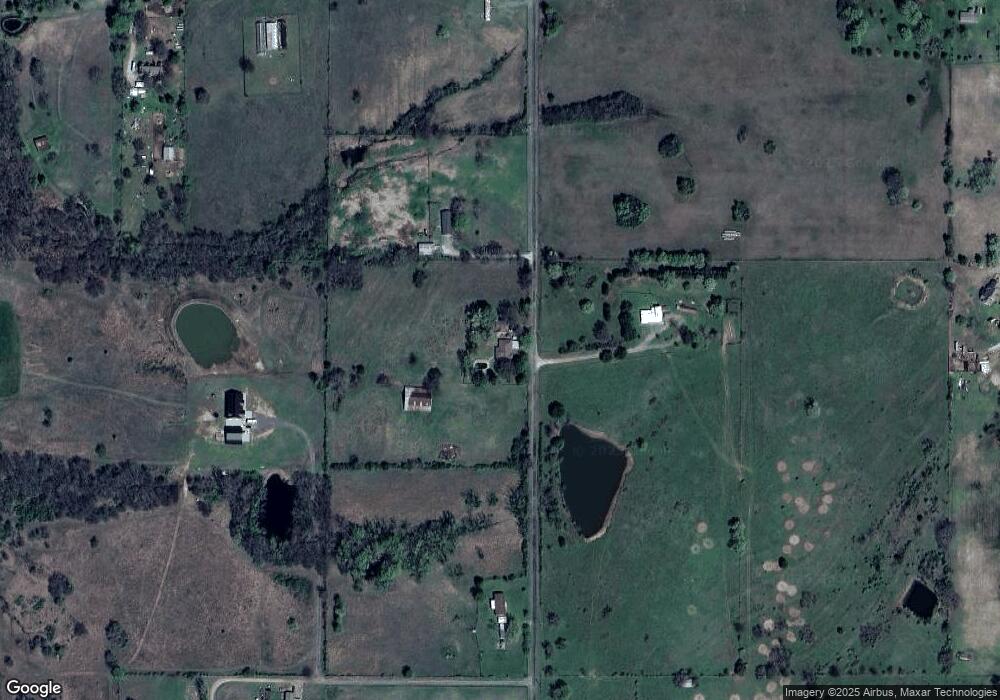
Map
Nearby Homes
- 8031 W 16th St N
- 7860 W 16th St N
- 501 S 64th St W
- 6 U S Highway 64
- 1741 S 64th St W
- 1231 S 61st St W
- 711 W Broadway St
- 000000 N 12th
- 1500 W Shawnee
- 907 Kershaw Dr
- 0 Junction St Unit 2537657
- 6351 W 23rd St N
- 1005 Kershaw Dr
- 2251 S 64th St W
- 8450 Fern Mountain Rd
- 8500 Fern Mountain Rd
- 5419 Pine St
- 5431 Estelle
- 2315 N 60th St W
- 8510 W Fern Mountain Rd
- 325 S 79th St W
- 151 S 79th St W
- 7903 Old Taft Rd
- 404 S 79th St W
- 335 N 79th St W
- 7904 Taft Rd
- 640 N 79th St W
- 8101 Old Taft Rd
- 8111 Old Taft Rd
- 7635 Old Taft Rd
- 601 S 79th St W
- 7520 W 12th St N
- 7500 W 12th St N
- 7420 W 7th St S
- 8191 Old Taft Rd
- 8201 Old Taft Rd
- 7600 Old Taft Rd
- 7601 Old Taft Rd
- 1431 S 104th St W
- 1468 S 104th St W