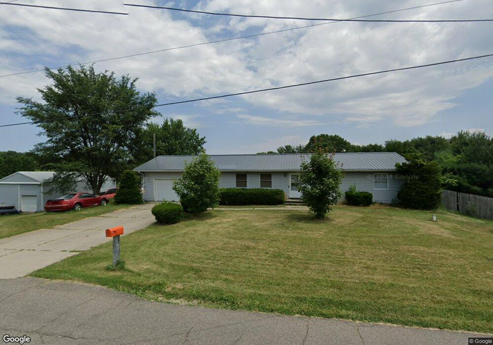
401 S Forrester Rd La Porte, IN 46350
Estimated Value: $248,758 - $378,000
3
Beds
2
Baths
1,300
Sq Ft
$235/Sq Ft
Est. Value
About This Home
This home is located at 401 S Forrester Rd, La Porte, IN 46350 and is currently estimated at $305,690, approximately $235 per square foot. 401 S Forrester Rd is a home located in LaPorte County with nearby schools including La Porte High School and F. Willard Crichfield Elementary School.
Ownership History
Date
Name
Owned For
Owner Type
Purchase Details
Closed on
Oct 21, 2015
Sold by
Vaughn James F and Vaughn Dianna R
Bought by
Vaughn James D
Current Estimated Value
Home Financials for this Owner
Home Financials are based on the most recent Mortgage that was taken out on this home.
Original Mortgage
$103,500
Outstanding Balance
$42,032
Interest Rate
3.91%
Mortgage Type
New Conventional
Estimated Equity
$263,658
Purchase Details
Closed on
Jun 12, 2011
Sold by
Vaughn James D and Vaughn Rebecca
Bought by
Vaughn James F and Vaughn Dianna R
Purchase Details
Closed on
Feb 19, 2011
Sold by
Vaughn James F and Vaughn Dianna R
Bought by
Vaughn James D and Vaughn Rebecca
Purchase Details
Closed on
Oct 3, 2005
Sold by
Vaughn James F and Vaughn Dianna R
Bought by
Vaughn James D and Vaughn Rebecca
Create a Home Valuation Report for This Property
The Home Valuation Report is an in-depth analysis detailing your home's value as well as a comparison with similar homes in the area
Home Values in the Area
Average Home Value in this Area
Purchase History
| Date | Buyer | Sale Price | Title Company |
|---|---|---|---|
| Vaughn James D | -- | None Available | |
| Vaughn James F | -- | None Available | |
| Vaughn James D | -- | None Available | |
| Vaughn James D | -- | -- | |
| Vaughn James F | -- | Ticor Title Insurance Co |
Source: Public Records
Mortgage History
| Date | Status | Borrower | Loan Amount |
|---|---|---|---|
| Open | Vaughn James D | $103,500 |
Source: Public Records
Tax History Compared to Growth
Tax History
| Year | Tax Paid | Tax Assessment Tax Assessment Total Assessment is a certain percentage of the fair market value that is determined by local assessors to be the total taxable value of land and additions on the property. | Land | Improvement |
|---|---|---|---|---|
| 2024 | $1,511 | $162,300 | $32,500 | $129,800 |
| 2023 | $1,432 | $162,700 | $32,500 | $130,200 |
| 2022 | $1,641 | $170,000 | $32,500 | $137,500 |
| 2021 | $1,544 | $158,900 | $32,500 | $126,400 |
| 2020 | $1,494 | $158,900 | $32,500 | $126,400 |
| 2019 | $1,531 | $155,000 | $32,500 | $122,500 |
| 2018 | $1,533 | $152,900 | $32,500 | $120,400 |
| 2017 | $1,412 | $147,300 | $32,500 | $114,800 |
| 2016 | $1,358 | $148,400 | $32,500 | $115,900 |
| 2014 | $1,411 | $159,700 | $29,000 | $130,700 |
Source: Public Records
Map
Nearby Homes
- 0 N Goldring Rd Unit NRA828377
- 1139 S 500 W
- 1111 S 500 W
- 906 N Honeysuckle Ln
- 5424 W 150 N
- 0 N Forrester Rd
- 5709 W 150 N
- 7101 W 125 N
- 3977 W Timber Ridge Rd
- 166 N Woodland Dr
- 3866 W Pawnee Dr
- 1587 N Rustic Dr
- 554 N Orr Lake Rd
- 3566 W Small Rd
- 1441 N Wozniak Rd
- 7725 W Arndt Ct
- 0 W Applewood Dr Unit NRA813098
- 0 Circle View Ln Unit NRA825261
- 1967 N Rustic Ct
- 2660 N Rembrandt Ln
- 413 S Forrester Rd
- 402 S Forrester Rd
- 389 S Forrester Rd
- 392 S Forrester Rd
- 491 S Forrester Rd
- 311 S Forrester Rd
- 5995 W 50 S
- 5911 W 50 S
- 497 S Forrester Rd
- 5901 W 50 S
- 499 S Forrester Rd
- 193 S Forrester Rd
- 5847 W 50 S
- 202 S Forrester Rd
- 5841 W 50 S
- 163 S Forrester Rd
- 5922 W 50 S
- 62 S Forrester Rd
- 5771 W 50 S
- 5938 W 50 S