401 Sanders Rd Weatherford, TX 76087
Estimated Value: $442,910 - $512,000
3
Beds
2
Baths
2,116
Sq Ft
$226/Sq Ft
Est. Value
About This Home
This home is located at 401 Sanders Rd, Weatherford, TX 76087 and is currently estimated at $477,455, approximately $225 per square foot. 401 Sanders Rd is a home located in Parker County with nearby schools including Austin Elementary School, Hall Middle School, and Weatherford High School.
Ownership History
Date
Name
Owned For
Owner Type
Purchase Details
Closed on
Jun 1, 2016
Sold by
Simpson Brenda Lee
Bought by
Sare Lori and Sare Joanne
Current Estimated Value
Home Financials for this Owner
Home Financials are based on the most recent Mortgage that was taken out on this home.
Original Mortgage
$178,500
Outstanding Balance
$142,159
Interest Rate
3.59%
Mortgage Type
New Conventional
Estimated Equity
$335,296
Purchase Details
Closed on
Sep 8, 2015
Sold by
Simpson Jim
Bought by
Sare Lori and Sare Joanne
Purchase Details
Closed on
Dec 1, 2005
Sold by
No Owner On File
Bought by
Sare Lori and Sare Joanne
Create a Home Valuation Report for This Property
The Home Valuation Report is an in-depth analysis detailing your home's value as well as a comparison with similar homes in the area
Home Values in the Area
Average Home Value in this Area
Purchase History
| Date | Buyer | Sale Price | Title Company |
|---|---|---|---|
| Sare Lori | -- | Providence Title Company | |
| Sare Lori | -- | -- | |
| Sare Lori | -- | -- |
Source: Public Records
Mortgage History
| Date | Status | Borrower | Loan Amount |
|---|---|---|---|
| Open | Sare Lori | $178,500 |
Source: Public Records
Tax History Compared to Growth
Tax History
| Year | Tax Paid | Tax Assessment Tax Assessment Total Assessment is a certain percentage of the fair market value that is determined by local assessors to be the total taxable value of land and additions on the property. | Land | Improvement |
|---|---|---|---|---|
| 2025 | $2,788 | $321,050 | $47,690 | $273,360 |
| 2024 | $2,788 | $333,102 | -- | -- |
| 2023 | $2,788 | $302,820 | $0 | $0 |
| 2022 | $5,120 | $291,200 | $24,720 | $266,480 |
| 2021 | $5,039 | $291,200 | $24,720 | $266,480 |
| 2020 | $4,603 | $227,520 | $24,610 | $202,910 |
| 2019 | $5,320 | $246,710 | $24,610 | $222,100 |
| 2018 | $4,468 | $205,410 | $23,610 | $181,800 |
| 2017 | $4,559 | $205,410 | $23,610 | $181,800 |
| 2016 | $3,268 | $147,220 | $14,670 | $132,550 |
| 2015 | $2,425 | $147,220 | $14,670 | $132,550 |
| 2014 | $2,258 | $124,290 | $14,670 | $109,620 |
Source: Public Records
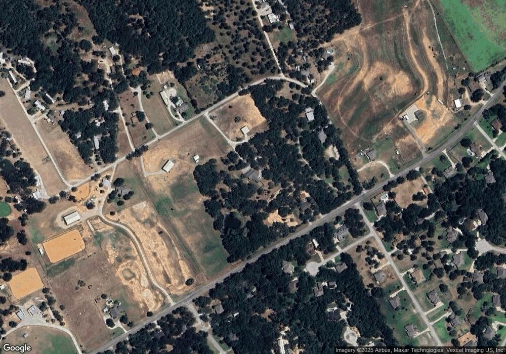
Map
Nearby Homes
- 1001 Trinity Oaks Rd
- 128 Southwinds Dr
- 425 Fm 1708
- XXX Tin Top Rd
- 145 Tobiano Trace
- 133 Tobiano Trace
- 650 Spring Creek Pkwy
- TBD Tbd
- tbd Pinnacle Peak Ln
- 1001 Bluebonnet Ridge
- 113 Oaks Springs Ln
- 8300 Norris Cir
- 1019 Bluebonnet Ridge
- 1020 Bluebonnet Ridge
- TBD Thompson Rd
- 3952 Tin Top Rd
- 5444 Meadow Ridge Dr
- 2001 Pinetree Post
- 1021 Annabelles Ave
- 800 Purselly Ct
- 924 Farm To Market Road 1708
- 924 Fm 1708
- 924 Fm 1708
- TBD Sanders Rd
- 900 Fm 1708
- 414 Sanders Rd
- 104 Laurel Valley Ct
- 108 Laurel Valley Ct
- 100 Laurel Valley Ct
- 246 Sanders Rd
- 109 Laurel Valley Ct
- 144 Sanders Rd
- 1081 Fm 1708
- 1100 Fm 1708
- 450 Sanders Rd
- 105 Laurel Valley Ct
- 101 Laurel Valley Ct
- 101 Southwinds Dr
- 198 Foxpointe Cir
- 234 Sanders Rd