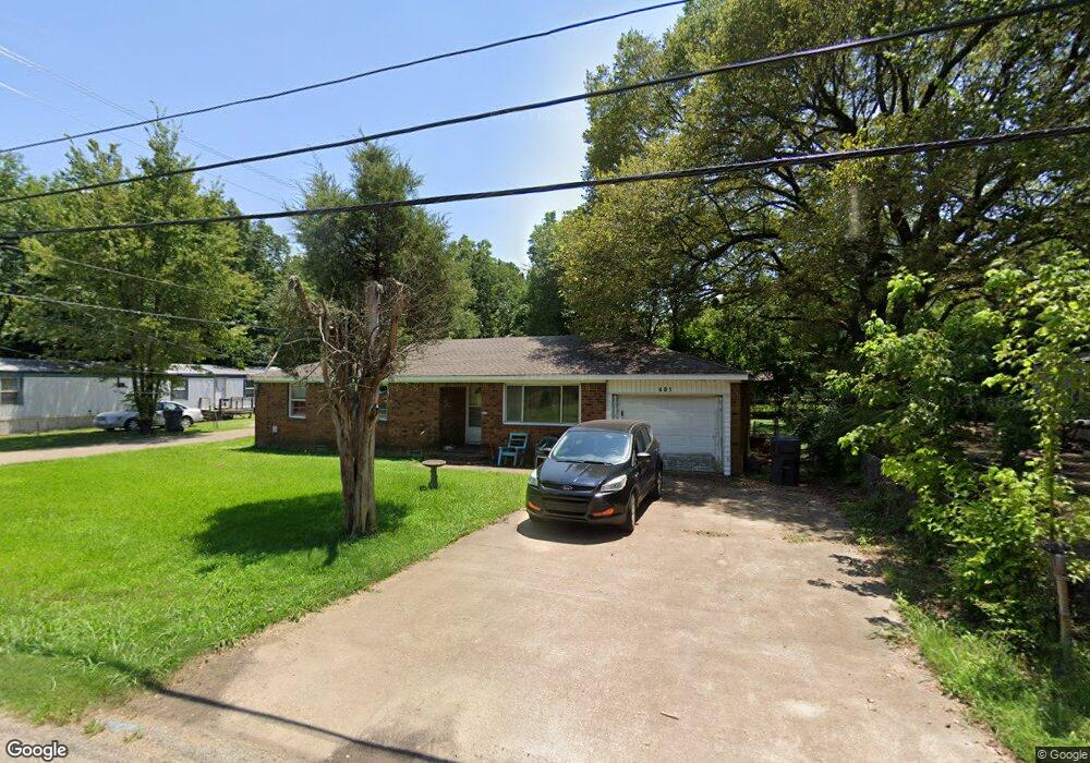
401 W Forrest St Jonesboro, AR 72401
Estimated Value: $70,000 - $97,000
--
Bed
1
Bath
1,364
Sq Ft
$65/Sq Ft
Est. Value
About This Home
This home is located at 401 W Forrest St, Jonesboro, AR 72401 and is currently estimated at $88,800, approximately $65 per square foot. 401 W Forrest St is a home located in Craighead County with nearby schools including Annie Camp Junior High School, The Academies at Jonesboro High School, and Montessori School of Jonesboro.
Ownership History
Date
Name
Owned For
Owner Type
Purchase Details
Closed on
Aug 29, 2017
Sold by
Wells Fargo Bank
Bought by
Perkins Joe Wesley and Perkins Rebecca Jean
Current Estimated Value
Purchase Details
Closed on
Aug 25, 2017
Sold by
Federal National Mortgage Association
Bought by
Wells Fargo Bank Na
Purchase Details
Closed on
Jun 9, 2017
Sold by
Scife Eddie and Wilson Robert M
Bought by
Wells Fargo Bank
Home Financials for this Owner
Home Financials are based on the most recent Mortgage that was taken out on this home.
Original Mortgage
$74,221
Interest Rate
4.03%
Mortgage Type
Commercial
Purchase Details
Closed on
Aug 28, 2000
Bought by
Scaife
Purchase Details
Closed on
Apr 8, 1993
Bought by
Mounce
Create a Home Valuation Report for This Property
The Home Valuation Report is an in-depth analysis detailing your home's value as well as a comparison with similar homes in the area
Home Values in the Area
Average Home Value in this Area
Purchase History
| Date | Buyer | Sale Price | Title Company |
|---|---|---|---|
| Perkins Joe Wesley | $10,500 | -- | |
| Wells Fargo Bank Na | -- | -- | |
| Wells Fargo Bank | -- | -- | |
| Scaife | $44,000 | -- | |
| Mounce | -- | -- |
Source: Public Records
Mortgage History
| Date | Status | Borrower | Loan Amount |
|---|---|---|---|
| Previous Owner | Wells Fargo Bank | $74,221 |
Source: Public Records
Tax History Compared to Growth
Tax History
| Year | Tax Paid | Tax Assessment Tax Assessment Total Assessment is a certain percentage of the fair market value that is determined by local assessors to be the total taxable value of land and additions on the property. | Land | Improvement |
|---|---|---|---|---|
| 2025 | $459 | $10,886 | $400 | $10,486 |
| 2024 | $459 | $10,886 | $400 | $10,486 |
| 2023 | $449 | $10,886 | $400 | $10,486 |
| 2022 | $449 | $10,886 | $400 | $10,486 |
| 2021 | $458 | $10,850 | $400 | $10,450 |
| 2020 | $458 | $10,850 | $400 | $10,450 |
| 2019 | $458 | $10,850 | $400 | $10,450 |
| 2018 | $458 | $10,850 | $400 | $10,450 |
| 2017 | $307 | $10,850 | $400 | $10,450 |
| 2016 | $279 | $6,610 | $400 | $6,210 |
| 2015 | $279 | $6,610 | $400 | $6,210 |
| 2014 | $279 | $6,610 | $400 | $6,210 |
Source: Public Records
Map
Nearby Homes
- 217 W Forrest St
- 0 W Forrest St
- 402 W Woodrow St
- 406 W Woodrow St
- 418 W Woodrow St
- 404 W Forrest St
- 408 W Woodrow St
- 209 W Forrest St
- 406 W Forrest St
- 411 W Forrest St
- 409 W Forrest St
- 408 W Forrest St
- 410 W Forrest St
- 403 W Woodrow St
- 207 W Forrest St
- 505 Bradley St
- 412 W Forrest St
- 501 Bradley St
- 0 Bradley St
- 208 W Forrest St