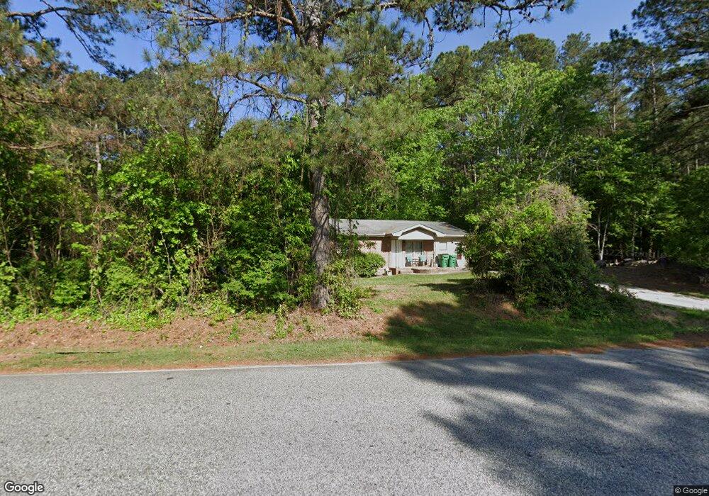
401 Watson Rd Winder, GA 30680
Estimated Value: $247,421 - $322,000
2
Beds
2
Baths
1,350
Sq Ft
$206/Sq Ft
Est. Value
About This Home
This home is located at 401 Watson Rd, Winder, GA 30680 and is currently estimated at $278,605, approximately $206 per square foot. 401 Watson Rd is a home located in Barrow County with nearby schools including Kennedy Elementary School, Westside Middle School, and Apalachee High School.
Ownership History
Date
Name
Owned For
Owner Type
Purchase Details
Closed on
Nov 20, 2024
Sold by
Talley Tina
Bought by
Bailey Paul R and Bailey Tina
Current Estimated Value
Purchase Details
Closed on
Jun 28, 2000
Sold by
Little Gary
Bought by
Talley Tina
Home Financials for this Owner
Home Financials are based on the most recent Mortgage that was taken out on this home.
Original Mortgage
$94,900
Interest Rate
8.63%
Mortgage Type
FHA
Create a Home Valuation Report for This Property
The Home Valuation Report is an in-depth analysis detailing your home's value as well as a comparison with similar homes in the area
Home Values in the Area
Average Home Value in this Area
Purchase History
| Date | Buyer | Sale Price | Title Company |
|---|---|---|---|
| Bailey Paul R | -- | -- | |
| Talley Tina | $95,000 | -- |
Source: Public Records
Mortgage History
| Date | Status | Borrower | Loan Amount |
|---|---|---|---|
| Previous Owner | Talley Tina | $94,900 |
Source: Public Records
Tax History Compared to Growth
Tax History
| Year | Tax Paid | Tax Assessment Tax Assessment Total Assessment is a certain percentage of the fair market value that is determined by local assessors to be the total taxable value of land and additions on the property. | Land | Improvement |
|---|---|---|---|---|
| 2024 | $1,138 | $47,074 | $9,600 | $37,474 |
| 2023 | $674 | $47,074 | $9,600 | $37,474 |
| 2022 | $1,045 | $33,485 | $9,600 | $23,885 |
| 2021 | $1,031 | $33,485 | $9,600 | $23,885 |
| 2020 | $1,035 | $33,485 | $9,600 | $23,885 |
| 2019 | $958 | $29,794 | $9,600 | $20,194 |
| 2018 | $950 | $29,794 | $9,600 | $20,194 |
| 2017 | $789 | $26,440 | $9,600 | $16,840 |
| 2016 | $760 | $26,696 | $9,600 | $17,096 |
| 2015 | $766 | $26,952 | $9,600 | $17,352 |
| 2014 | $608 | $22,312 | $4,704 | $17,608 |
| 2013 | -- | $21,569 | $4,704 | $16,865 |
Source: Public Records
Map
Nearby Homes
- 1106 Sutherland Dr
- 245 Oceanliner Dr
- 252 Oceanliner Dr
- 256 Oceanliner Dr
- 1076 Sutherland Dr
- 536 Dianne Ct
- 435 Watson Rd
- 1053 Sutherland Dr
- 0 Gordon Ct Unit 10634940
- 0 Gordon Ct Unit 7674399
- 29 Lighthouse Dr
- 1048 Sutherland Dr
- 812 Castilla Way
- 0 Atlanta Hwy SE Unit 10371310
- 211 Brooks Ln
- 120 2nd St
- 40 Huckleberry Ln
- 194 Graham St
- 55 Huckleberry Ln
- 200 Capitol Ave
- 409 Watson Rd
- 416 Corinth Church Rd
- 414 Corinth Church Rd
- 412 Corinth Church Rd
- 407 Corinth Church Rd
- 407 Corinth Church Rd Unit 4
- 1601 Colton Landing Rd
- 402 Corinth Church Rd
- 417 Watson Rd
- 1603 Colton Landing Rd
- 393 Corinth Church Rd
- 393 Corinth Church Rd Unit 2
- 1605 Colton Landing Rd
- 1600 Colton Landing Rd
- 422 Renown Ct
- 414 Renown Ct
- 408 Renown Ct
- 418 Renown Ct
- 430 Renown Ct
- 425 Renown Ct