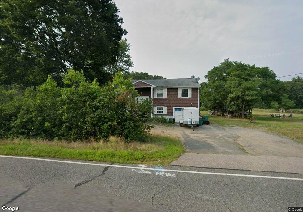
401 West St Mansfield, MA 02048
Estimated Value: $540,252 - $648,000
3
Beds
1
Bath
1,156
Sq Ft
$504/Sq Ft
Est. Value
About This Home
This home is located at 401 West St, Mansfield, MA 02048 and is currently estimated at $582,813, approximately $504 per square foot. 401 West St is a home with nearby schools including Everett W. Robinson Elementary School, Jordan/Jackson Elementary School, and Harold L. Qualters Middle School.
Ownership History
Date
Name
Owned For
Owner Type
Purchase Details
Closed on
Apr 23, 1998
Sold by
Appolloni John C and Apolloni Susan E
Bought by
Quirk Trust Llc
Current Estimated Value
Purchase Details
Closed on
Sep 24, 1992
Sold by
Meegan Carol A
Bought by
Appolloni John C and Appolloni Susan E
Home Financials for this Owner
Home Financials are based on the most recent Mortgage that was taken out on this home.
Original Mortgage
$108,000
Interest Rate
7.9%
Mortgage Type
Purchase Money Mortgage
Create a Home Valuation Report for This Property
The Home Valuation Report is an in-depth analysis detailing your home's value as well as a comparison with similar homes in the area
Home Values in the Area
Average Home Value in this Area
Purchase History
| Date | Buyer | Sale Price | Title Company |
|---|---|---|---|
| Quirk Trust Llc | $140,000 | -- | |
| Appolloni John C | $120,000 | -- |
Source: Public Records
Mortgage History
| Date | Status | Borrower | Loan Amount |
|---|---|---|---|
| Previous Owner | Appolloni John C | $108,000 |
Source: Public Records
Tax History
| Year | Tax Paid | Tax Assessment Tax Assessment Total Assessment is a certain percentage of the fair market value that is determined by local assessors to be the total taxable value of land and additions on the property. | Land | Improvement |
|---|---|---|---|---|
| 2025 | $5,952 | $451,900 | $215,700 | $236,200 |
| 2024 | $5,628 | $416,900 | $215,700 | $201,200 |
| 2023 | $5,509 | $391,000 | $215,700 | $175,300 |
| 2022 | $5,340 | $352,000 | $199,700 | $152,300 |
| 2021 | $5,192 | $338,000 | $185,000 | $153,000 |
| 2020 | $5,255 | $342,100 | $185,000 | $157,100 |
| 2019 | $4,735 | $311,100 | $154,000 | $157,100 |
| 2018 | $4,428 | $284,400 | $139,500 | $144,900 |
| 2017 | $4,252 | $283,100 | $135,500 | $147,600 |
| 2016 | $4,306 | $279,400 | $135,800 | $143,600 |
| 2015 | -- | $252,300 | $129,000 | $123,300 |
Source: Public Records
Map
Nearby Homes
- 399 West St
- 395 West St
- 407 West St
- 396 West St
- 36 Casa Dr
- 34 Casa Dr
- 5 Walnut St
- 15 Walnut St
- 40 Casa Dr
- 25 Walnut St
- 30 Casa Dr
- 0 West St Unit 71302422
- 0 West St Unit 71314522
- 0 West St Unit 71323194
- 0 West St Unit 71410331
- 0 West St Unit LOT 71794286
- 0 West St
- 0 West St Unit 30446413
- 430 West St
- 375 West St
Your Personal Tour Guide
Ask me questions while you tour the home.