4010 81st St Unit 1G Kenosha, WI 53142
Lance NeighborhoodEstimated Value: $196,000 - $208,000
2
Beds
2
Baths
1,086
Sq Ft
$185/Sq Ft
Est. Value
About This Home
This home is located at 4010 81st St Unit 1G, Kenosha, WI 53142 and is currently estimated at $200,756, approximately $184 per square foot. 4010 81st St Unit 1G is a home located in Kenosha County with nearby schools including Whittier Elementary School, Lance Middle School, and Tremper High School.
Ownership History
Date
Name
Owned For
Owner Type
Purchase Details
Closed on
Jul 31, 2020
Sold by
Bmak Donna L and Bmak Van Connie
Bought by
Swanson Catherine M
Current Estimated Value
Home Financials for this Owner
Home Financials are based on the most recent Mortgage that was taken out on this home.
Original Mortgage
$111,510
Interest Rate
2.8%
Mortgage Type
New Conventional
Create a Home Valuation Report for This Property
The Home Valuation Report is an in-depth analysis detailing your home's value as well as a comparison with similar homes in the area
Home Values in the Area
Average Home Value in this Area
Purchase History
| Date | Buyer | Sale Price | Title Company |
|---|---|---|---|
| Swanson Catherine M | $123,900 | None Available |
Source: Public Records
Mortgage History
| Date | Status | Borrower | Loan Amount |
|---|---|---|---|
| Previous Owner | Swanson Catherine M | $111,510 |
Source: Public Records
Tax History Compared to Growth
Tax History
| Year | Tax Paid | Tax Assessment Tax Assessment Total Assessment is a certain percentage of the fair market value that is determined by local assessors to be the total taxable value of land and additions on the property. | Land | Improvement |
|---|---|---|---|---|
| 2024 | $2,051 | $92,100 | $11,500 | $80,600 |
| 2023 | $2,051 | $92,100 | $11,500 | $80,600 |
| 2022 | $2,086 | $92,100 | $11,500 | $80,600 |
| 2021 | $2,128 | $92,100 | $11,500 | $80,600 |
| 2020 | $2,222 | $92,100 | $11,500 | $80,600 |
| 2019 | $2,128 | $92,100 | $11,500 | $80,600 |
| 2018 | $2,094 | $79,600 | $11,500 | $68,100 |
| 2017 | $2,006 | $79,600 | $11,500 | $68,100 |
| 2016 | $1,957 | $79,600 | $11,500 | $68,100 |
| 2015 | $1,825 | $71,600 | $11,500 | $60,100 |
| 2014 | $1,805 | $71,600 | $11,500 | $60,100 |
Source: Public Records
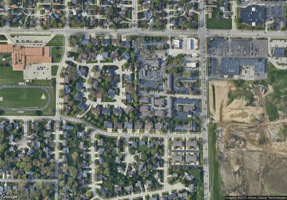
Map
Nearby Homes
- 8037 41st Ave Unit 29C
- 4129 81st Place Unit 18D
- 4205 80th St Unit 1D
- 7924 40th Ave
- 7840 43rd Ave
- 3410 80th St
- 3321 80th St
- 3505 85th St Unit 1B
- 8003 49th Ave
- 7601 Pershing Blvd
- 7615 37th Ave
- 7631 46th Ave
- 7646 46th Ave
- 5009 83rd St
- 3128 85th St
- 3920 75th St
- 3602 75th St
- 3502 75th St
- 7326 40th Ave
- 7619 49th Ave
- 4010 81st St Unit 1H
- 4010 81st St Unit 1F
- 4010 81st St Unit 1E
- 4010 81st St Unit 1D
- 4010 81st St Unit 1C
- 4010 81st St Unit 1B
- 4010 81st St Unit 1A
- 4010 81st St Unit G
- 4010 81st St
- 4008 81st St Unit 4H
- 4008 81st St Unit 4G
- 4008 81st St Unit 4F
- 4008 81st St Unit 4E
- 4008 81st St Unit 4D
- 4008 81st St Unit 4C
- 4008 81st St Unit 4B
- 4008 81st St Unit 4A
- 4008 81st St
- 4008 81st St Unit H
- 4008 81st St Unit F