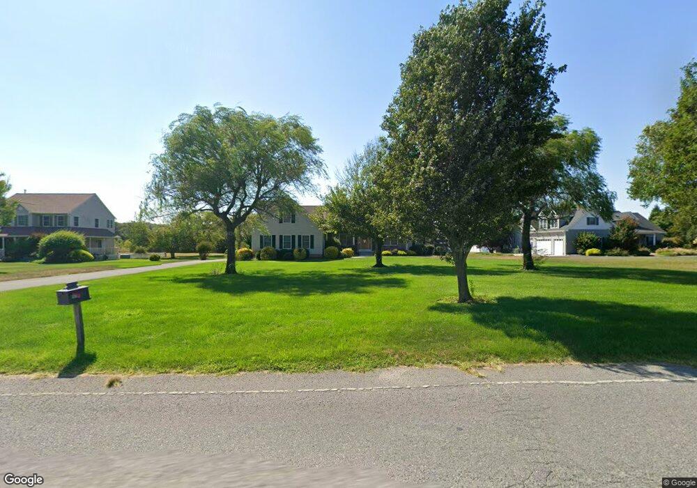
4010 Bayshore Rd Cape May, NJ 08204
Estimated Value: $1,223,369 - $1,545,000
--
Bed
--
Bath
2,655
Sq Ft
$513/Sq Ft
Est. Value
About This Home
This home is located at 4010 Bayshore Rd, Cape May, NJ 08204 and is currently estimated at $1,360,842, approximately $512 per square foot. 4010 Bayshore Rd is a home located in Cape May County with nearby schools including Carl T. Mitnick School, David C. Douglass Veterans Memorial School, and Maud Abrams School.
Ownership History
Date
Name
Owned For
Owner Type
Purchase Details
Closed on
Sep 21, 2015
Sold by
Brodesser Dolores M
Bought by
Dolores M Brodesser Revocable Trust
Current Estimated Value
Purchase Details
Closed on
Apr 13, 2015
Sold by
The Estate Of Joseph Brodesser and Brodesser Dolores M
Bought by
Brodesser Dolores M
Purchase Details
Closed on
Aug 16, 2004
Create a Home Valuation Report for This Property
The Home Valuation Report is an in-depth analysis detailing your home's value as well as a comparison with similar homes in the area
Home Values in the Area
Average Home Value in this Area
Purchase History
| Date | Buyer | Sale Price | Title Company |
|---|---|---|---|
| Dolores M Brodesser Revocable Trust | -- | Attorney | |
| Brodesser Dolores M | -- | Attorney | |
| -- | $543,400 | -- | |
| Brodesser Joseph | $543,410 | -- |
Source: Public Records
Tax History Compared to Growth
Tax History
| Year | Tax Paid | Tax Assessment Tax Assessment Total Assessment is a certain percentage of the fair market value that is determined by local assessors to be the total taxable value of land and additions on the property. | Land | Improvement |
|---|---|---|---|---|
| 2025 | $12,020 | $592,700 | $225,800 | $366,900 |
| 2024 | $12,020 | $592,700 | $225,800 | $366,900 |
| 2023 | $11,848 | $592,700 | $225,800 | $366,900 |
| 2022 | $11,487 | $592,700 | $225,800 | $366,900 |
| 2021 | $11,143 | $592,700 | $225,800 | $366,900 |
| 2020 | $10,965 | $592,700 | $225,800 | $366,900 |
| 2019 | $10,692 | $592,700 | $225,800 | $366,900 |
| 2018 | $10,437 | $592,700 | $225,800 | $366,900 |
| 2017 | $10,449 | $592,700 | $225,800 | $366,900 |
| 2016 | $10,289 | $592,700 | $225,800 | $366,900 |
| 2015 | $9,957 | $592,700 | $225,800 | $366,900 |
| 2014 | $9,631 | $592,700 | $225,800 | $366,900 |
Source: Public Records
Map
Nearby Homes
- 3 Hannah Dr
- 1023 Shunpike Rd
- 3941 Bayshore Rd
- 3911 Bayshore Rd
- 59 Westwood Dr
- 1036 Seashore Rd
- 1031 Seashore Rd
- 1062 Seashore Rd
- 1083 Seashore Rd
- 123 Stimpson Ln
- 712 Gorham Ave
- 306 Sixth Ave
- 602 Gorham Ave
- 313 Nantucket Dr
- 717 Third Ave
- 818 Shunpike Rd
- 712 Indian Ave
- 402 Whildam Ave
- 401 Fourth Ave
- 405 4th Ave
- 4012 Bayshore Rd
- 4008 Bayshore Rd
- 4 Linda Sue Ln
- 4014 Bayshore Rd
- 4006 Bayshore Rd
- 6 Linda Sue Ln
- 3 Linda Sue Ln
- 4035 Bayshore Rd
- 8 Linda Sue Ln
- 5 Linda Sue Ln
- 5 Linda Sue Ln Unit CAPE MAY ESTATES
- 4039 Bayshore Rd
- 7 Linda Sue Ln
- 10 Linda Sue Ln
- 4002 Bayshore Rd
- 4005 Bayshore Rd
- 598 New England Rd
- 596 New England Rd
- 9 Linda Sue Ln
- 594 New England Rd