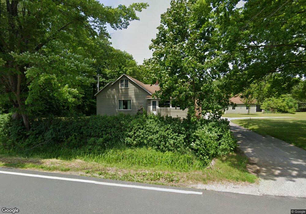
4010 Farr Rd Fruitport, MI 49415
Estimated Value: $243,000 - $315,846
2
Beds
1
Bath
1,032
Sq Ft
$276/Sq Ft
Est. Value
About This Home
This home is located at 4010 Farr Rd, Fruitport, MI 49415 and is currently estimated at $284,962, approximately $276 per square foot. 4010 Farr Rd is a home located in Muskegon County with nearby schools including Fruitport High School and Calvary Christian Schools.
Ownership History
Date
Name
Owned For
Owner Type
Purchase Details
Closed on
Apr 16, 2025
Sold by
Bialik Barbara J
Bought by
Bialik Barbara J and Harry G And Barbara J Bialik Living Trust
Current Estimated Value
Purchase Details
Closed on
Oct 31, 2016
Sold by
Bialik Barbara J
Bought by
Wadaga Christine A
Purchase Details
Closed on
Aug 29, 2007
Sold by
Bialik Harry G and Bialik Barbara J
Bought by
Bialik Harry G and Bialik Barbara J
Create a Home Valuation Report for This Property
The Home Valuation Report is an in-depth analysis detailing your home's value as well as a comparison with similar homes in the area
Home Values in the Area
Average Home Value in this Area
Purchase History
| Date | Buyer | Sale Price | Title Company |
|---|---|---|---|
| Bialik Barbara J | -- | None Listed On Document | |
| Bialik Barbara J | -- | None Listed On Document | |
| Bialik Barbara J | -- | None Listed On Document | |
| Bialik Barbara J | -- | None Listed On Document | |
| Wadaga Christine A | -- | None Available | |
| Bialik Harry G | -- | None Available |
Source: Public Records
Tax History Compared to Growth
Tax History
| Year | Tax Paid | Tax Assessment Tax Assessment Total Assessment is a certain percentage of the fair market value that is determined by local assessors to be the total taxable value of land and additions on the property. | Land | Improvement |
|---|---|---|---|---|
| 2025 | $1,810 | $153,000 | $0 | $0 |
| 2024 | $1,288 | $128,400 | $0 | $0 |
| 2023 | $1,231 | $122,000 | $0 | $0 |
| 2022 | $1,593 | $106,200 | $0 | $0 |
| 2021 | $1,548 | $95,600 | $0 | $0 |
| 2020 | $1,532 | $91,100 | $0 | $0 |
| 2019 | $1,504 | $88,500 | $0 | $0 |
| 2018 | $1,468 | $84,600 | $0 | $0 |
| 2017 | $1,438 | $69,900 | $0 | $0 |
| 2016 | $874 | $65,500 | $0 | $0 |
| 2015 | -- | $56,100 | $0 | $0 |
| 2014 | -- | $55,500 | $0 | $0 |
| 2013 | -- | $54,000 | $0 | $0 |
Source: Public Records
Map
Nearby Homes
- 345 N 4th Ave
- 0 S Brooks Rd Unit 1-A 25024373
- 0 S Brooks Rd Unit lot 2-B 25024342
- 0 E Pontaluna Rd Unit 25045508
- 83 N 3rd Ave
- 7078 S Brooks Rd
- 340 Douglas St
- 4070 E Fruiport Rd
- 414 Park St
- 5549 Airline Rd
- VL - B E Sternberg Rd
- VL Farr Rd
- 4676 E Fruitport Rd
- 148 Lake St
- 6691 E Point Dr
- 0 Apple Dr
- 2763 Pontaluna Rd
- 275 S 8th Ave
- 14787 Apple Dr Unit 403
- 5602 Stillwater Trail