Estimated Value: $1,766,015
--
Bed
--
Bath
3,000
Sq Ft
$589/Sq Ft
Est. Value
About This Home
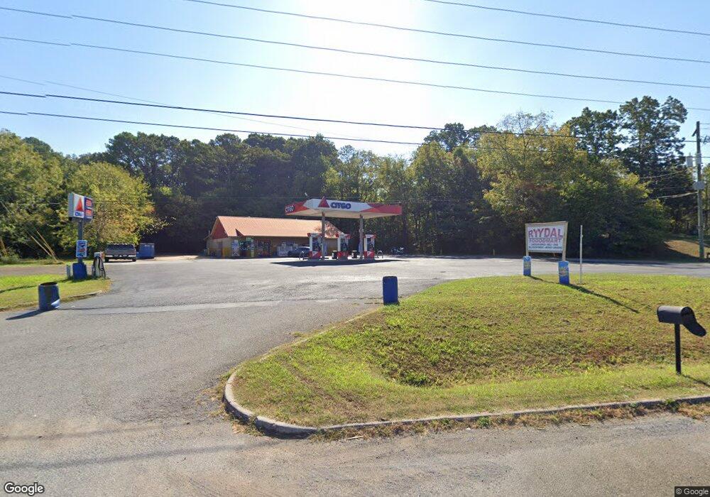
This home is located at 4010 Highway 411 NE, Rydal, GA 30171 and is currently estimated at $1,766,015, approximately $588 per square foot. 4010 Highway 411 NE is a home located in Bartow County with nearby schools including Pine Log Elementary School, Adairsville Middle School, and Adairsville High School.
Ownership History
Date
Name
Owned For
Owner Type
Purchase Details
Closed on
Jun 4, 2010
Sold by
Prem
Bought by
Lugmaan Inc
Current Estimated Value
Home Financials for this Owner
Home Financials are based on the most recent Mortgage that was taken out on this home.
Original Mortgage
$605,544
Interest Rate
4.97%
Mortgage Type
Commercial
Purchase Details
Closed on
Mar 13, 2007
Sold by
Kocer Abdul K
Bought by
Biddy Patricia M
Home Financials for this Owner
Home Financials are based on the most recent Mortgage that was taken out on this home.
Original Mortgage
$203,352
Interest Rate
6.16%
Mortgage Type
Commercial
Purchase Details
Closed on
Mar 5, 2007
Sold by
Biddy Patricia M
Bought by
Prem
Home Financials for this Owner
Home Financials are based on the most recent Mortgage that was taken out on this home.
Original Mortgage
$203,352
Interest Rate
6.16%
Mortgage Type
Commercial
Create a Home Valuation Report for This Property
The Home Valuation Report is an in-depth analysis detailing your home's value as well as a comparison with similar homes in the area
Home Values in the Area
Average Home Value in this Area
Purchase History
| Date | Buyer | Sale Price | Title Company |
|---|---|---|---|
| Lugmaan Inc | $650,000 | -- | |
| Biddy Patricia M | $250,000 | -- | |
| Prem | $471,625 | -- |
Source: Public Records
Mortgage History
| Date | Status | Borrower | Loan Amount |
|---|---|---|---|
| Closed | Lugmaan Inc | $605,544 | |
| Previous Owner | Biddy Patricia M | $203,352 | |
| Previous Owner | Prem | $647,809 |
Source: Public Records
Tax History Compared to Growth
Tax History
| Year | Tax Paid | Tax Assessment Tax Assessment Total Assessment is a certain percentage of the fair market value that is determined by local assessors to be the total taxable value of land and additions on the property. | Land | Improvement |
|---|---|---|---|---|
| 2024 | $5,133 | $211,229 | $104,000 | $107,229 |
| 2023 | $5,133 | $211,229 | $104,000 | $107,229 |
| 2022 | $3,940 | $155,182 | $78,000 | $77,182 |
| 2021 | $4,140 | $155,182 | $78,000 | $77,182 |
| 2020 | $4,263 | $155,182 | $78,000 | $77,182 |
| 2019 | $4,273 | $153,920 | $56,240 | $97,680 |
| 2018 | $4,288 | $153,920 | $56,240 | $97,680 |
| 2017 | $4,310 | $153,920 | $56,240 | $97,680 |
| 2016 | $4,342 | $153,920 | $56,240 | $97,680 |
| 2015 | $4,341 | $153,600 | $56,240 | $97,360 |
| 2014 | $2,823 | $96,760 | $31,240 | $65,520 |
| 2013 | -- | $96,760 | $31,240 | $65,520 |
Source: Public Records
Map
Nearby Homes
- 13 Four Feathers Ln NE
- 31 Thunderhawk Ln
- 36 Thunderhawk Ln NE
- 12 Thunder Hawk Ln NE
- 17 Kola Ln
- 23 Indian Hills Dr
- 22 Indian Hills Dr
- 0 Cherokee Hills Dr Unit 24143203
- 0 Cherokee Hills Dr Unit 24142886
- 0 Cherokee Hills Dr Unit 417259
- 0 Cherokee Hills Dr Unit 10563957
- 0 Cherokee Hills Dr Unit 10563881
- 0 Cherokee Hills Dr Unit 7586353
- 0 Cherokee Hills Dr Unit 24121872
- 0 Cherokee Hills Dr Unit 10562705
- 0 Cherokee Hills Dr Unit 129186
- 0 Cherokee Hills Dr Unit 7323862
- 00 Cherokee Hills Dr
- 000 Cherokee Hills Dr
- 64 N Village Cir
- 20 E Valley Rd NE
- 00 E Valley Rd NE
- 0 E Valley Rd NE
- 0 E Valley Rd NE Unit 7454823
- 0 E Valley Rd NE Unit 7454747
- 0 E Valley Rd NE Unit 7119514
- 0 E Valley Rd NE Unit 7041766
- 0 E Valley Rd NE Unit 7019495
- 0 E Valley Rd NE Unit 6871188
- 0 E Valley Rd NE Unit 3973664
- 0 E Valley Rd NE Unit 4260454
- 0 E Valley Rd NE Unit 5036374
- 0 E Valley Rd NE Unit 7036462
- 0 E Valley Rd NE Unit 7178390
- 0 E Valley Rd NE Unit 7279627
- 0 E Valley Rd NE Unit 7329245
- 0 E Valley Rd NE Unit 7430751
- 0 E Valley Rd NE Unit 7433100
- 0 E Valley Rd NE Unit 8310521
- 28 E Valley Rd NE