4010 Hillsdale Dr Unit 234 Auburn Hills, MI 48326
Estimated Value: $501,000 - $548,000
4
Beds
3
Baths
2,636
Sq Ft
$198/Sq Ft
Est. Value
About This Home
This home is located at 4010 Hillsdale Dr Unit 234, Auburn Hills, MI 48326 and is currently estimated at $521,172, approximately $197 per square foot. 4010 Hillsdale Dr Unit 234 is a home located in Oakland County with nearby schools including Rogers Elementary, Pontiac Middle School, and Pontiac High School.
Ownership History
Date
Name
Owned For
Owner Type
Purchase Details
Closed on
Feb 9, 2021
Sold by
Shane Paul and Bartman Lucia
Bought by
The Shane And Bartman Revocable Trust
Current Estimated Value
Purchase Details
Closed on
Sep 9, 2020
Sold by
Hill Kimberly Lynn and Murray Laura
Bought by
Shane Paul and Bartman Lucia
Purchase Details
Closed on
Nov 3, 2009
Sold by
Flaherty Thomas P and Flaherty Karen L
Bought by
Flaherty Thomas P and Flaherty Karen L
Purchase Details
Closed on
Mar 17, 2003
Sold by
Heritage Of Auburn Hills Llc
Bought by
Flaherty Thomas P and Flaherty Karen L
Create a Home Valuation Report for This Property
The Home Valuation Report is an in-depth analysis detailing your home's value as well as a comparison with similar homes in the area
Home Values in the Area
Average Home Value in this Area
Purchase History
| Date | Buyer | Sale Price | Title Company |
|---|---|---|---|
| The Shane And Bartman Revocable Trust | -- | None Available | |
| Shane Paul | $362,000 | None Available | |
| Flaherty Thomas P | -- | None Available | |
| Flaherty Thomas P | $344,675 | -- |
Source: Public Records
Tax History Compared to Growth
Tax History
| Year | Tax Paid | Tax Assessment Tax Assessment Total Assessment is a certain percentage of the fair market value that is determined by local assessors to be the total taxable value of land and additions on the property. | Land | Improvement |
|---|---|---|---|---|
| 2024 | $7,772 | $244,540 | $0 | $0 |
| 2023 | $7,409 | $214,090 | $0 | $0 |
| 2022 | $10,019 | $197,230 | $0 | $0 |
| 2021 | $10,396 | $202,560 | $0 | $0 |
| 2020 | $4,100 | $199,280 | $0 | $0 |
| 2019 | $5,486 | $196,600 | $0 | $0 |
| 2018 | $5,362 | $203,040 | $0 | $0 |
| 2017 | $3,030 | $174,260 | $0 | $0 |
| 2016 | $3,010 | $159,680 | $0 | $0 |
| 2015 | -- | $140,730 | $0 | $0 |
| 2014 | -- | $115,770 | $0 | $0 |
| 2011 | -- | $91,800 | $0 | $0 |
Source: Public Records
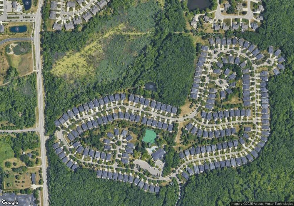
Map
Nearby Homes
- 4035 Hillsdale Dr Unit 275
- 3640 Camden Ct
- 3634 Camden Ct
- 3534 Riverside Dr Unit 141
- 3633 Thornwood Dr
- 3780 Bald Mountain Rd
- 3674 Merriweather Ln
- 3879 Teakwood Ln
- 3095 Bridgewater Rd Unit 30
- 3057 Bridgewater Rd
- 1906 Independence Ct
- 423 Silvervale Dr
- 3111 Ramzi Ln
- 5700 Rolling Hills Dr
- 3273 Salem Dr
- 3639 Heatherwood Ct
- 3101 Elstead St
- 2638 Patrick Henry Rd
- 1609 Kilburn Rd N
- 2530 Patrick Henry St
- 4012 Hillsdale Dr Unit 235
- 4008 Hillsdale Dr Unit 233
- 4014 Hillsdale Dr Unit 236
- 4006 Hillsdale Dr Unit 232
- 4004 Hillsdale Dr Unit 231
- 4016 Hillsdale Dr Unit Bldg-Unit
- 4016 Hillsdale Dr
- 4011 Hillsdale Dr Unit 263
- 4002 Hillsdale Dr Unit 230
- 4013 Hillsdale Dr
- 4007 Hillsdale Dr Unit 261
- 4015 Hillsdale Dr Unit 265
- 4018 Hillsdale Dr Unit 238
- 4017 Hillsdale Dr Unit 266
- 4005 Hillsdale Dr
- 4000 Hillsdale Dr
- 4019 Hillsdale Dr Unit 267
- 4020 Hillsdale Dr
- 4003 Hillsdale Dr
- 4001 Hillsdale Dr