4010 Rock Spring Rd Rootstown, OH 44272
Estimated Value: $226,000 - $287,000
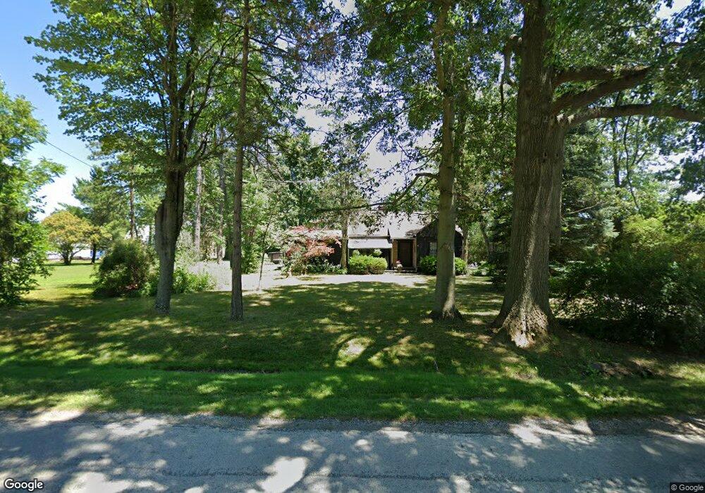
About This Home
This home is located at 4010 Rock Spring Rd, Rootstown, OH 44272 and is currently estimated at $266,421, approximately $111 per square foot. 4010 Rock Spring Rd is a home located in Portage County with nearby schools including Southeast High School.
Ownership History
We collect this data history from publicly available records. To have your information removed, we recommend requesting removal directly through your county’s website.
Purchase Details
Home Financials for this Owner
Home Financials are based on the most recent Mortgage that was taken out on this home.Purchase History
We collect this data history from publicly available records. To have your information removed, we recommend requesting removal directly through your county’s website.
| Date | Buyer | Sale Price | Title Company |
|---|---|---|---|
| -- | Service Link |
Mortgage History
We collect this data history from publicly available records. To have your information removed, we recommend requesting removal directly through your county’s website.
| Date | Status | Borrower | Loan Amount |
|---|---|---|---|
| Closed | $130,000 | ||
| Closed | $65,000 |
Tax History
We collect this data history from publicly available records. To have your information removed, we recommend requesting removal directly through your county’s website.
| Year | Tax Paid | Tax Assessment Tax Assessment Total Assessment is a certain percentage of the fair market value that is determined by local assessors to be the total taxable value of land and additions on the property. | Land | Improvement |
|---|---|---|---|---|
| 2025 | $2,911 | $78,650 | $5,080 | $73,570 |
| 2024 | $2,843 | $78,650 | $5,080 | $73,570 |
| 2023 | $1,979 | $48,970 | $4,380 | $44,590 |
| 2022 | $2,053 | $48,970 | $4,380 | $44,590 |
| 2021 | $2,070 | $48,970 | $4,380 | $44,590 |
| 2020 | $1,852 | $42,110 | $3,990 | $38,120 |
| 2019 | $1,857 | $42,110 | $3,990 | $38,120 |
| 2018 | $1,498 | $31,960 | $3,850 | $28,110 |
| 2017 | $1,498 | $31,960 | $3,850 | $28,110 |
| 2016 | $1,492 | $31,960 | $3,850 | $28,110 |
| 2015 | $1,429 | $31,960 | $3,850 | $28,110 |
| 2014 | $1,391 | $30,380 | $3,850 | $26,530 |
| 2013 | $1,355 | $30,380 | $3,850 | $26,530 |
Map
- 3798 State Route 183
- 3985 Porter Rd
- 3895 Stroup Rd
- 6279 Carlisle Way
- 7583 Yale Rd
- 5343 Tallmadge Rd
- 8464 & 8446 Tallmadge Rd
- 8492 & 8476 Tallmadge Rd
- 8466 Whipporwill Rd
- 2845 Industry Rd
- 5060 Campbellsport Rd
- 4225 Hattrick Rd
- 3966 Marsh Creek Ln Unit 2
- 2547 Industry Rd
- 0 State Route 14 Unit 5226600
- 0 Wayland Rd Unit 5227475
- 3192 New Milford Rd
- 5323 Hattrick Rd
- 6541 Newton Falls Rd
- 2434 Taft Ave
- 3948 State Route 14
- 4177 Ohio 14
- 4010 Rock Spring Rd
- 4013 Rock Spring Rd
- 9999 Wilkes Rd Unit 2
- 9999 Wilkes Rd Unit 3
- 9999 Wilkes Rd Unit lot 5
- 9999 Wilkes Rd Unit lot 2
- 4034 Rock Spring Rd
- 4027 Rock Spring Rd
- 4027 Rock Spring Rd
- 6886 Tallmadge Rd
- 3920 State Route 14
- 4037 Rock Spring Rd
- 0 St Rt 14 Unit 3419814
- 0 St Rt 14 Unit 1082967
- 0 St Rt 14 Unit 9087923
- 0 St Rt 14 Unit 9094588
- V/L R15 Ohio 14
- V/L R13 Ohio 14
Ask me questions while you tour the home.