40105 E Kelso Ln Marcola, OR 97454
Estimated Value: $567,000 - $805,000
4
Beds
3
Baths
2,080
Sq Ft
$331/Sq Ft
Est. Value
About This Home
This home is located at 40105 E Kelso Ln, Marcola, OR 97454 and is currently estimated at $688,883, approximately $331 per square foot. 40105 E Kelso Ln is a home with nearby schools including Marcola Elementary School and Mohawk High School.
Ownership History
Date
Name
Owned For
Owner Type
Purchase Details
Closed on
Oct 10, 2007
Sold by
Whiteman Lance A and Whiteman Wendy L
Bought by
Bigbee Robert and Bigbee Ruth
Current Estimated Value
Home Financials for this Owner
Home Financials are based on the most recent Mortgage that was taken out on this home.
Original Mortgage
$328,000
Interest Rate
6.4%
Mortgage Type
Construction
Purchase Details
Closed on
Dec 15, 2004
Sold by
Kelso Mary Jean and Kelso Byron Eugene
Bought by
Whiteman Lance A and Whiteman Wendy L
Create a Home Valuation Report for This Property
The Home Valuation Report is an in-depth analysis detailing your home's value as well as a comparison with similar homes in the area
Home Values in the Area
Average Home Value in this Area
Purchase History
| Date | Buyer | Sale Price | Title Company |
|---|---|---|---|
| Bigbee Robert | $143,000 | First American Title | |
| Whiteman Lance A | $180,000 | Evergreen Land Title Co |
Source: Public Records
Mortgage History
| Date | Status | Borrower | Loan Amount |
|---|---|---|---|
| Closed | Bigbee Robert | $328,000 |
Source: Public Records
Tax History Compared to Growth
Tax History
| Year | Tax Paid | Tax Assessment Tax Assessment Total Assessment is a certain percentage of the fair market value that is determined by local assessors to be the total taxable value of land and additions on the property. | Land | Improvement |
|---|---|---|---|---|
| 2025 | $4,554 | $369,492 | -- | -- |
| 2024 | $4,438 | $358,731 | -- | -- |
| 2023 | $4,438 | $348,283 | $0 | $0 |
| 2022 | $4,104 | $338,139 | $0 | $0 |
| 2021 | $4,011 | $328,291 | $0 | $0 |
| 2020 | $3,895 | $318,730 | $0 | $0 |
| 2019 | $3,557 | $291,889 | $0 | $0 |
| 2018 | $3,454 | $275,134 | $0 | $0 |
| 2017 | $3,195 | $275,134 | $0 | $0 |
| 2016 | $3,125 | $267,120 | $0 | $0 |
| 2015 | $3,069 | $259,340 | $0 | $0 |
| 2014 | $2,484 | $251,786 | $0 | $0 |
Source: Public Records
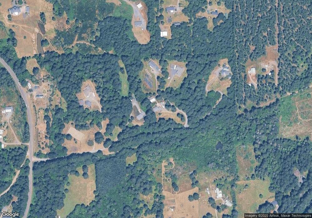
Map
Nearby Homes
- 95021 Bethany Ln
- 93933 Marcola Rd
- 0 Shotgun Creek Rd
- 93099 Marcola Rd
- 0 Wendling Rd
- 42664 Upper Calapooia (Nx2
- 42531 Upper Calapooia Dr
- 38216 Wendling Rd
- 38058 Railroad Ln
- 25606 Rice Rd
- 0 Boiler Creek Rd
- 42664 (Next to) Upper Calapooia Dr
- 40174 Highway 228
- 0 Cascade Woods Dr Unit 24194354
- 40080 Highway 228
- 92020 Maple Ln
- 40396 Oregon 228 Next To
- 0 Highway 228 (Lot Unit 3)
- 40384 Highway 228
- Lot 2 228 Hwy
- 40061 E Kelso Ln
- 40111 E Kelso Ln
- 40027 E Kelso Ln
- 40147 E Kelso Ln
- 40180 Log Creek Rd
- 94990 Thetford Ln
- 40129 Mohawk River Rd
- 40079 Mohawk River Rd
- 94929 Marcola Rd
- 40051 Mohawk River Rd
- 40229 Mohawk River Rd
- 40195 Mohawk River Rd
- 94880 Marcola Rd
- 39980 Log Creek Rd
- 40186 Mohawk River Rd
- - Mohawk River Rd (#3)
- - Mohawk River (#4) Rd
- 94784 Marcola Rd
- 40007 Mohawk River Rd
- 94854 Kelso Ln