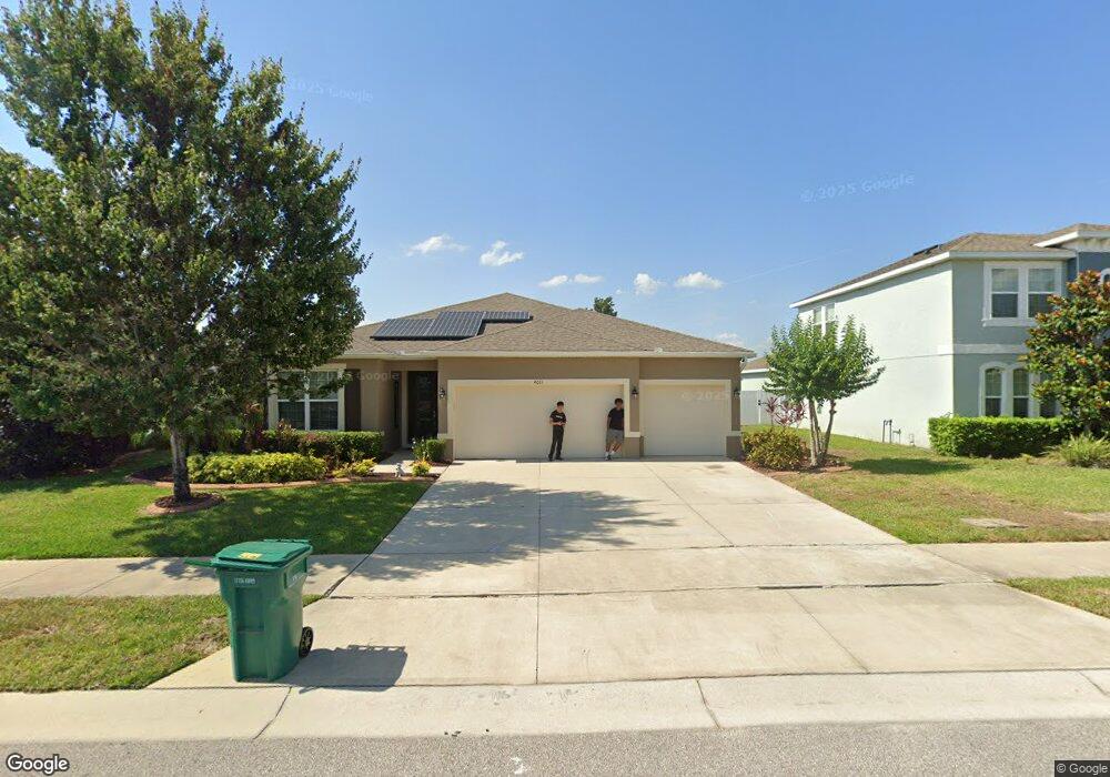
4011 Brookshire Cir Eustis, FL 32736
Estimated Value: $416,959 - $444,000
4
Beds
3
Baths
2,480
Sq Ft
$174/Sq Ft
Est. Value
About This Home
This home is located at 4011 Brookshire Cir, Eustis, FL 32736 and is currently estimated at $430,490, approximately $173 per square foot. 4011 Brookshire Cir is a home with nearby schools including Triangle Elementary School, Eustis Middle School, and Eustis High School.
Ownership History
Date
Name
Owned For
Owner Type
Purchase Details
Closed on
Jun 15, 2016
Sold by
D R Hoton Inc
Bought by
Robinson Fansico Junior and Robinson Maxine Leona
Current Estimated Value
Home Financials for this Owner
Home Financials are based on the most recent Mortgage that was taken out on this home.
Original Mortgage
$233,187
Outstanding Balance
$186,399
Interest Rate
3.87%
Mortgage Type
FHA
Estimated Equity
$244,091
Create a Home Valuation Report for This Property
The Home Valuation Report is an in-depth analysis detailing your home's value as well as a comparison with similar homes in the area
Home Values in the Area
Average Home Value in this Area
Purchase History
| Date | Buyer | Sale Price | Title Company |
|---|---|---|---|
| Robinson Fansico Junior | $237,490 | Dhi Title Of Florida Inc |
Source: Public Records
Mortgage History
| Date | Status | Borrower | Loan Amount |
|---|---|---|---|
| Open | Robinson Fansico Junior | $233,187 |
Source: Public Records
Tax History
| Year | Tax Paid | Tax Assessment Tax Assessment Total Assessment is a certain percentage of the fair market value that is determined by local assessors to be the total taxable value of land and additions on the property. | Land | Improvement |
|---|---|---|---|---|
| 2026 | $3,788 | $243,670 | -- | -- |
| 2025 | $3,624 | $237,040 | -- | -- |
| 2024 | $3,624 | $237,040 | -- | -- |
| 2023 | $3,624 | $223,440 | $0 | $0 |
| 2022 | $3,566 | $216,940 | $0 | $0 |
| 2021 | $3,429 | $210,622 | $0 | $0 |
| 2020 | $3,459 | $204,212 | $0 | $0 |
| 2019 | $3,412 | $199,621 | $0 | $0 |
| 2018 | $3,278 | $195,899 | $0 | $0 |
| 2017 | $3,752 | $217,280 | $0 | $0 |
| 2016 | $430 | $19,900 | $0 | $0 |
| 2015 | $399 | $17,940 | $0 | $0 |
| 2014 | $402 | $17,940 | $0 | $0 |
Source: Public Records
Map
Nearby Homes
- 4030 Brookshire Cir
- 19337 Spring Oak Dr
- 4058 Brookshire Cir
- 4040 Casterly Rock Ct
- 19146 Park Place Blvd
- 19655 Spring Oak Dr
- 19624 Spring Oak Dr
- 3964 Mayhill Loop
- 3984 Mayhill Loop
- 33943 E Lake Joanna Dr
- 201 W Blue Water Edge Dr
- 413 W Blue Water Edge Dr
- 425 W Blue Water Edge Dr
- 421 W Blue Water Edge Dr
- 535 Darshire Ave
- 519 W Blue Water Edge Dr
- 527 W Blue Water Edge Dr
- 512 Darshire Ave
- 4045 Serene Water Ave
- 4053 Serene Water Ave
- 4009 Brookshire Cir
- 4013 Brookshire Cir
- 4007 Brookshire Cir
- 4012 Brookshire Cir
- 4008 Brookshire Cir
- 4014 Brookshire Cir
- 4075 Brookshire Cir
- 4006 Brookshire Cir
- 4016 Brookshire Cir
- 4004 Brookshire Cir
- 4031 Brookshire Cir
- 4073 Brookshire Cir
- 4018 Blazewater Ct
- 4071 Brookshire Cir
- 4033 Brookshire Cir
- 19403 Spring Oak Dr
- 19351 Spring Oak Dr
- 4002 Brookshire Cir
- 19407 Spring Oak Dr
- 19345 Spring Oak Dr
Your Personal Tour Guide
Ask me questions while you tour the home.