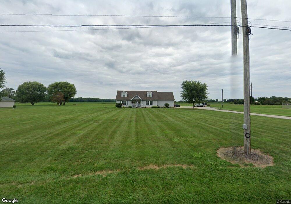
40114 Webster Rd Lagrange, OH 44050
Estimated Value: $365,000 - $398,000
4
Beds
4
Baths
2,100
Sq Ft
$181/Sq Ft
Est. Value
About This Home
This home is located at 40114 Webster Rd, Lagrange, OH 44050 and is currently estimated at $379,498, approximately $180 per square foot. 40114 Webster Rd is a home located in Lorain County with nearby schools including Keystone Elementary School, Keystone Middle School, and Keystone High School.
Ownership History
Date
Name
Owned For
Owner Type
Purchase Details
Closed on
Mar 22, 2011
Sold by
Harlan Dale and Harlan Joyce E
Bought by
Henthorn Kevin R and Barth Tina R
Current Estimated Value
Home Financials for this Owner
Home Financials are based on the most recent Mortgage that was taken out on this home.
Original Mortgage
$152,000
Outstanding Balance
$104,881
Interest Rate
4.88%
Mortgage Type
Purchase Money Mortgage
Estimated Equity
$274,617
Purchase Details
Closed on
Oct 19, 2005
Sold by
Harlan Dale and Harlan Joyce E
Bought by
Harlan Dale and Harlan Joyce E
Home Financials for this Owner
Home Financials are based on the most recent Mortgage that was taken out on this home.
Original Mortgage
$170,000
Interest Rate
5.82%
Mortgage Type
New Conventional
Purchase Details
Closed on
Oct 13, 2004
Sold by
Harlan Russell
Bought by
Harlan Dale
Create a Home Valuation Report for This Property
The Home Valuation Report is an in-depth analysis detailing your home's value as well as a comparison with similar homes in the area
Home Values in the Area
Average Home Value in this Area
Purchase History
| Date | Buyer | Sale Price | Title Company |
|---|---|---|---|
| Henthorn Kevin R | $190,000 | Lawyers Title Co | |
| Harlan Dale | -- | Lorain County Title Co Inc | |
| Harlan Dale | -- | -- |
Source: Public Records
Mortgage History
| Date | Status | Borrower | Loan Amount |
|---|---|---|---|
| Open | Henthorn Kevin R | $152,000 | |
| Previous Owner | Harlan Dale | $170,000 |
Source: Public Records
Tax History Compared to Growth
Tax History
| Year | Tax Paid | Tax Assessment Tax Assessment Total Assessment is a certain percentage of the fair market value that is determined by local assessors to be the total taxable value of land and additions on the property. | Land | Improvement |
|---|---|---|---|---|
| 2024 | $4,144 | $100,853 | $33,198 | $67,655 |
| 2023 | $4,047 | $82,460 | $28,690 | $53,771 |
| 2022 | $4,017 | $82,460 | $28,690 | $53,771 |
| 2021 | $4,018 | $82,460 | $28,690 | $53,770 |
| 2020 | $3,688 | $67,480 | $23,480 | $44,000 |
| 2019 | $3,665 | $67,480 | $23,480 | $44,000 |
| 2018 | $3,458 | $67,480 | $23,480 | $44,000 |
| 2017 | $3,341 | $59,040 | $21,720 | $37,320 |
| 2016 | $3,317 | $59,040 | $21,720 | $37,320 |
| 2015 | $3,311 | $59,040 | $21,720 | $37,320 |
| 2014 | $2,890 | $59,040 | $21,720 | $37,320 |
| 2013 | $2,800 | $59,040 | $21,720 | $37,320 |
Source: Public Records
Map
Nearby Homes
- 19045 Whitehead Rd
- 510 Arabian Ct
- 511 Arabian Ct
- 476 Stallion Ct
- 468 Stallion Ct
- 21690 State Route 301
- 110 Railroad St
- 0 Ohio 301
- 131 Walleye Ct
- 0 Dill Ct Unit 5072837
- 3531 Yost Rd
- 516 Appomattox Ct
- 43311 Peck Wadsworth Rd
- 607 Rundle St
- 548 William St
- 43401 Peck Wadsworth Rd
- 630 Rundle St
- 171 Keywood Blvd
- 405 U s Grant St
- 0 West Rd Unit 5125531
- 40134 Webster Rd
- 40072 Webster Rd
- 40172 Webster Rd
- 40204 Webster Rd
- 40036 Webster Rd
- 40230 Webster Rd
- 40002 Webster Rd
- 19382 Indian Hollow Rd
- 19456 Indian Hollow Rd
- 40330 Webster Rd
- 19505 Indian Hollow Rd
- 40430 Webster Rd
- 19555 Indian Hollow Rd
- 40522 Webster Rd
- 40500 Webster Rd
- 40552 Webster Rd
- 19788 Indian Hollow Rd
- 19315 Indian Hollow Rd
- 19800 Indian Hollow Rd
- 19211 Indian Hollow Rd