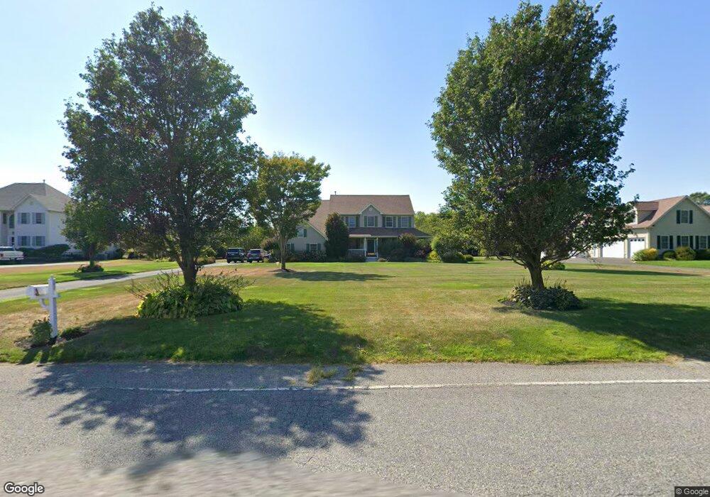
4012 Bayshore Rd Cape May, NJ 08204
Estimated Value: $1,268,000 - $1,641,000
--
Bed
--
Bath
3,342
Sq Ft
$430/Sq Ft
Est. Value
About This Home
This home is located at 4012 Bayshore Rd, Cape May, NJ 08204 and is currently estimated at $1,436,519, approximately $429 per square foot. 4012 Bayshore Rd is a home located in Cape May County with nearby schools including Carl T. Mitnick School, David C. Douglass Veterans Memorial School, and Maud Abrams School.
Ownership History
Date
Name
Owned For
Owner Type
Purchase Details
Closed on
Jun 15, 2004
Sold by
Lawrence A Pray Inc
Bought by
Passon Theodore J and Passon Virginia M
Current Estimated Value
Home Financials for this Owner
Home Financials are based on the most recent Mortgage that was taken out on this home.
Original Mortgage
$300,000
Outstanding Balance
$147,830
Interest Rate
6.12%
Mortgage Type
Unknown
Estimated Equity
$1,288,689
Create a Home Valuation Report for This Property
The Home Valuation Report is an in-depth analysis detailing your home's value as well as a comparison with similar homes in the area
Home Values in the Area
Average Home Value in this Area
Purchase History
| Date | Buyer | Sale Price | Title Company |
|---|---|---|---|
| Passon Theodore J | $549,900 | -- |
Source: Public Records
Mortgage History
| Date | Status | Borrower | Loan Amount |
|---|---|---|---|
| Open | Passon Theodore J | $300,000 | |
| Closed | Passon Theodore J | $140,000 |
Source: Public Records
Tax History Compared to Growth
Tax History
| Year | Tax Paid | Tax Assessment Tax Assessment Total Assessment is a certain percentage of the fair market value that is determined by local assessors to be the total taxable value of land and additions on the property. | Land | Improvement |
|---|---|---|---|---|
| 2025 | $12,103 | $609,100 | $225,800 | $383,300 |
| 2024 | $12,103 | $609,100 | $225,800 | $383,300 |
| 2023 | $11,926 | $609,100 | $225,800 | $383,300 |
| 2022 | $11,554 | $609,100 | $225,800 | $383,300 |
| 2021 | $11,201 | $609,100 | $225,800 | $383,300 |
| 2020 | $11,018 | $609,100 | $225,800 | $383,300 |
| 2019 | $10,738 | $609,100 | $225,800 | $383,300 |
| 2018 | $10,726 | $609,100 | $225,800 | $383,300 |
| 2017 | $10,738 | $609,100 | $225,800 | $383,300 |
| 2016 | $10,574 | $609,100 | $225,800 | $383,300 |
| 2015 | $10,233 | $609,100 | $225,800 | $383,300 |
| 2014 | $9,898 | $609,100 | $225,800 | $383,300 |
Source: Public Records
Map
Nearby Homes
- 3 Hannah Dr
- 1023 Shunpike Rd
- 3941 Bayshore Rd
- 59 Westwood Dr
- 3911 Bayshore Rd
- 1036 Seashore Rd
- 1031 Seashore Rd
- 1062 Seashore Rd
- 1083 Seashore Rd
- 123 Stimpson Ln
- 712 Gorham Ave
- 306 Sixth Ave
- 602 Gorham Ave
- 717 Third Ave
- 313 Nantucket Dr
- 401 Fourth Ave
- 818 Shunpike Rd
- 405 4th Ave
- 712 Indian Ave
- 111 Leaming Ave
- 4014 Bayshore Rd
- 4010 Bayshore Rd
- 4008 Bayshore Rd
- 4 Linda Sue Ln
- 4035 Bayshore Rd
- 6 Linda Sue Ln
- 4039 Bayshore Rd
- 4006 Bayshore Rd
- 8 Linda Sue Ln
- 3 Linda Sue Ln
- 5 Linda Sue Ln
- 5 Linda Sue Ln Unit CAPE MAY ESTATES
- 10 Linda Sue Ln
- 7 Linda Sue Ln
- 4049 Bayshore Rd
- 4005 Bayshore Rd
- 4002 Bayshore Rd
- 4044 Bayshore Rd
- 9 Linda Sue Ln
- 598 New England Rd