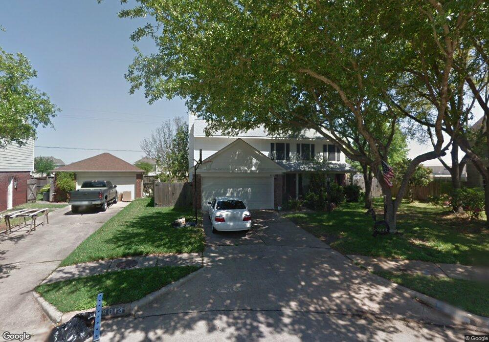
4013 Ashwood Dr Pearland, TX 77584
Estimated Value: $321,000 - $364,000
--
Bed
3
Baths
2,256
Sq Ft
$152/Sq Ft
Est. Value
About This Home
This home is located at 4013 Ashwood Dr, Pearland, TX 77584 and is currently estimated at $342,501, approximately $151 per square foot. 4013 Ashwood Dr is a home located in Brazoria County with nearby schools including Magnolia Elementary School, Pearland Junior High School South, and Sam Jamison Middle School.
Ownership History
Date
Name
Owned For
Owner Type
Purchase Details
Closed on
Aug 20, 1999
Sold by
Nelson Michael Scott and Nelson Betty Jo
Bought by
Lloyd Matthew Allen and Lloyd Wendy Elaine
Current Estimated Value
Home Financials for this Owner
Home Financials are based on the most recent Mortgage that was taken out on this home.
Original Mortgage
$118,750
Outstanding Balance
$34,205
Interest Rate
7.68%
Estimated Equity
$308,296
Purchase Details
Closed on
Dec 15, 1994
Sold by
Spencer Troy R and Spencer Cindy L
Bought by
Nelson Michael Scott and Nelson Betty Jo
Home Financials for this Owner
Home Financials are based on the most recent Mortgage that was taken out on this home.
Original Mortgage
$93,100
Interest Rate
8.12%
Create a Home Valuation Report for This Property
The Home Valuation Report is an in-depth analysis detailing your home's value as well as a comparison with similar homes in the area
Home Values in the Area
Average Home Value in this Area
Purchase History
| Date | Buyer | Sale Price | Title Company |
|---|---|---|---|
| Lloyd Matthew Allen | -- | -- | |
| Nelson Michael Scott | -- | -- |
Source: Public Records
Mortgage History
| Date | Status | Borrower | Loan Amount |
|---|---|---|---|
| Open | Lloyd Matthew Allen | $118,750 | |
| Previous Owner | Nelson Michael Scott | $93,100 |
Source: Public Records
Tax History Compared to Growth
Tax History
| Year | Tax Paid | Tax Assessment Tax Assessment Total Assessment is a certain percentage of the fair market value that is determined by local assessors to be the total taxable value of land and additions on the property. | Land | Improvement |
|---|---|---|---|---|
| 2025 | $5,353 | $310,850 | $27,180 | $283,670 |
| 2023 | $5,353 | $285,757 | $27,180 | $269,990 |
| 2022 | $6,249 | $259,779 | $25,090 | $240,610 |
| 2021 | $6,080 | $235,990 | $25,090 | $210,900 |
| 2020 | $5,965 | $234,000 | $20,910 | $213,090 |
| 2019 | $5,424 | $201,000 | $20,910 | $180,090 |
| 2018 | $4,917 | $183,000 | $20,910 | $162,090 |
| 2017 | $4,882 | $180,800 | $20,910 | $159,890 |
| 2016 | $4,536 | $168,000 | $20,910 | $147,090 |
| 2014 | $3,798 | $152,650 | $20,910 | $131,740 |
Source: Public Records
Map
Nearby Homes
- 4015 Cedarwood Dr
- 3804 Parry Fields Ct
- 3806 Canterbury Park Dr
- 3705 Canterbury Park Dr
- 3703 Canterbury Park Dr
- 3910 Greenwood Dr
- 4013 Ivywood Dr
- 4806 Chaperel Dr
- 3911 Spring Garden Dr
- 16622 Mclean Rd
- 5101 Big Spring Dr
- 3509 Pentland Downs St
- 16719 Mclean Rd
- 7206 Williams Rd
- 5205 Spring Branch Dr
- 3307 Norma Ln
- 7223 Libby Ln
- 7225 Libby Ln
- 4967 Millican Dr
- 4004 Green Anjou Ln
- 4014 Ashwood Dr
- 4012 Ashwood Dr
- 4016 Ashwood Dr
- 4013 Beechwood Dr
- 4015 Ashwood Dr
- 4009 Beechwood Dr
- 4015 Beechwood Dr
- 4011 Ashwood Dr
- 4008 Ashwood Dr
- 4009 Ashwood Dr
- 4007 Beechwood Dr
- 4014 Beechwood Dr
- 4012 Beechwood Dr
- 4010 Beechwood Dr
- 4007 Ashwood Dr
- 4006 Ashwood Dr
- 4005 Beechwood Dr
- 4013 Cedarwood Dr
- 4008 Beechwood Dr
- 4005 Ashwood Dr