Estimated Value: $261,000 - $285,000
2
Beds
2
Baths
1,435
Sq Ft
$193/Sq Ft
Est. Value
About This Home
This home is located at 4013 Brookshore Dr, Lima, OH 45801 and is currently estimated at $277,163, approximately $193 per square foot. 4013 Brookshore Dr is a home located in Allen County with nearby schools including Bath Elementary School, Bath Middle School, and Bath High School.
Ownership History
Date
Name
Owned For
Owner Type
Purchase Details
Closed on
Aug 19, 2022
Sold by
Benedetto Group Llc
Bought by
Moore Roger L
Current Estimated Value
Purchase Details
Closed on
Dec 28, 2005
Sold by
Duhl David A and Duhl Lisa A
Bought by
Benedetto Group Llc
Purchase Details
Closed on
Feb 16, 2005
Sold by
R J Stone Development Group Inc
Bought by
Duhl David A and Duhl Lisa A
Home Financials for this Owner
Home Financials are based on the most recent Mortgage that was taken out on this home.
Original Mortgage
$120,000
Interest Rate
5.25%
Mortgage Type
Adjustable Rate Mortgage/ARM
Create a Home Valuation Report for This Property
The Home Valuation Report is an in-depth analysis detailing your home's value as well as a comparison with similar homes in the area
Purchase History
| Date | Buyer | Sale Price | Title Company |
|---|---|---|---|
| Moore Roger L | $250,100 | Pedlow Edward B | |
| Benedetto Group Llc | -- | None Available | |
| Duhl David A | $120,000 | None Available |
Source: Public Records
Mortgage History
| Date | Status | Borrower | Loan Amount |
|---|---|---|---|
| Previous Owner | Duhl David A | $120,000 |
Source: Public Records
Tax History
| Year | Tax Paid | Tax Assessment Tax Assessment Total Assessment is a certain percentage of the fair market value that is determined by local assessors to be the total taxable value of land and additions on the property. | Land | Improvement |
|---|---|---|---|---|
| 2024 | $3,559 | $81,830 | $14,630 | $67,200 |
| 2023 | $2,522 | $56,420 | $10,080 | $46,340 |
| 2022 | $2,617 | $56,420 | $10,080 | $46,340 |
| 2021 | $2,632 | $56,420 | $10,080 | $46,340 |
| 2020 | $2,563 | $50,160 | $10,080 | $40,080 |
| 2019 | $2,563 | $50,160 | $10,080 | $40,080 |
| 2018 | $2,501 | $50,160 | $10,080 | $40,080 |
| 2017 | $2,418 | $48,230 | $10,080 | $38,150 |
| 2016 | $2,386 | $48,230 | $10,080 | $38,150 |
| 2015 | $2,512 | $48,230 | $10,080 | $38,150 |
| 2014 | $2,512 | $48,790 | $10,080 | $38,710 |
| 2013 | $2,517 | $48,790 | $10,080 | $38,710 |
Source: Public Records
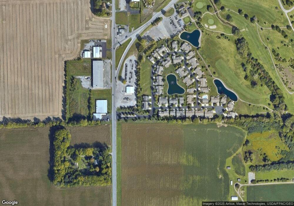
Map
Nearby Homes
- 4387 N West St
- 3270 Bonnieview Dr
- 0 Thorndyke Dr
- 3137 Thorndyke Dr
- 0 Fraunfelter Unit 307817
- 0 N Eastown Rd Unit 1034495
- 520 Kenmore St
- 475 Kenmore St
- 2718 Carolyn Dr
- 2630 Carolyn Dr
- 2371 Mandolin Dr
- 1014 Brower Rd
- 2300 Mandolin Dr
- 1705 Karen St
- 1743 Sherry Lee Dr
- 207 W Lane Ave
- 1317 Virginia Ave
- 1889 N Metcalf St
- 1435 N Central Ave
- 2113 Kimberly Dr
- 4007 Brookshore Dr
- 4019 Brookshore Dr
- 294 Brookview Ct Unit 29
- 298 Brookview Ct
- 299 Brookview Ct
- 4032 Brookshore Dr
- 4036 Brookshore Dr Unit 35
- 273 Brookview Ct Unit 38
- 258 Brookview Ct
- 258 Brookview Ct Unit 2
- 4042 Brookshore Dr
- 251 Brookview Ct
- 220 Brookview Ct
- 4056 Brookshore Dr
- 4067 Brookshore Dr
- 209 Brookview Ct
- 213 Brookview Ct
Your Personal Tour Guide
Ask me questions while you tour the home.