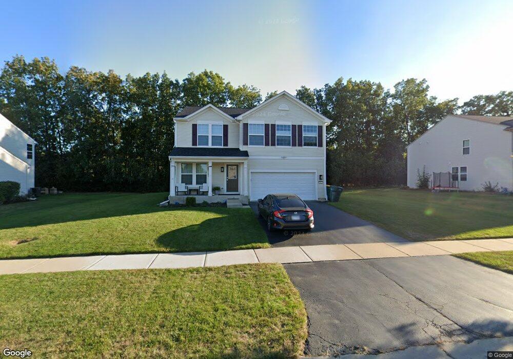
4013 Cypress Dr Zion, IL 60099
West Zion NeighborhoodEstimated Value: $353,955 - $376,000
3
Beds
3
Baths
2,362
Sq Ft
$156/Sq Ft
Est. Value
About This Home
This home is located at 4013 Cypress Dr, Zion, IL 60099 and is currently estimated at $368,989, approximately $156 per square foot. 4013 Cypress Dr is a home located in Lake County with nearby schools including Kenneth Murphy School, Beach Park Middle School, and Zion-Benton Township High School.
Ownership History
Date
Name
Owned For
Owner Type
Purchase Details
Closed on
Apr 14, 2010
Sold by
Pulte Home Corporation
Bought by
Serkanic Craig L and Serkanic Abisac F
Current Estimated Value
Home Financials for this Owner
Home Financials are based on the most recent Mortgage that was taken out on this home.
Original Mortgage
$206,011
Outstanding Balance
$138,024
Interest Rate
5.12%
Mortgage Type
FHA
Estimated Equity
$230,965
Create a Home Valuation Report for This Property
The Home Valuation Report is an in-depth analysis detailing your home's value as well as a comparison with similar homes in the area
Home Values in the Area
Average Home Value in this Area
Purchase History
| Date | Buyer | Sale Price | Title Company |
|---|---|---|---|
| Serkanic Craig L | $210,000 | None Available |
Source: Public Records
Mortgage History
| Date | Status | Borrower | Loan Amount |
|---|---|---|---|
| Open | Serkanic Craig L | $206,011 |
Source: Public Records
Tax History Compared to Growth
Tax History
| Year | Tax Paid | Tax Assessment Tax Assessment Total Assessment is a certain percentage of the fair market value that is determined by local assessors to be the total taxable value of land and additions on the property. | Land | Improvement |
|---|---|---|---|---|
| 2024 | $9,662 | $93,794 | $15,506 | $78,288 |
| 2023 | $9,606 | $83,625 | $13,825 | $69,800 |
| 2022 | $9,606 | $79,625 | $12,379 | $67,246 |
| 2021 | $9,471 | $74,696 | $11,613 | $63,083 |
| 2020 | $9,136 | $70,256 | $10,923 | $59,333 |
| 2019 | $8,888 | $65,446 | $10,175 | $55,271 |
| 2018 | $8,702 | $63,569 | $10,412 | $53,157 |
| 2017 | $8,539 | $58,970 | $9,659 | $49,311 |
| 2016 | $7,924 | $53,531 | $8,768 | $44,763 |
| 2015 | $7,614 | $48,572 | $7,956 | $40,616 |
| 2014 | $6,219 | $41,717 | $7,353 | $34,364 |
| 2012 | $6,846 | $44,427 | $7,831 | $36,596 |
Source: Public Records
Map
Nearby Homes
- 2413 Michael Ave
- 2414 Phillip Dr
- 2407 Miriam Ave
- 2407 Phillip Dr
- 12976 W 28th Place
- 42334 N Heritage Lot 7 Trail
- 3404 Sarah Dr
- 39520 N Green Bay Rd
- 13051 Bucksburn Ct
- 0 26th St
- 2031 Dawn Ln
- 39401 N Green Bay Rd
- 3007 30th St
- 2822 26th St
- 1916 Sunshine Ct
- 2313 Joppa Ave
- 2305 Joppa Ave
- 39787 Torry Ln
- 13129 W Shannon Dr
- 2509 Jethro Ave
- 4011 Cypress Dr
- 4015 Cypress Dr
- 4009 Cypress Dr
- 4018 Cypress Dr
- 4016 Cypress Dr
- 12322 W Hickory Ln
- 4101 Cypress Dr
- 4014 Cypress Dr
- 12350 W Hickory Ln
- 4114 Credence Dr
- 4100 Cypress Dr
- 4007 Cypress Dr
- 4012 Cypress Dr
- 4102 Cypress Dr
- 4113 Credence Dr
- 4103 Cypress Dr
- 12304 W Hickory Ln
- 4101 Grace Ave
- 4005 Cypress Dr
- 4010 Cypress Dr