4013 Hillsdale Dr Auburn Hills, MI 48326
Estimated Value: $461,000 - $505,000
3
Beds
3
Baths
1,800
Sq Ft
$270/Sq Ft
Est. Value
About This Home
This home is located at 4013 Hillsdale Dr, Auburn Hills, MI 48326 and is currently estimated at $485,759, approximately $269 per square foot. 4013 Hillsdale Dr is a home located in Oakland County with nearby schools including Rogers Elementary, Pontiac Middle School, and Pontiac High School.
Ownership History
Date
Name
Owned For
Owner Type
Purchase Details
Closed on
Jul 29, 2014
Sold by
Kaczmarek Elizabeth L
Bought by
Kaczmarek Elizabeth L and Elizabeth L Kaczmarek Revocable Trust
Current Estimated Value
Purchase Details
Closed on
Mar 26, 2002
Sold by
Heritage Of Auburn Hills
Bought by
Kaczmarek Elizabeth L
Home Financials for this Owner
Home Financials are based on the most recent Mortgage that was taken out on this home.
Original Mortgage
$50,000
Interest Rate
6.87%
Create a Home Valuation Report for This Property
The Home Valuation Report is an in-depth analysis detailing your home's value as well as a comparison with similar homes in the area
Home Values in the Area
Average Home Value in this Area
Purchase History
| Date | Buyer | Sale Price | Title Company |
|---|---|---|---|
| Kaczmarek Elizabeth L | -- | None Available | |
| Kaczmarek Elizabeth L | $290,589 | -- |
Source: Public Records
Mortgage History
| Date | Status | Borrower | Loan Amount |
|---|---|---|---|
| Previous Owner | Kaczmarek Elizabeth L | $50,000 |
Source: Public Records
Tax History Compared to Growth
Tax History
| Year | Tax Paid | Tax Assessment Tax Assessment Total Assessment is a certain percentage of the fair market value that is determined by local assessors to be the total taxable value of land and additions on the property. | Land | Improvement |
|---|---|---|---|---|
| 2024 | $2,113 | $212,250 | $0 | $0 |
| 2023 | $2,016 | $186,990 | $0 | $0 |
| 2022 | $3,561 | $169,780 | $0 | $0 |
| 2021 | $3,503 | $166,760 | $0 | $0 |
| 2020 | $1,898 | $162,970 | $0 | $0 |
| 2019 | $3,215 | $160,870 | $0 | $0 |
| 2018 | $3,144 | $165,740 | $0 | $0 |
| 2017 | $2,780 | $152,840 | $0 | $0 |
| 2016 | $2,761 | $140,710 | $0 | $0 |
| 2015 | -- | $124,740 | $0 | $0 |
| 2014 | -- | $102,830 | $0 | $0 |
| 2011 | -- | $88,530 | $0 | $0 |
Source: Public Records
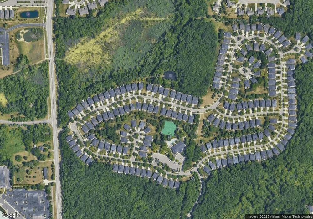
Map
Nearby Homes
- 4035 Hillsdale Dr Unit 275
- 3640 Camden Ct
- 3634 Camden Ct
- 3534 Riverside Dr Unit 141
- 3633 Thornwood Dr
- 3780 Bald Mountain Rd
- 3674 Merriweather Ln
- 3879 Teakwood Ln
- 3095 Bridgewater Rd Unit 30
- 3057 Bridgewater Rd
- 1906 Independence Ct
- 423 Silvervale Dr
- 3111 Ramzi Ln
- 5700 Rolling Hills Dr
- 3273 Salem Dr
- 3639 Heatherwood Ct
- 3101 Elstead St
- 2638 Patrick Henry Rd
- 1609 Kilburn Rd N
- 2530 Patrick Henry St
- 4015 Hillsdale Dr Unit 265
- 4011 Hillsdale Dr Unit 263
- 4017 Hillsdale Dr Unit 266
- 3829 Springwood Ct
- 4019 Hillsdale Dr Unit 267
- 3831 Springwood Ct Unit 79
- 4007 Hillsdale Dr Unit 261
- 4021 Hillsdale Dr
- 3827 Springwood Ct
- 4012 Hillsdale Dr Unit 235
- 4005 Hillsdale Dr
- 4010 Hillsdale Dr Unit 234
- 4014 Hillsdale Dr Unit 236
- 3833 Springwood Ct Unit 78
- 4016 Hillsdale Dr Unit Bldg-Unit
- 4016 Hillsdale Dr
- 4008 Hillsdale Dr Unit 233
- 4023 Hillsdale Dr Unit 269
- 4006 Hillsdale Dr Unit 232
- 4003 Hillsdale Dr