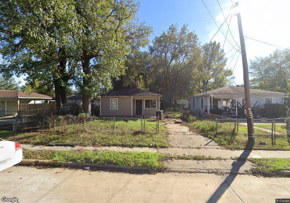
4013 Powell St Shreveport, LA 71109
Mooretown and Hollywood Heights NeighborhoodEstimated Value: $41,000 - $64,000
3
Beds
1
Bath
839
Sq Ft
$59/Sq Ft
Est. Value
About This Home
This home is located at 4013 Powell St, Shreveport, LA 71109 and is currently estimated at $49,455, approximately $58 per square foot. 4013 Powell St is a home located in Caddo Parish with nearby schools including Oak Park Elementary School, Judson Fundamental Elementary School, and Fairfield Magnet School.
Ownership History
Date
Name
Owned For
Owner Type
Purchase Details
Closed on
Mar 25, 2008
Sold by
Stringer Henderson Napoleon and Stringer Henderson Mary
Bought by
Abercrumbia Jackson Kazevian Montyous and Abercrumbia Jackson Shonda
Current Estimated Value
Home Financials for this Owner
Home Financials are based on the most recent Mortgage that was taken out on this home.
Original Mortgage
$22,200
Interest Rate
5.72%
Mortgage Type
Unknown
Create a Home Valuation Report for This Property
The Home Valuation Report is an in-depth analysis detailing your home's value as well as a comparison with similar homes in the area
Home Values in the Area
Average Home Value in this Area
Purchase History
| Date | Buyer | Sale Price | Title Company |
|---|---|---|---|
| Abercrumbia Jackson Kazevian Montyous | $20,000 | None Available |
Source: Public Records
Mortgage History
| Date | Status | Borrower | Loan Amount |
|---|---|---|---|
| Closed | Abercrumbia Jackson Kazevian Montyous | $22,200 |
Source: Public Records
Tax History Compared to Growth
Tax History
| Year | Tax Paid | Tax Assessment Tax Assessment Total Assessment is a certain percentage of the fair market value that is determined by local assessors to be the total taxable value of land and additions on the property. | Land | Improvement |
|---|---|---|---|---|
| 2024 | $398 | $2,555 | $589 | $1,966 |
| 2023 | $403 | $2,527 | $561 | $1,966 |
| 2022 | $403 | $2,527 | $561 | $1,966 |
| 2021 | $397 | $2,527 | $561 | $1,966 |
| 2020 | $397 | $2,527 | $561 | $1,966 |
| 2019 | $409 | $2,526 | $561 | $1,965 |
| 2018 | $325 | $2,526 | $561 | $1,965 |
| 2017 | $415 | $2,526 | $561 | $1,965 |
| 2015 | $364 | $2,810 | $560 | $2,250 |
| 2014 | $367 | $2,810 | $560 | $2,250 |
| 2013 | -- | $2,810 | $560 | $2,250 |
Source: Public Records
Map
Nearby Homes
- 4136 Mayfield St
- 4130 Mayfield St
- 4138 Powell St
- 0 Miles St
- 3924 Miles St
- 3922 Miles St
- 4122 Carver St
- 3 Broadway Ave
- 2 Broadway Ave
- 1 Broadway Ave
- 4210 Via St
- 4135 Forest Oak Dr
- 3610 Sanders St
- 5717 Fallowmont St
- 6208 Jewella Ave
- 3735 Tate St
- 4302 Illinois Ave
- 5600 Norton St
- 3540 Pleasant Dr
- 5222 Broadway Ave
- 4011 Powell St
- 4015 Powell St
- 6205 Rufus Dr
- 4004 Powell St
- 4008 Powell St
- 4016 Powell St
- 6209 Rufus Dr
- 4022 Powell St
- 6212 Kelly Key St
- 4028 Powell St
- 4028 Powell St
- 6214 Kelly Key St
- 4035 Powell St
- 4030 Powell St
- 6208 Rufus Dr
- 3938 Powell St
- 4011 Mayfield St
- 4032 Powell St
- 4032 Powell St
- 4032 Powell St