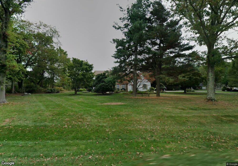
4013 Smoke Rd Doylestown, PA 18902
Estimated Value: $841,000 - $1,090,000
4
Beds
4
Baths
3,467
Sq Ft
$284/Sq Ft
Est. Value
About This Home
This home is located at 4013 Smoke Rd, Doylestown, PA 18902 and is currently estimated at $983,678, approximately $283 per square foot. 4013 Smoke Rd is a home located in Bucks County with nearby schools including Linden El School, Holicong Middle School, and Central Bucks High School - East.
Ownership History
Date
Name
Owned For
Owner Type
Purchase Details
Closed on
Dec 18, 2002
Sold by
Strom Gregg A and Strom Carol R
Bought by
Perlstein Paul M and Perlstein Iris
Current Estimated Value
Purchase Details
Closed on
Jun 21, 1994
Sold by
Macikanycz Terrence
Bought by
Strom Gregg A and Strom Carol R
Home Financials for this Owner
Home Financials are based on the most recent Mortgage that was taken out on this home.
Original Mortgage
$160,000
Interest Rate
8.74%
Create a Home Valuation Report for This Property
The Home Valuation Report is an in-depth analysis detailing your home's value as well as a comparison with similar homes in the area
Home Values in the Area
Average Home Value in this Area
Purchase History
| Date | Buyer | Sale Price | Title Company |
|---|---|---|---|
| Perlstein Paul M | $495,000 | -- | |
| Strom Gregg A | $336,000 | -- |
Source: Public Records
Mortgage History
| Date | Status | Borrower | Loan Amount |
|---|---|---|---|
| Previous Owner | Strom Gregg A | $160,000 |
Source: Public Records
Tax History
| Year | Tax Paid | Tax Assessment Tax Assessment Total Assessment is a certain percentage of the fair market value that is determined by local assessors to be the total taxable value of land and additions on the property. | Land | Improvement |
|---|---|---|---|---|
| 2025 | $8,590 | $52,760 | $10,200 | $42,560 |
| 2024 | $8,590 | $52,760 | $10,200 | $42,560 |
| 2023 | $8,299 | $52,760 | $10,200 | $42,560 |
| 2022 | $8,199 | $52,760 | $10,200 | $42,560 |
| 2021 | $8,101 | $52,760 | $10,200 | $42,560 |
| 2020 | $8,101 | $52,760 | $10,200 | $42,560 |
| 2019 | $8,049 | $52,760 | $10,200 | $42,560 |
| 2018 | $8,049 | $52,760 | $10,200 | $42,560 |
| 2017 | $7,983 | $52,760 | $10,200 | $42,560 |
| 2016 | $8,062 | $52,760 | $10,200 | $42,560 |
| 2015 | -- | $52,760 | $10,200 | $42,560 |
| 2014 | -- | $52,760 | $10,200 | $42,560 |
Source: Public Records
Map
Nearby Homes
- 3795 Route 202
- 3775 Buckingham Dr
- 607 S Chubb Dr
- 2980 Yorkshire Rd
- 45 Creek Dr
- 34 Houk Rd
- 2918 Snake Hill Rd
- 3889 Robin Rd
- 3689 Hancock Ln
- 3960 S Mallard Ln
- 45 Springs Dr
- 4533 Deep Creek Way
- 000 Cherry Ln
- 146 E Court St
- 150 Selner Ln
- 150 Watercrest Dr
- 2798 Forge Place
- 223 Cherry Ln
- 3039 Durham Rd
- 169 N Main St
- 4001 Smoke Rd
- 4009 Smoke Rd
- 4026 Smoke Rd
- 4005 Smoke Rd
- 3511 Buttonwood Dr
- 3965 Smoke Rd
- 3529 Buttonwood Dr
- 3510 Buttonwood Dr
- 3961 Smoke Rd
- 3957 Smoke Rd
- 3528 Buttonwood Dr
- 3549 Buttonwood Dr
- 3450 Church School Rd
- 3548 Buttonwood Dr
- 3561 Windridge Dr
- 3551 Windridge Dr
- 3571 Windridge Dr
- 3513 Concord Rd
- 3563 Buttonwood Dr
- 3541 Windridge Dr
Your Personal Tour Guide
Ask me questions while you tour the home.