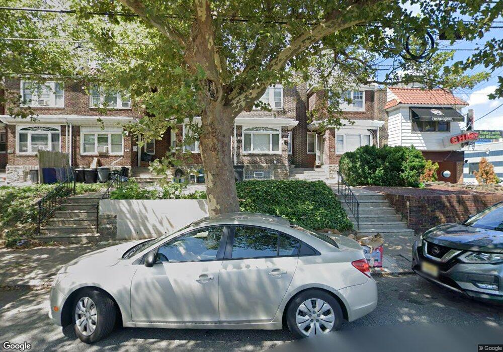
4014 Robbins Ave Philadelphia, PA 19135
Wissinoming NeighborhoodEstimated Value: $191,000 - $225,074
3
Beds
1
Bath
1,418
Sq Ft
$147/Sq Ft
Est. Value
About This Home
This home is located at 4014 Robbins Ave, Philadelphia, PA 19135 and is currently estimated at $208,019, approximately $146 per square foot. 4014 Robbins Ave is a home located in Philadelphia County with nearby schools including Lincoln High School, Ethan Allen School, and Keystone Academy Charter School.
Ownership History
Date
Name
Owned For
Owner Type
Purchase Details
Closed on
May 11, 2007
Sold by
Schok James P and Estate Of James Jakubiak
Bought by
Santiago Lyizabeth and Felix Anastacio
Current Estimated Value
Home Financials for this Owner
Home Financials are based on the most recent Mortgage that was taken out on this home.
Original Mortgage
$110,000
Outstanding Balance
$88,912
Interest Rate
6.27%
Mortgage Type
Purchase Money Mortgage
Estimated Equity
$119,107
Create a Home Valuation Report for This Property
The Home Valuation Report is an in-depth analysis detailing your home's value as well as a comparison with similar homes in the area
Home Values in the Area
Average Home Value in this Area
Purchase History
| Date | Buyer | Sale Price | Title Company |
|---|---|---|---|
| Santiago Lyizabeth | $110,000 | None Available |
Source: Public Records
Mortgage History
| Date | Status | Borrower | Loan Amount |
|---|---|---|---|
| Open | Santiago Lyizabeth | $110,000 |
Source: Public Records
Tax History Compared to Growth
Tax History
| Year | Tax Paid | Tax Assessment Tax Assessment Total Assessment is a certain percentage of the fair market value that is determined by local assessors to be the total taxable value of land and additions on the property. | Land | Improvement |
|---|---|---|---|---|
| 2025 | $2,367 | $211,400 | $42,280 | $169,120 |
| 2024 | $2,367 | $211,400 | $42,280 | $169,120 |
| 2023 | $2,367 | $169,100 | $33,820 | $135,280 |
| 2022 | $1,069 | $124,100 | $33,820 | $90,280 |
| 2021 | $1,699 | $0 | $0 | $0 |
| 2020 | $1,699 | $0 | $0 | $0 |
| 2019 | $1,631 | $0 | $0 | $0 |
| 2018 | $1,615 | $0 | $0 | $0 |
| 2017 | $1,615 | $0 | $0 | $0 |
| 2016 | $1,615 | $0 | $0 | $0 |
| 2015 | $1,546 | $0 | $0 | $0 |
| 2014 | -- | $115,400 | $24,570 | $90,830 |
| 2012 | -- | $12,384 | $1,265 | $11,119 |
Source: Public Records
Map
Nearby Homes
- 6219 Mulberry St
- 6241 Frankford Ave
- 6239 Frankford Ave
- 4116 Stirling St
- 3134 Stirling St
- 4154 Robbins St
- 6164 Tackawanna St
- 3148 Barnett St
- 3153 Barnett St
- 6151 Tackawanna St
- 6143 Hawthorne St
- 6243 Montague St
- 4623 Hawthorne St
- 4141 Levick St
- 4056 Benner St
- 6325 Walker St
- 4314 Devereaux St
- 6341 Walker St
- 2940 Devereaux Ave
- 3118 Hellerman St
- 4012 Robbins Ave
- 4016 Robbins Ave
- 4018 Robbins Ave
- 4020 Robbins Ave
- 4022 Robbins Ave
- 6263 Mulberry St
- 4024 Robbins Ave
- 6261 Mulberry St
- 4026 Robbins Ave
- 6259 Mulberry St
- 4026 Robbins St
- 4028 Robbins Ave
- 6257 Mulberry St
- 4030 Robbins Ave
- 6255 Mulberry St
- 6262 Charles St
- 6253 Mulberry St
- 6260 Charles St
- 6258 Charles St
- 6251 Mulberry St