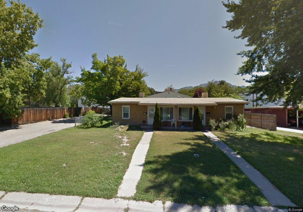
4015 S 565 E Unit 4019 Salt Lake City, UT 84107
Estimated Value: $552,400 - $668,000
4
Beds
2
Baths
1,600
Sq Ft
$379/Sq Ft
Est. Value
About This Home
This home is located at 4015 S 565 E Unit 4019, Salt Lake City, UT 84107 and is currently estimated at $606,100, approximately $378 per square foot. 4015 S 565 E Unit 4019 is a home located in Salt Lake County with nearby schools including James E Moss Elementary School, Bonneville Junior High School, and Cottonwood High School.
Ownership History
Date
Name
Owned For
Owner Type
Purchase Details
Closed on
Jan 31, 2019
Sold by
Richins Rita Y
Bought by
Richins Rita Y and The Rita Y Richins Trust
Current Estimated Value
Purchase Details
Closed on
Dec 6, 2018
Sold by
Richins Rita Y
Bought by
Richins Rita Y
Purchase Details
Closed on
Apr 15, 1996
Sold by
Marcelis Michelle R
Bought by
Powell John R and Powell Helen M
Create a Home Valuation Report for This Property
The Home Valuation Report is an in-depth analysis detailing your home's value as well as a comparison with similar homes in the area
Home Values in the Area
Average Home Value in this Area
Purchase History
| Date | Buyer | Sale Price | Title Company |
|---|---|---|---|
| Richins Rita Y | -- | None Available | |
| Richins Rita Y | -- | Paramount Title | |
| Powell John R | -- | -- |
Source: Public Records
Tax History Compared to Growth
Tax History
| Year | Tax Paid | Tax Assessment Tax Assessment Total Assessment is a certain percentage of the fair market value that is determined by local assessors to be the total taxable value of land and additions on the property. | Land | Improvement |
|---|---|---|---|---|
| 2025 | $2,732 | $481,500 | $179,300 | $302,200 |
| 2024 | $2,732 | $425,400 | $169,700 | $255,700 |
| 2023 | $2,630 | $395,100 | $163,200 | $231,900 |
| 2022 | $2,642 | $399,600 | $160,000 | $239,600 |
| 2021 | $2,458 | $322,300 | $123,200 | $199,100 |
| 2020 | $2,385 | $295,700 | $110,000 | $185,700 |
| 2019 | $2,320 | $280,800 | $102,800 | $178,000 |
| 2018 | $2,122 | $247,200 | $102,800 | $144,400 |
| 2017 | $2,025 | $246,900 | $102,800 | $144,100 |
| 2016 | $1,830 | $225,700 | $86,400 | $139,300 |
| 2015 | $1,424 | $164,300 | $84,700 | $79,600 |
| 2014 | $1,361 | $153,700 | $82,900 | $70,800 |
Source: Public Records
Map
Nearby Homes
- 582 E 4010 S
- 584 E 3990 S
- 607 E 4030 S
- 635 E 4025 S Unit C
- 3981 S 500 E
- 657 E 4065 S Unit C
- 665 E 4025 S Unit H
- 4040 S 685 E Unit F
- 4040 S 685 E Unit F
- 568 E Dolores Cove Unit 4
- 592 E Betsey Cove Unit 16
- 594 E Betsey Cove Unit 17
- 599 E Betsey Cove Unit 23
- 3812 S 500 E
- 3859 S Mitchell Cove Unit 203
- 689 E 4149 S
- 769 E 4070 S
- 779 E 4070 S
- 4178 S 650 E
- 3938 S 805 E Unit A
- 4025 Delno Cir
- 586 E 4010 S Unit 63
- 4025 S 565 E
- 585 E 4010 S
- 589 E 4010 S
- 594 E 4010 S
- 4014 S 565 E
- 588 E 3990 S
- 601 E 4010 S
- 592 E 3990 S Unit 82
- 596 E 3990 S
- 556 Delno Dr
- 600 E 3990 S
- 556 E Delno Dr
- 4026 S 565 E Unit 4028
- 3989 S 565 E
- 602 E 4010 S Unit 59
- 602 E 4010 S Unit 15
- 602 E 4010 S Unit 56
- 608 E 3990 S Unit 78H