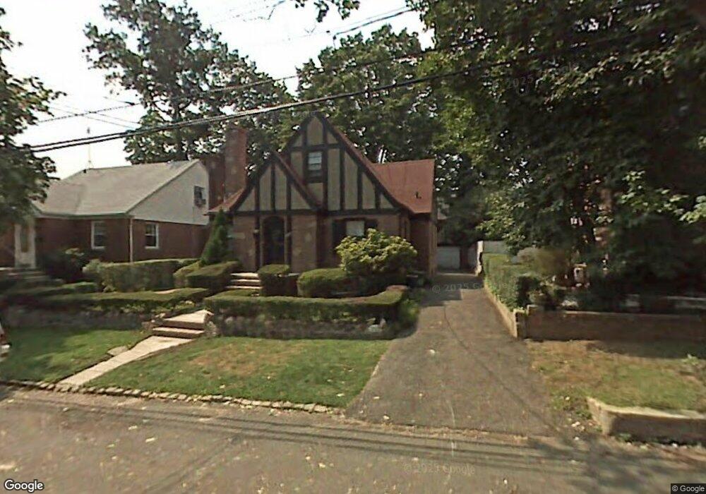
4017 Bell Ave Bronx, NY 10466
Edenwald NeighborhoodEstimated Value: $605,000 - $854,824
4
Beds
2
Baths
1,559
Sq Ft
$458/Sq Ft
Est. Value
About This Home
This home is located at 4017 Bell Ave, Bronx, NY 10466 and is currently estimated at $714,206, approximately $458 per square foot. 4017 Bell Ave is a home located in Bronx County with nearby schools including P.S. 68 - Bronx, One World Middle School At Edenwald, and Baychester Middle School.
Ownership History
Date
Name
Owned For
Owner Type
Purchase Details
Closed on
Jul 21, 2011
Sold by
Arthur J Harris Jr As Administrator
Bought by
Comrie Christopher and Reid Shernitt L
Current Estimated Value
Home Financials for this Owner
Home Financials are based on the most recent Mortgage that was taken out on this home.
Original Mortgage
$236,845
Outstanding Balance
$162,942
Interest Rate
4.51%
Mortgage Type
Purchase Money Mortgage
Estimated Equity
$551,264
Create a Home Valuation Report for This Property
The Home Valuation Report is an in-depth analysis detailing your home's value as well as a comparison with similar homes in the area
Home Values in the Area
Average Home Value in this Area
Purchase History
| Date | Buyer | Sale Price | Title Company |
|---|---|---|---|
| Comrie Christopher | $335,000 | -- |
Source: Public Records
Mortgage History
| Date | Status | Borrower | Loan Amount |
|---|---|---|---|
| Open | Comrie Christopher | $236,845 |
Source: Public Records
Tax History
| Year | Tax Paid | Tax Assessment Tax Assessment Total Assessment is a certain percentage of the fair market value that is determined by local assessors to be the total taxable value of land and additions on the property. | Land | Improvement |
|---|---|---|---|---|
| 2025 | $7,291 | $36,562 | $11,309 | $25,253 |
| 2024 | $7,291 | $36,302 | $11,874 | $24,428 |
| 2023 | $7,084 | $34,881 | $13,277 | $21,604 |
| 2022 | $6,569 | $42,120 | $16,740 | $25,380 |
| 2021 | $6,533 | $40,920 | $16,740 | $24,180 |
| 2020 | $6,449 | $36,840 | $16,740 | $20,100 |
| 2019 | $6,328 | $33,540 | $16,740 | $16,800 |
| 2018 | $5,978 | $29,327 | $12,492 | $16,835 |
| 2017 | $5,640 | $27,667 | $16,672 | $10,995 |
| 2016 | $4,822 | $24,120 | $16,740 | $7,380 |
| 2015 | $2,649 | $23,640 | $16,740 | $6,900 |
| 2014 | $2,649 | $23,460 | $16,740 | $6,720 |
Source: Public Records
Map
Nearby Homes
- 4040 Pratt Ave
- 3968 Duryea Ave
- 3964 Duryea Ave
- 2181 Strang Ave
- 3963 Duryea Ave
- 4048 Harper Ave
- 29 Bell Ave
- 75 W Kingsbridge Rd
- 3924 Duryea Ave
- 3919 Pratt Ave
- 1461 E 233rd St
- 3946 Secor Ave
- 138 W Kingsbridge Rd
- 42 Wildwood Ave
- 4073 Monticello Ave
- 149 W Kingsbridge Rd
- 62 Washington Blvd
- 724 S 4th Ave
- 4058 Murdock Ave
- 2110 Light St
- 4025 Bell Ave
- 4013 Bell Ave
- 4033 Bell Ave
- 4020 Duryea Ave
- 4014 Duryea Ave
- 4010 Duryea Ave
- 4022 Duryea Ave
- 4012 Bell Ave
- 2215 Strang Ave
- 2217 Strang Ave Unit 2219
- 2217-2219 Strang Ave
- 4014 Bell Ave
- 2211 Strang Ave
- 2209 Strang Ave
- 4018 Bell Ave
- 4026 Duryea Ave
- 2207 Strang Ave
- 4026 Bell Ave
- 2225 Strang Ave
- 4041 Bell Ave
Your Personal Tour Guide
Ask me questions while you tour the home.