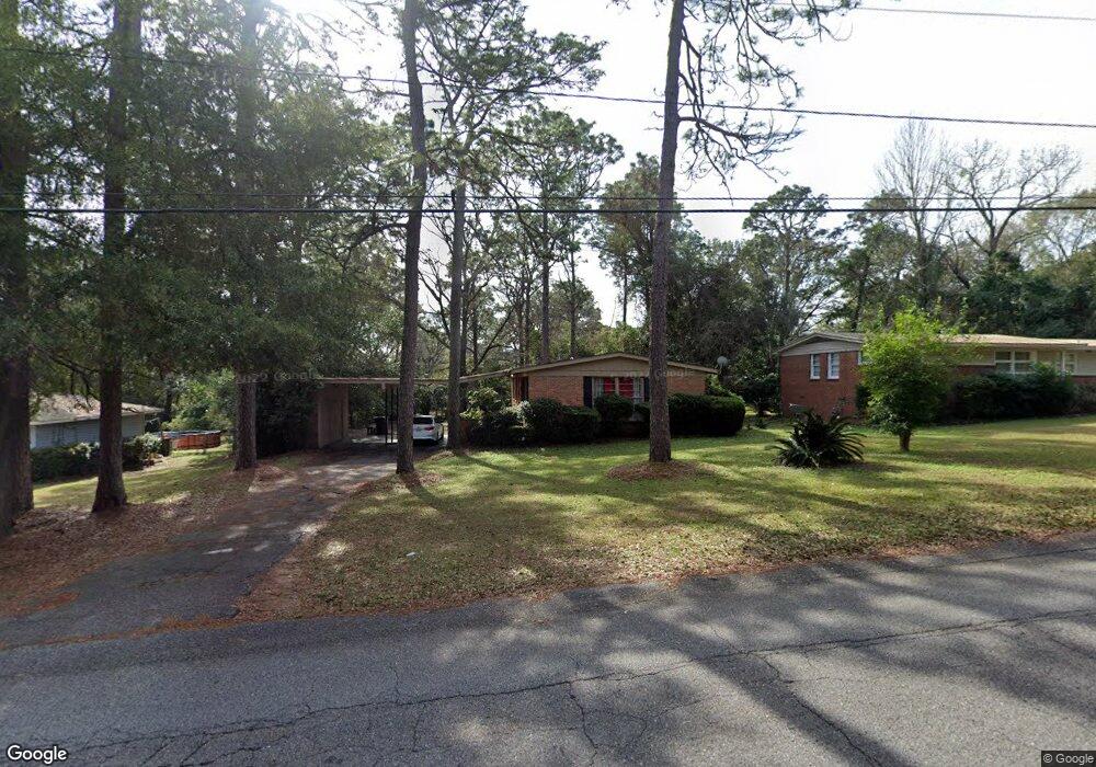
4017 Michael Blvd Mobile, AL 36609
Jackson Heights NeighborhoodEstimated Value: $144,130 - $2,133,000
3
Beds
2
Baths
1,404
Sq Ft
$464/Sq Ft
Est. Value
About This Home
This home is located at 4017 Michael Blvd, Mobile, AL 36609 and is currently estimated at $650,783, approximately $463 per square foot. 4017 Michael Blvd is a home located in Mobile County with nearby schools including Elizabeth Fonde Elementary School, Chastang-Fournier K-8 School, and WP Davidson High School.
Ownership History
Date
Name
Owned For
Owner Type
Purchase Details
Closed on
Jan 6, 2026
Sold by
Tanner Andrew R and Tanner Nancy N
Bought by
Butler Group 4 Llc
Current Estimated Value
Home Financials for this Owner
Home Financials are based on the most recent Mortgage that was taken out on this home.
Original Mortgage
$165,000
Outstanding Balance
$163,670
Interest Rate
6.23%
Mortgage Type
Seller Take Back
Estimated Equity
$487,113
Purchase Details
Closed on
Nov 9, 2007
Sold by
Cummings Mary B
Bought by
Tanner Andrew R and Tanner Nancy N
Purchase Details
Closed on
Oct 27, 2006
Sold by
Brown Carol B
Bought by
Brown Carol B and Carol B Brown Living Trust
Create a Home Valuation Report for This Property
The Home Valuation Report is an in-depth analysis detailing your home's value as well as a comparison with similar homes in the area
Home Values in the Area
Average Home Value in this Area
Purchase History
| Date | Buyer | Sale Price | Title Company |
|---|---|---|---|
| Butler Group 4 Llc | $2,198,100 | None Listed On Document | |
| Tanner Andrew R | $122,000 | None Available | |
| Brown Carol B | -- | None Available |
Source: Public Records
Mortgage History
| Date | Status | Borrower | Loan Amount |
|---|---|---|---|
| Open | Butler Group 4 Llc | $165,000 |
Source: Public Records
Tax History
| Year | Tax Paid | Tax Assessment Tax Assessment Total Assessment is a certain percentage of the fair market value that is determined by local assessors to be the total taxable value of land and additions on the property. | Land | Improvement |
|---|---|---|---|---|
| 2025 | $1,578 | $25,020 | $5,600 | $19,420 |
| 2024 | $1,578 | $23,100 | $5,600 | $17,500 |
| 2023 | $1,506 | $23,720 | $5,600 | $18,120 |
| 2022 | $1,384 | $21,800 | $6,000 | $15,800 |
| 2021 | $1,229 | $19,360 | $5,000 | $14,360 |
| 2020 | $1,229 | $19,360 | $5,000 | $14,360 |
| 2019 | $1,186 | $18,680 | $5,000 | $13,680 |
| 2018 | $1,186 | $18,680 | $0 | $0 |
| 2017 | $1,179 | $18,560 | $0 | $0 |
| 2016 | $1,205 | $18,980 | $0 | $0 |
| 2013 | $1,252 | $17,420 | $0 | $0 |
Source: Public Records
Map
Nearby Homes
- 4003 Michael Blvd
- 407 Laborde Dr
- 4055 Westmoreland Dr S
- 306 Thornton Place
- 421 Mcqueen Ave
- 728 Spring Station Rd
- 308 Mcqueen Ave
- 4059 Airport Blvd
- 4108 Woodsbury Ct
- 4115 Springdale Rd
- 812 Downtowner Loop W
- 603 Thornton Place
- 254 Jackson Blvd
- 4131 Springdale Rd
- 4365 Downtowner Loop S
- 4357 Downtowner Loop S
- 0 Bellevue Ln
- 3983 Wimbledon Park
- 4153 Yorkshire Ln
- 3953 Wimbledon Park
- 4019 Michael Blvd
- 4015 Michael Blvd
- 4021 Michael Blvd
- 4013 Michael Blvd
- 326 Bomar Place
- 4006 Bourgeois Dr
- 4010 Bourgeois Dr
- 4014 Bourgeois Dr
- 4023 Michael Blvd
- 4011 Michael Blvd
- 325 Bomar Place
- 320 Bomar Place
- 360 Bourgeois Cir
- 362 Bourgeois Cir
- 4100 Bourgeois Dr
- 321 Dawn Place
- 364 Bourgeois Cir
- 4025 Michael Blvd
- 4009 Michael Blvd
- 316 Bomar Place
Your Personal Tour Guide
Ask me questions while you tour the home.