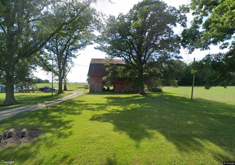
4017 State Route 235 Custar, OH 43511
Estimated Value: $137,711 - $183,000
3
Beds
1
Bath
1,752
Sq Ft
$90/Sq Ft
Est. Value
About This Home
This home is located at 4017 State Route 235, Custar, OH 43511 and is currently estimated at $158,178, approximately $90 per square foot. 4017 State Route 235 is a home located in Wood County with nearby schools including McComb Elementary School, McComb Middle School, and Mccomb Local High School.
Ownership History
Date
Name
Owned For
Owner Type
Purchase Details
Closed on
Aug 8, 2003
Sold by
Dillon Nancy J and Dillon Joseph L
Bought by
Markle Henry and Markle Ladonna J
Current Estimated Value
Home Financials for this Owner
Home Financials are based on the most recent Mortgage that was taken out on this home.
Original Mortgage
$68,000
Outstanding Balance
$28,357
Interest Rate
5.47%
Mortgage Type
Purchase Money Mortgage
Estimated Equity
$129,821
Create a Home Valuation Report for This Property
The Home Valuation Report is an in-depth analysis detailing your home's value as well as a comparison with similar homes in the area
Purchase History
| Date | Buyer | Sale Price | Title Company |
|---|---|---|---|
| Markle Henry | $85,000 | -- |
Source: Public Records
Mortgage History
| Date | Status | Borrower | Loan Amount |
|---|---|---|---|
| Open | Markle Henry | $68,000 |
Source: Public Records
Tax History
| Year | Tax Paid | Tax Assessment Tax Assessment Total Assessment is a certain percentage of the fair market value that is determined by local assessors to be the total taxable value of land and additions on the property. | Land | Improvement |
|---|---|---|---|---|
| 2025 | $867 | $36,400 | $9,660 | $26,740 |
| 2024 | $897 | $36,400 | $9,660 | $26,740 |
| 2023 | $897 | $36,400 | $9,660 | $26,740 |
| 2021 | $791 | $28,850 | $7,810 | $21,040 |
| 2020 | $798 | $28,850 | $7,810 | $21,040 |
| 2019 | $706 | $26,740 | $7,630 | $19,110 |
| 2018 | $687 | $26,740 | $7,630 | $19,110 |
| 2017 | $477 | $26,740 | $7,630 | $19,110 |
| 2016 | $598 | $25,770 | $5,850 | $19,920 |
| 2015 | $598 | $25,770 | $5,850 | $19,920 |
| 2014 | $966 | $25,770 | $5,850 | $19,920 |
| 2013 | $977 | $23,520 | $5,320 | $18,200 |
Source: Public Records
Map
Nearby Homes
- 2970 Otsego Pike
- 0 Hockenberry Rd Unit 10
- 0 Deshler Rd Unit 309-2100
- 24642 Hammansburg Rd Unit 309-0700
- 4134 County Road 203
- 0 Oil Center Rd
- 508 W Walnut St
- 524 E Elm St
- 22759 Defiance Pike
- 424 E Main St
- 1128 County Road 139
- 122 W Broadway St
- 524 N Keyser Ave
- 405 N Keyser Ave
- 407 S Stearns Ave
- 423 S Stearns Ave
- 429 N Park St
- 117 Meadow Ln
- 115 Meadow Ln
- 113 N Meadow Ln
Your Personal Tour Guide
Ask me questions while you tour the home.