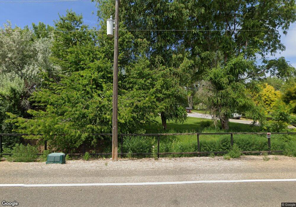
Estimated Value: $549,000 - $595,000
3
Beds
1
Bath
1,520
Sq Ft
$377/Sq Ft
Est. Value
About This Home
This home is located at 4019 S Powerline Rd, Nampa, ID 83686 and is currently estimated at $573,290, approximately $377 per square foot. 4019 S Powerline Rd is a home located in Canyon County with nearby schools including Lake Ridge Elementary School, South Middle School, and Skyview High School.
Ownership History
Date
Name
Owned For
Owner Type
Purchase Details
Closed on
Apr 13, 2004
Sold by
Upadhaya Praveen and Upadhaya Teresa
Bought by
Upadhaya Praveen and Upadhaya Teresa
Current Estimated Value
Home Financials for this Owner
Home Financials are based on the most recent Mortgage that was taken out on this home.
Original Mortgage
$144,400
Interest Rate
5.57%
Mortgage Type
Stand Alone Refi Refinance Of Original Loan
Create a Home Valuation Report for This Property
The Home Valuation Report is an in-depth analysis detailing your home's value as well as a comparison with similar homes in the area
Home Values in the Area
Average Home Value in this Area
Purchase History
| Date | Buyer | Sale Price | Title Company |
|---|---|---|---|
| Upadhaya Praveen | -- | Pioneer Title Company Of Can |
Source: Public Records
Mortgage History
| Date | Status | Borrower | Loan Amount |
|---|---|---|---|
| Closed | Upadhaya Praveen | $144,400 |
Source: Public Records
Tax History Compared to Growth
Tax History
| Year | Tax Paid | Tax Assessment Tax Assessment Total Assessment is a certain percentage of the fair market value that is determined by local assessors to be the total taxable value of land and additions on the property. | Land | Improvement |
|---|---|---|---|---|
| 2025 | $1,539 | $536,290 | $229,090 | $307,200 |
| 2024 | $1,539 | $536,190 | $229,090 | $307,100 |
| 2023 | $1,563 | $546,190 | $229,090 | $317,100 |
| 2022 | $2,497 | $569,160 | $256,260 | $312,900 |
| 2021 | $1,929 | $380,290 | $114,790 | $265,500 |
| 2020 | $1,938 | $307,880 | $95,880 | $212,000 |
| 2019 | $2,029 | $286,880 | $75,880 | $211,000 |
| 2018 | $1,898 | $0 | $0 | $0 |
| 2017 | $1,648 | $0 | $0 | $0 |
| 2016 | $1,450 | $0 | $0 | $0 |
| 2015 | $1,354 | $0 | $0 | $0 |
| 2014 | $1,263 | $185,720 | $40,320 | $145,400 |
Source: Public Records
Map
Nearby Homes
- 4213 Jessie Ln
- 1515 Primrose Dr
- 820 E Locust Ln
- 1026 Huntington Ct
- 1509 Andover Ct
- 3827 Skyline Dr
- Jade Plan at Stoddard Crossing
- Amethyst Plan at Stoddard Crossing
- Evergreen Plan at Stoddard Crossing
- Crestwood Plan at Stoddard Crossing
- The Brooke Plan at Stoddard Crossing
- Spruce Plan at Stoddard Crossing
- Ashton Plan at Stoddard Crossing
- Everest Plan at Stoddard Crossing
- Agate Plan at Stoddard Crossing
- Cypress Plan at Stoddard Crossing
- Yosemite Plan at Stoddard Crossing
- Alturas Plan at Stoddard Crossing
- Birch Plan at Stoddard Crossing
- Topaz Plan at Stoddard Crossing
- 4125 S Powerline Rd
- 4124 Pleasant View Dr
- 4219 S
- 4219 S Powerline Rd
- 4116 Pleasant View Dr
- 4101 S Powerline Rd
- 4220 Pleasant View Dr
- 4208 Pleasant View Dr
- 0 Sahara Dr
- 1407 E Locust Ln
- 4200 Pleasant View Dr
- 1301 E Locust Ln
- 1315 E Locust Ln
- 4110 Pleasant View Dr
- 4100 Pleasant View Dr
- 1/1 Serengeti Cir
- 1303 E Locust Ln
- 4006 Pleasant View Dr
- TBD Pleasant View Dr
- 4309 Serengeti Cir
