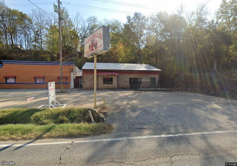
402 & 444 N Parrott Dr Huntsville, AR 72740
--
Bed
--
Bath
8,700
Sq Ft
0.8
Acres
About This Home
This home is located at 402 & 444 N Parrott Dr, Huntsville, AR 72740. 402 & 444 N Parrott Dr is a home located in Madison County.
Ownership History
Date
Name
Owned For
Owner Type
Purchase Details
Closed on
May 17, 2006
Sold by
Madison County Investments Llc
Bought by
La Hacienda Llc
Home Financials for this Owner
Home Financials are based on the most recent Mortgage that was taken out on this home.
Original Mortgage
$180,000
Interest Rate
6.4%
Mortgage Type
Future Advance Clause Open End Mortgage
Purchase Details
Closed on
Jan 1, 1997
Bought by
Mitchell Oil Co Inc
Create a Home Valuation Report for This Property
The Home Valuation Report is an in-depth analysis detailing your home's value as well as a comparison with similar homes in the area
Home Values in the Area
Average Home Value in this Area
Purchase History
| Date | Buyer | Sale Price | Title Company |
|---|---|---|---|
| La Hacienda Llc | $160,000 | -- | |
| Mitchell Oil Co Inc | -- | -- |
Source: Public Records
Mortgage History
| Date | Status | Borrower | Loan Amount |
|---|---|---|---|
| Closed | La Hacienda Llc | $180,000 |
Source: Public Records
Tax History Compared to Growth
Tax History
| Year | Tax Paid | Tax Assessment Tax Assessment Total Assessment is a certain percentage of the fair market value that is determined by local assessors to be the total taxable value of land and additions on the property. | Land | Improvement |
|---|---|---|---|---|
| 2024 | $2,457 | $65,380 | $6,640 | $58,740 |
| 2023 | $2,234 | $45,580 | $6,640 | $38,940 |
| 2022 | $2,210 | $45,580 | $6,640 | $38,940 |
| 2021 | $2,026 | $45,580 | $6,640 | $38,940 |
| 2020 | $1,841 | $37,570 | $5,310 | $32,260 |
| 2019 | $1,841 | $37,570 | $5,310 | $32,260 |
| 2018 | $1,695 | $37,570 | $5,310 | $32,260 |
| 2017 | $1,694 | $37,570 | $5,310 | $32,260 |
| 2016 | $1,937 | $42,930 | $5,310 | $37,620 |
| 2015 | $1,940 | $43,000 | $6,640 | $36,360 |
| 2014 | -- | $42,530 | $6,640 | $35,890 |
| 2013 | -- | $42,530 | $6,640 | $35,890 |
Source: Public Records
Map
Nearby Homes
- 0 Jenee Dr
- 205 Cherry Ln
- 306 N College St
- 103 War Eagle Ave
- 0 Tbd 5551 Unit 1306152
- 0 Tbd 5551 Unit 1306149
- 108 Cedar Heights
- 305 Hawkins Ave
- 113 Cedar Heights
- 902 Acorn St
- 141 Hawn Ave
- 207 Tonya Loop
- 181 Tonya Loop
- 601 S Parrott Dr
- 311 Madison St
- 0 Madison St
- TBD 5551 Madison St
- TBD Madison St
- 613 N Gaskill St
- 707 S Parrott Dr
- 402 N Parrott Dr
- 343 S Parrott Dr
- 561 N Parrott Dr
- 307 Warren Ave
- 312 Hall Ln
- 300 N Parrott Dr
- 301 Warren Ave
- 226 N Parrott Dr
- 209 Warren Ave
- 304 Warren Ave
- 0 Warren Ave
- 602 Labarge St
- 701 Dogwood St
- 502 Missouri Place
- 204 N Parrott Dr
- 700 N Dogwood St
- 402 Missouri Place
- 504 Missouri Place
- 506 Missouri Place
- 700 Dogwood St