402 Amaranth Rd Johns Island, SC 29455
Estimated Value: $1,704,000 - $1,952,000
3
Beds
3
Baths
1,812
Sq Ft
$985/Sq Ft
Est. Value
About This Home
This home is located at 402 Amaranth Rd, Johns Island, SC 29455 and is currently estimated at $1,784,212, approximately $984 per square foot. 402 Amaranth Rd is a home located in Charleston County with nearby schools including Mt. Zion Elementary School, Haut Gap Middle School, and St. Johns High School.
Ownership History
Date
Name
Owned For
Owner Type
Purchase Details
Closed on
Jul 9, 2013
Sold by
Smith Sean C
Bought by
Parker Frederick M and Parker Barbara A
Current Estimated Value
Home Financials for this Owner
Home Financials are based on the most recent Mortgage that was taken out on this home.
Original Mortgage
$417,000
Outstanding Balance
$304,244
Interest Rate
4%
Mortgage Type
Future Advance Clause Open End Mortgage
Estimated Equity
$1,479,968
Purchase Details
Closed on
Mar 9, 2006
Sold by
Langhoff Alison C
Bought by
Smith Sean C and The Sean C Smith Living Trust
Purchase Details
Closed on
Oct 28, 2002
Sold by
Bryson B B and Bryson Basford B
Bought by
Langhoff Alison C
Purchase Details
Closed on
Jun 12, 2000
Sold by
Jackson Kimberly K
Bought by
Mazzola Carl A and Mazzola Kathleen S
Create a Home Valuation Report for This Property
The Home Valuation Report is an in-depth analysis detailing your home's value as well as a comparison with similar homes in the area
Home Values in the Area
Average Home Value in this Area
Purchase History
| Date | Buyer | Sale Price | Title Company |
|---|---|---|---|
| Parker Frederick M | $772,500 | -- | |
| Smith Sean C | $993,333 | None Available | |
| Langhoff Alison C | $545,000 | -- | |
| Mazzola Carl A | $152,000 | -- |
Source: Public Records
Mortgage History
| Date | Status | Borrower | Loan Amount |
|---|---|---|---|
| Open | Parker Frederick M | $417,000 |
Source: Public Records
Tax History Compared to Growth
Tax History
| Year | Tax Paid | Tax Assessment Tax Assessment Total Assessment is a certain percentage of the fair market value that is determined by local assessors to be the total taxable value of land and additions on the property. | Land | Improvement |
|---|---|---|---|---|
| 2024 | $2,729 | $29,140 | $0 | $0 |
| 2023 | $2,729 | $29,140 | $0 | $0 |
| 2022 | $2,598 | $29,140 | $0 | $0 |
| 2021 | $2,758 | $29,140 | $0 | $0 |
| 2020 | $2,845 | $29,140 | $0 | $0 |
| 2019 | $2,762 | $27,800 | $0 | $0 |
| 2017 | $2,619 | $29,800 | $0 | $0 |
| 2016 | $9,435 | $44,700 | $0 | $0 |
| 2015 | $8,941 | $44,700 | $0 | $0 |
| 2014 | $8,729 | $0 | $0 | $0 |
| 2011 | -- | $0 | $0 | $0 |
Source: Public Records
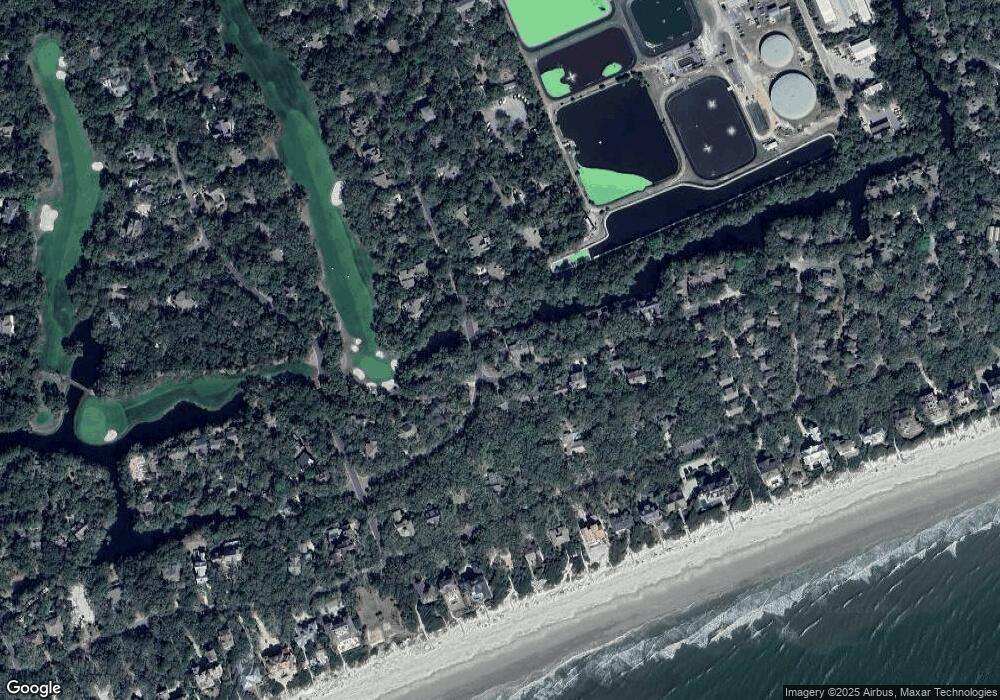
Map
Nearby Homes
- 460 Vetch Ct
- 4251 Mariners Watch
- 4265 Mariners Watch
- 235 Sparrow Hawk Rd
- 297 Saltmeadow Cove
- 291 Ruddy Turnstone Share D
- 291 Ruddy Turnstone Share F
- 291 Ruddy Turnstone Share C
- 291 Ruddy Turnstone Share E
- 40 Greensward Rd
- 159 Sea Marsh Dr
- 4403 Sea Forest Dr Unit 4403
- 4426 Sea Forest Dr
- 4420 Sea Forest Dr
- 4451 Sea Forest Dr
- 4506 Park Lake Dr
- 5104 Sea Forest Dr
- 1365 Dunlin Ct Unit G
- 1355 Dunlin Ct Unit D
- 1355 Dunlin Ct
- 403 Amaranth Rd
- 404 Amaranth Rd
- 419 Amaranth Rd
- 401 Green Winged Teal Rd
- 420 Amaranth Rd
- 418 Amaranth Rd
- 377 Green Winged Teal Rd
- 405 Amaranth Rd
- 417 Amaranth Rd
- 400 Green Winged Teal Rd
- 376 Green Winged Teal Rd
- 416 Amaranth Rd
- 378 Green Winged Teal Rd
- 415 Amaranth Rd
- 407 Amaranth Rd
- 52 Eugenia Ave
- 50 Eugenia Ave
- 399 Green Winged Teal Rd
- 379 Green Winged Teal Rd
- 54 Eugenia Ave