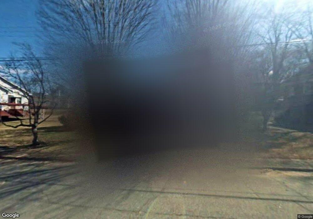
402 Avenue D West Point, GA 31833
Estimated Value: $114,000 - $162,000
3
Beds
2
Baths
1,800
Sq Ft
$78/Sq Ft
Est. Value
About This Home
This home is located at 402 Avenue D, West Point, GA 31833 and is currently estimated at $140,267, approximately $77 per square foot. 402 Avenue D is a home located in Troup County with nearby schools including West Point Elementary School, Long Cane Elementary School, and Whitesville Road Elementary School.
Ownership History
Date
Name
Owned For
Owner Type
Purchase Details
Closed on
Sep 21, 2021
Sold by
Williams Patricia
Bought by
Bennett Casaundra Williams
Current Estimated Value
Purchase Details
Closed on
Mar 13, 2019
Sold by
Williams Joe B
Bought by
Williams Patricia
Purchase Details
Closed on
Jun 15, 2012
Sold by
Johnson Patriot Ward
Bought by
Williams Joe B
Purchase Details
Closed on
Dec 29, 1998
Sold by
Willie Johnson
Bought by
Johnson Patriot Ward
Purchase Details
Closed on
Jan 1, 1954
Sold by
Frances S Childs
Bought by
Willie Johnson
Purchase Details
Closed on
Mar 1, 1946
Sold by
Frances Z Huguley
Bought by
Frances S Childs
Create a Home Valuation Report for This Property
The Home Valuation Report is an in-depth analysis detailing your home's value as well as a comparison with similar homes in the area
Home Values in the Area
Average Home Value in this Area
Purchase History
| Date | Buyer | Sale Price | Title Company |
|---|---|---|---|
| Bennett Casaundra Williams | -- | -- | |
| Williams Patricia | -- | -- | |
| Williams Joe B | $45,000 | -- | |
| Johnson Patriot Ward | -- | -- | |
| Willie Johnson | -- | -- | |
| Frances S Childs | -- | -- |
Source: Public Records
Tax History Compared to Growth
Tax History
| Year | Tax Paid | Tax Assessment Tax Assessment Total Assessment is a certain percentage of the fair market value that is determined by local assessors to be the total taxable value of land and additions on the property. | Land | Improvement |
|---|---|---|---|---|
| 2024 | $1,651 | $46,680 | $800 | $45,880 |
| 2023 | $1,246 | $45,680 | $800 | $44,880 |
| 2022 | $1,207 | $43,240 | $800 | $42,440 |
| 2021 | $964 | $31,960 | $800 | $31,160 |
| 2020 | $549 | $18,200 | $800 | $17,400 |
| 2019 | $514 | $17,040 | $800 | $16,240 |
| 2018 | $493 | $16,352 | $872 | $15,480 |
| 2017 | $493 | $16,352 | $872 | $15,480 |
| 2016 | $490 | $16,261 | $872 | $15,389 |
| 2015 | $489 | $16,193 | $804 | $15,389 |
| 2014 | $465 | $15,383 | $804 | $14,579 |
| 2013 | -- | $16,685 | $804 | $15,881 |
Source: Public Records
Map
Nearby Homes
- 311 E 4th St
- 804 E 6th St
- 112 Hillcrest Rd
- 713 Avenue H
- 128 Highland Dr
- 509 Cleveland St
- 0 Arrowhead Dr Unit 10451860
- 712 4th Ave
- 1008 E 12th St
- 1007 4th Ave
- 302 N 6th Ave
- 1508 N 4th Ave
- 514 N 8th Ave
- 608 S 1st Ave
- 1505 Wisteria Dr
- 811 Cherry Dr
- 813 Cherry Dr
- 806 N 5th St
- 1314 4th Ave
- 0 Sunset Dr Unit 10451831