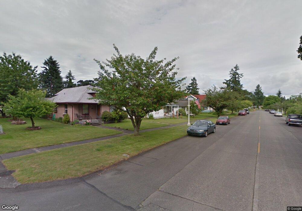
402 Barksdale Ave Dupont, WA 98327
Estimated Value: $431,000 - $465,000
4
Beds
1
Bath
1,510
Sq Ft
$294/Sq Ft
Est. Value
About This Home
This home is located at 402 Barksdale Ave, Dupont, WA 98327 and is currently estimated at $444,348, approximately $294 per square foot. 402 Barksdale Ave is a home located in Pierce County with nearby schools including Chloe Clark Elementary School, Saltars Point Elementary School, and Pioneer Middle School.
Ownership History
Date
Name
Owned For
Owner Type
Purchase Details
Closed on
Oct 18, 2005
Sold by
Shenkel Chester F and Shenkel Renate G
Bought by
Willett David G and Willett Sandra E
Current Estimated Value
Home Financials for this Owner
Home Financials are based on the most recent Mortgage that was taken out on this home.
Original Mortgage
$129,174
Outstanding Balance
$68,747
Interest Rate
5.67%
Mortgage Type
FHA
Estimated Equity
$375,601
Create a Home Valuation Report for This Property
The Home Valuation Report is an in-depth analysis detailing your home's value as well as a comparison with similar homes in the area
Home Values in the Area
Average Home Value in this Area
Purchase History
| Date | Buyer | Sale Price | Title Company |
|---|---|---|---|
| Willett David G | -- | Fidelity National Title Insu |
Source: Public Records
Mortgage History
| Date | Status | Borrower | Loan Amount |
|---|---|---|---|
| Open | Willett David G | $129,174 |
Source: Public Records
Tax History Compared to Growth
Tax History
| Year | Tax Paid | Tax Assessment Tax Assessment Total Assessment is a certain percentage of the fair market value that is determined by local assessors to be the total taxable value of land and additions on the property. | Land | Improvement |
|---|---|---|---|---|
| 2025 | $2,725 | $404,200 | $199,900 | $204,300 |
| 2024 | $2,725 | $398,400 | $195,600 | $202,800 |
| 2023 | $2,725 | $338,200 | $173,100 | $165,100 |
| 2022 | $2,579 | $351,700 | $181,100 | $170,600 |
| 2021 | $2,785 | $276,300 | $130,500 | $145,800 |
| 2019 | $2,141 | $239,200 | $105,200 | $134,000 |
| 2018 | $2,321 | $209,000 | $90,500 | $118,500 |
| 2017 | $1,967 | $198,600 | $83,100 | $115,500 |
| 2016 | $1,825 | $160,500 | $65,800 | $94,700 |
| 2014 | $1,940 | $161,900 | $65,800 | $96,100 |
| 2013 | $1,940 | $151,300 | $66,900 | $84,400 |
Source: Public Records
Map
Nearby Homes
- 208 Barksdale Ave
- 604 Dupont Ave
- 1613 Palisade Blvd
- 1625 Palisade Blvd
- 1451 Thompson Cir Unit 4A
- 2104 Palisade Blvd Unit B-7
- 1607 Kincaid St Unit E-8
- 2147 Hammond Ave Unit B10
- 1449 Bobs Hollow Ln
- 1856 Spencer Ct Unit 12F
- 2176 Palisade Blvd Unit F-3
- 2160 Anderson Ave
- 2198 Palisade Blvd Unit C2
- 2176 McDonald Ave
- 1151 Griggs St
- 1187 Griggs St Unit 1187
- 2237 Tolmie St
- 2696 Erwin Ave Unit 2696
- 1331 Rowan Ct Unit 1331
- 1263 Hudson St
- 404 Barksdale Ave
- 400 Barksdale Ave
- 406 Barksdale Ave
- 401 Brandywine Ave
- 408 Barksdale Ave
- 310 Barksdale Ave
- 311 Brandywine Ave
- 403 Barksdale Ave
- 410 Barksdale Ave
- 401 Barksdale Ave
- 407 Barksdale Ave
- 409 Barksdale Ave
- 309 Brandywine Ave
- 311 Barksdale Ave
- 306 Barksdale Ave
- 411 Barksdale Ave
- 307 Brandywine Ave
- 309 Barksdale Ave
- 305 Brandywine Ave
- 302 Barksdale Ave