402 Browns Point Rd Bowdoinham, ME 04008
Estimated Value: $377,946 - $684,000
3
Beds
2
Baths
1,442
Sq Ft
$335/Sq Ft
Est. Value
About This Home
This home is located at 402 Browns Point Rd, Bowdoinham, ME 04008 and is currently estimated at $482,649, approximately $334 per square foot. 402 Browns Point Rd is a home located in Sagadahoc County with nearby schools including Mt Ararat High School.
Ownership History
Date
Name
Owned For
Owner Type
Purchase Details
Closed on
Jun 30, 2021
Sold by
West Elizabeth A
Bought by
Gill Charles F and Gill Linda W
Current Estimated Value
Home Financials for this Owner
Home Financials are based on the most recent Mortgage that was taken out on this home.
Original Mortgage
$35,000
Outstanding Balance
$31,757
Interest Rate
2.9%
Mortgage Type
Purchase Money Mortgage
Estimated Equity
$450,892
Create a Home Valuation Report for This Property
The Home Valuation Report is an in-depth analysis detailing your home's value as well as a comparison with similar homes in the area
Home Values in the Area
Average Home Value in this Area
Purchase History
| Date | Buyer | Sale Price | Title Company |
|---|---|---|---|
| Gill Charles F | -- | None Available |
Source: Public Records
Mortgage History
| Date | Status | Borrower | Loan Amount |
|---|---|---|---|
| Open | Gill Charles F | $35,000 |
Source: Public Records
Tax History Compared to Growth
Tax History
| Year | Tax Paid | Tax Assessment Tax Assessment Total Assessment is a certain percentage of the fair market value that is determined by local assessors to be the total taxable value of land and additions on the property. | Land | Improvement |
|---|---|---|---|---|
| 2024 | $3,669 | $174,700 | $83,700 | $91,000 |
| 2023 | $3,457 | $177,300 | $83,700 | $93,600 |
| 2022 | $2,708 | $149,700 | $69,800 | $79,900 |
| 2021 | $3,228 | $190,200 | $69,800 | $120,400 |
| 2020 | $3,239 | $192,000 | $71,600 | $120,400 |
| 2019 | $3,162 | $192,000 | $71,600 | $120,400 |
| 2018 | $2,948 | $171,900 | $71,600 | $100,300 |
| 2017 | $3,078 | $182,700 | $82,400 | $100,300 |
| 2016 | $2,845 | $171,900 | $71,600 | $100,300 |
| 2015 | $2,833 | $172,200 | $71,900 | $100,300 |
| 2014 | $2,798 | $172,200 | $71,900 | $100,300 |
| 2013 | $2,657 | $172,500 | $71,900 | $100,600 |
Source: Public Records
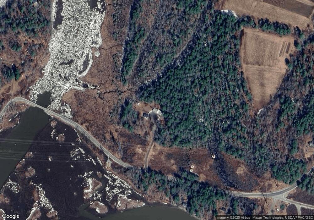
Map
Nearby Homes
- 0 White Rd
- 143 White Rd
- 00 Skillings Dr
- 20 Eagle Point Rd
- 110 Chopps Cross Rd
- Lot 11E Baker Dr
- Lot 08 Sara's Way
- 0 Norway Dr
- 83 Hemlock Hill Ln
- 107 Stevenson Way
- 744 Ridge Rd
- 852 River Rd
- 458 Carding MacHine Rd
- 14 Hedge Bridge Rd
- 44A Trott Rd
- 277 Old Stage Rd
- 00 Dana Mill Rd
- 10 Cork Cove Ln
- 594 Middlesex Rd
- 75 Adams Landing Rd
- 419 Browns Point Rd
- 421 Browns Point Rd
- 431 Browns Point Rd
- 23 Foster Ln
- 11 Foster Ln
- 0 Pork Point
- 444 Browns Point Rd
- 26 Pork Point Rd
- 39 Abbagadassett Rd
- 14 Foster Ln
- 15 Foster Ln
- 40 Pork Point Rd
- 46 Pork Point Rd
- 29 Pork Point Rd
- 41 & 41A Pork Point Rd
- Lot 41-A Pork Point Rd
- Lot 41 Pork Point Rd
- 10 Abbagadassett Rd
- 50 Pork Point Rd
- 52 Center Point Rd