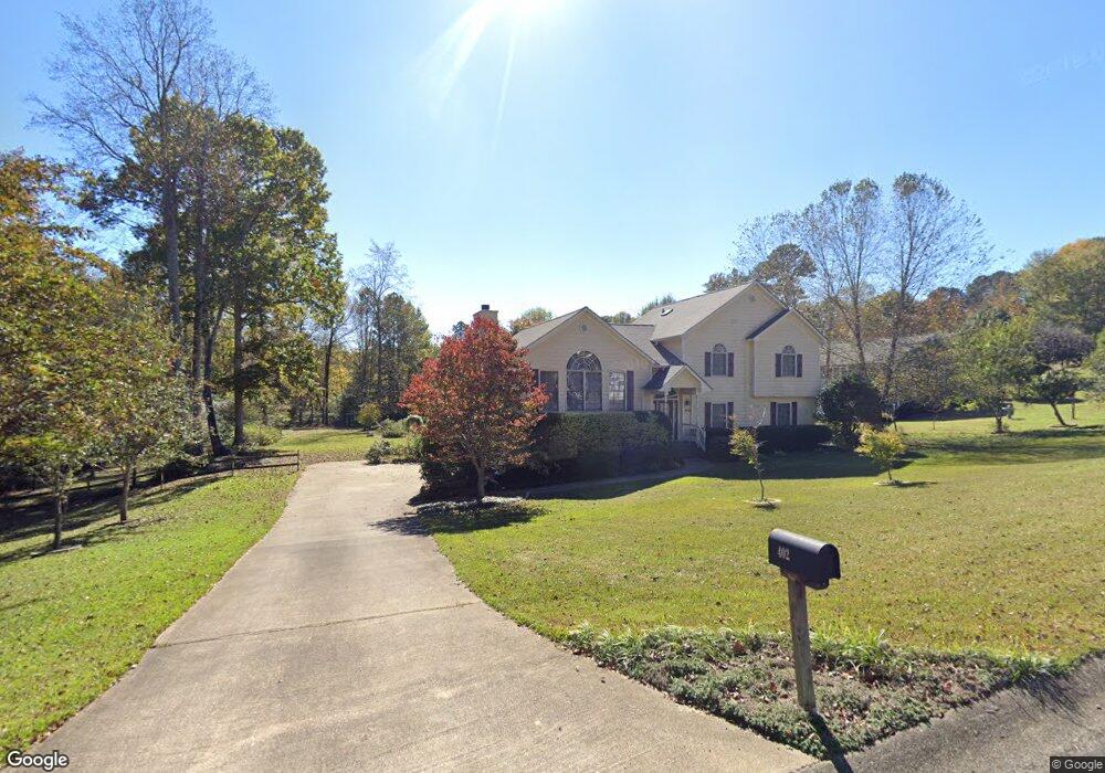
402 Coolsprings Trail Woodstock, GA 30188
Union Hill NeighborhoodEstimated Value: $485,662 - $513,000
4
Beds
3
Baths
2,870
Sq Ft
$174/Sq Ft
Est. Value
About This Home
This home is located at 402 Coolsprings Trail, Woodstock, GA 30188 and is currently estimated at $499,331, approximately $173 per square foot. 402 Coolsprings Trail is a home located in Cherokee County with nearby schools including Johnston Elementary School, Mill Creek Middle School, and River Ridge High School.
Ownership History
Date
Name
Owned For
Owner Type
Purchase Details
Closed on
Feb 26, 2008
Sold by
Weisman Stephen P
Bought by
Pouliot Stephen L and Pouliot Sandra L
Current Estimated Value
Home Financials for this Owner
Home Financials are based on the most recent Mortgage that was taken out on this home.
Original Mortgage
$214,110
Outstanding Balance
$131,517
Interest Rate
5.65%
Mortgage Type
New Conventional
Estimated Equity
$367,814
Purchase Details
Closed on
Apr 21, 1995
Sold by
Carter Luke M Therese
Bought by
Weisman Stephen Shaune
Create a Home Valuation Report for This Property
The Home Valuation Report is an in-depth analysis detailing your home's value as well as a comparison with similar homes in the area
Home Values in the Area
Average Home Value in this Area
Purchase History
| Date | Buyer | Sale Price | Title Company |
|---|---|---|---|
| Pouliot Stephen L | $237,900 | -- | |
| Weisman Stephen Shaune | $127,500 | -- |
Source: Public Records
Mortgage History
| Date | Status | Borrower | Loan Amount |
|---|---|---|---|
| Open | Pouliot Stephen L | $214,110 | |
| Closed | Weisman Stephen Shaune | $0 |
Source: Public Records
Tax History Compared to Growth
Tax History
| Year | Tax Paid | Tax Assessment Tax Assessment Total Assessment is a certain percentage of the fair market value that is determined by local assessors to be the total taxable value of land and additions on the property. | Land | Improvement |
|---|---|---|---|---|
| 2025 | $953 | $180,260 | $34,400 | $145,860 |
| 2024 | $923 | $175,812 | $34,400 | $141,412 |
| 2023 | $791 | $178,080 | $34,400 | $143,680 |
| 2022 | $919 | $160,148 | $31,200 | $128,948 |
| 2021 | $867 | $125,016 | $24,000 | $101,016 |
| 2020 | $828 | $113,728 | $21,200 | $92,528 |
| 2019 | $809 | $108,720 | $20,400 | $88,320 |
| 2018 | $795 | $101,440 | $18,400 | $83,040 |
| 2017 | $2,667 | $244,700 | $18,400 | $79,480 |
| 2016 | $2,603 | $235,300 | $16,800 | $77,320 |
| 2015 | $2,537 | $225,500 | $16,800 | $73,400 |
| 2014 | $2,094 | $183,500 | $15,000 | $58,400 |
Source: Public Records
Map
Nearby Homes
- 151 Springwater Trace
- 614 Springharbor Dr
- 161 Stoney Creek Pkwy
- 1095 Ashlin Dr
- 214 Valley Brook Dr
- 505 Lost Creek Dr
- 160 Highlands Dr
- 550 Fox Creek Crossing
- 531 Fox Creek Crossing
- 224 Stone Park Dr
- 713 Parkside Dr
- 306 Serenity Way
- 5541 Old Highway 5
- 228 Holly Creek Way
- 234 Holly Creek Way
- 126 Highlands Dr Unit 1
- 501 Ruths Dr
- 157 Springwater Trace
- 401 Coolsprings Trail
- 159 Springwater Trace
- 406 Coolsprings Trail
- 153 Springwater Trace
- 405 Coolsprings Trail
- 168 Springwater Trace
- 166 Springwater Trace
- 164 Springwater Trace
- 411 Coolsprings Trail
- 162 Springwater Trace
- 410 Coolsprings Trail
- 170 Springwater Trace Unit 1
- 414 Coolsprings Trail
- 149 Springwater Trace
- 160 Springwater Trace
- 161 Springwater Trace Unit 1
- 441 Coolsprings Cove
- 418 Coolsprings Trail
- 429 Coolsprings Trail