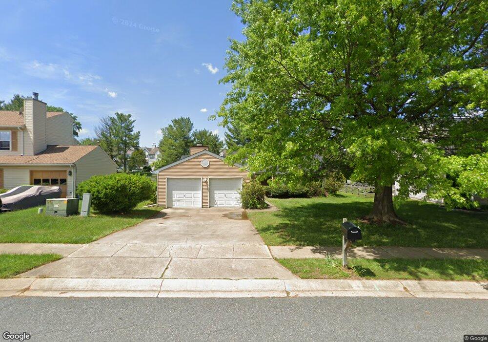
402 Crisfield Dr Abingdon, MD 21009
Estimated Value: $369,402 - $421,000
Studio
2
Baths
1,664
Sq Ft
$238/Sq Ft
Est. Value
About This Home
This home is located at 402 Crisfield Dr, Abingdon, MD 21009 and is currently estimated at $396,851, approximately $238 per square foot. 402 Crisfield Dr is a home located in Harford County with nearby schools including Abingdon Elementary School, Edgewood Middle School, and Edgewood High School.
Ownership History
Date
Name
Owned For
Owner Type
Purchase Details
Closed on
May 3, 2024
Sold by
Robinson Richard and Robinson Danita R
Bought by
Robinson Danita R
Current Estimated Value
Purchase Details
Closed on
Jan 22, 1990
Sold by
Sheridan Thomas M
Bought by
Robinson Richard
Home Financials for this Owner
Home Financials are based on the most recent Mortgage that was taken out on this home.
Original Mortgage
$114,600
Interest Rate
9.9%
Purchase Details
Closed on
Dec 15, 1987
Sold by
Bank Family Partnership The
Bought by
Sheridan Thomas M
Home Financials for this Owner
Home Financials are based on the most recent Mortgage that was taken out on this home.
Original Mortgage
$88,200
Interest Rate
10.66%
Purchase Details
Closed on
Nov 21, 1985
Sold by
Harford Dev Co Inc
Bought by
Bank Family Partnership The
Home Financials for this Owner
Home Financials are based on the most recent Mortgage that was taken out on this home.
Original Mortgage
$300,000
Interest Rate
11.79%
Create a Home Valuation Report for This Property
The Home Valuation Report is an in-depth analysis detailing your home's value as well as a comparison with similar homes in the area
Home Values in the Area
Average Home Value in this Area
Purchase History
| Date | Buyer | Sale Price | Title Company |
|---|---|---|---|
| Robinson Danita R | -- | None Listed On Document | |
| Robinson Danita R | -- | None Listed On Document | |
| Robinson Richard | $113,500 | -- | |
| Sheridan Thomas M | $98,000 | -- | |
| Bank Family Partnership The | $15,000 | -- |
Source: Public Records
Mortgage History
| Date | Status | Borrower | Loan Amount |
|---|---|---|---|
| Previous Owner | Robinson Richard | $114,600 | |
| Previous Owner | Sheridan Thomas M | $88,200 | |
| Previous Owner | Bank Family Partnership The | $300,000 |
Source: Public Records
Tax History Compared to Growth
Tax History
| Year | Tax Paid | Tax Assessment Tax Assessment Total Assessment is a certain percentage of the fair market value that is determined by local assessors to be the total taxable value of land and additions on the property. | Land | Improvement |
|---|---|---|---|---|
| 2025 | $2,593 | $262,033 | $0 | $0 |
| 2024 | $2,593 | $243,967 | $0 | $0 |
| 2023 | $2,381 | $225,900 | $84,200 | $141,700 |
| 2022 | $2,381 | $218,500 | $0 | $0 |
| 2021 | $4,763 | $211,100 | $0 | $0 |
| 2020 | $2,351 | $203,700 | $84,200 | $119,500 |
| 2019 | $2,351 | $203,700 | $84,200 | $119,500 |
| 2018 | $2,329 | $203,700 | $84,200 | $119,500 |
| 2017 | $2,388 | $208,800 | $0 | $0 |
| 2016 | -- | $208,800 | $0 | $0 |
| 2015 | $2,732 | $208,800 | $0 | $0 |
| 2014 | $2,732 | $225,500 | $0 | $0 |
Source: Public Records
Map
Nearby Homes
- 310 Talbot Ct
- 3500 Thomas Pointe Ct Unit 2B
- 488 Crestridge Way
- 627 Stone Mill Ct
- 203 Crosse Pointe 1d Ct Unit 1D
- 201 Windmille Pointe Ct Unit 2C
- 203 Star Pointe Ct Unit 2C
- 201 Star Pointe Ct Unit 1A
- 3311 Betterton Cir
- 339 Overlea Place
- 322 Overlea Place
- 322 Delmar Ct
- 497 Ashton Ln
- 3146 Tipton Way
- 3110 Tipton Way
- 425 Foreland Garth
- 221 Glen View Terrace
- 3026 Cascade Dr
- 546 June Apple Ct
- 3660 Marpat Dr
- 404 Crisfield Dr
- 400 Crisfield Dr
- 406 Crisfield Dr
- 403 Crisfield Dr
- 408 Crisfield Dr
- 404 Kentmore Terrace
- 402 Kentmore Terrace
- 401 Crisfield Dr
- 406 Kentmore Terrace
- 408 Kentmore Terrace
- 308 Crisfield Ct
- 405 Crisfield Dr
- 410 Kentmore Terrace
- 412 Kentmore Terrace
- 414 Kentmore Terrace
- 410 Crisfield Dr
- 407 Crisfield Dr
- 416 Kentmore Terrace
- 421 Kentmore Terrace
- 418 Kentmore Terrace