402 Dew Drop Dr Jim Thorpe, PA 18229
Estimated Value: $410,790 - $560,000
4
Beds
2
Baths
2,672
Sq Ft
$187/Sq Ft
Est. Value
About This Home
This home is located at 402 Dew Drop Dr, Jim Thorpe, PA 18229 and is currently estimated at $498,930, approximately $186 per square foot. 402 Dew Drop Dr is a home with nearby schools including Jim Thorpe Area High School.
Ownership History
Date
Name
Owned For
Owner Type
Purchase Details
Closed on
Mar 14, 2014
Sold by
Figura John P and Pope Judy
Bought by
Clay Ii Ralph W and Clay Margaret C
Current Estimated Value
Purchase Details
Closed on
Mar 4, 2014
Sold by
Clay Ralph W and Clay Margaret C
Bought by
Clay Ralph W and Clay Margaret C
Purchase Details
Closed on
Nov 9, 2012
Sold by
Figura John P and Figura Karen S
Bought by
Clay Ii Ralph W and Clay Margaret C
Home Financials for this Owner
Home Financials are based on the most recent Mortgage that was taken out on this home.
Original Mortgage
$281,600
Interest Rate
3.42%
Mortgage Type
VA
Create a Home Valuation Report for This Property
The Home Valuation Report is an in-depth analysis detailing your home's value as well as a comparison with similar homes in the area
Home Values in the Area
Average Home Value in this Area
Purchase History
| Date | Buyer | Sale Price | Title Company |
|---|---|---|---|
| Clay Ii Ralph W | -- | None Available | |
| Clay Ralph W | -- | None Available | |
| Clay Ii Ralph W | $295,000 | None Available |
Source: Public Records
Mortgage History
| Date | Status | Borrower | Loan Amount |
|---|---|---|---|
| Previous Owner | Clay Ii Ralph W | $281,600 |
Source: Public Records
Tax History Compared to Growth
Tax History
| Year | Tax Paid | Tax Assessment Tax Assessment Total Assessment is a certain percentage of the fair market value that is determined by local assessors to be the total taxable value of land and additions on the property. | Land | Improvement |
|---|---|---|---|---|
| 2025 | $6,806 | $85,750 | $8,950 | $76,800 |
| 2024 | $6,549 | $85,750 | $8,950 | $76,800 |
| 2023 | $6,430 | $85,750 | $8,950 | $76,800 |
| 2022 | $6,327 | $85,750 | $8,950 | $76,800 |
| 2021 | $6,327 | $85,750 | $8,950 | $76,800 |
| 2020 | $6,107 | $85,750 | $8,950 | $76,800 |
| 2019 | $5,936 | $85,750 | $8,950 | $76,800 |
| 2018 | $5,804 | $85,750 | $8,950 | $76,800 |
| 2017 | $5,631 | $85,750 | $8,950 | $76,800 |
| 2016 | -- | $85,750 | $8,950 | $76,800 |
| 2015 | -- | $85,750 | $8,950 | $76,800 |
Source: Public Records
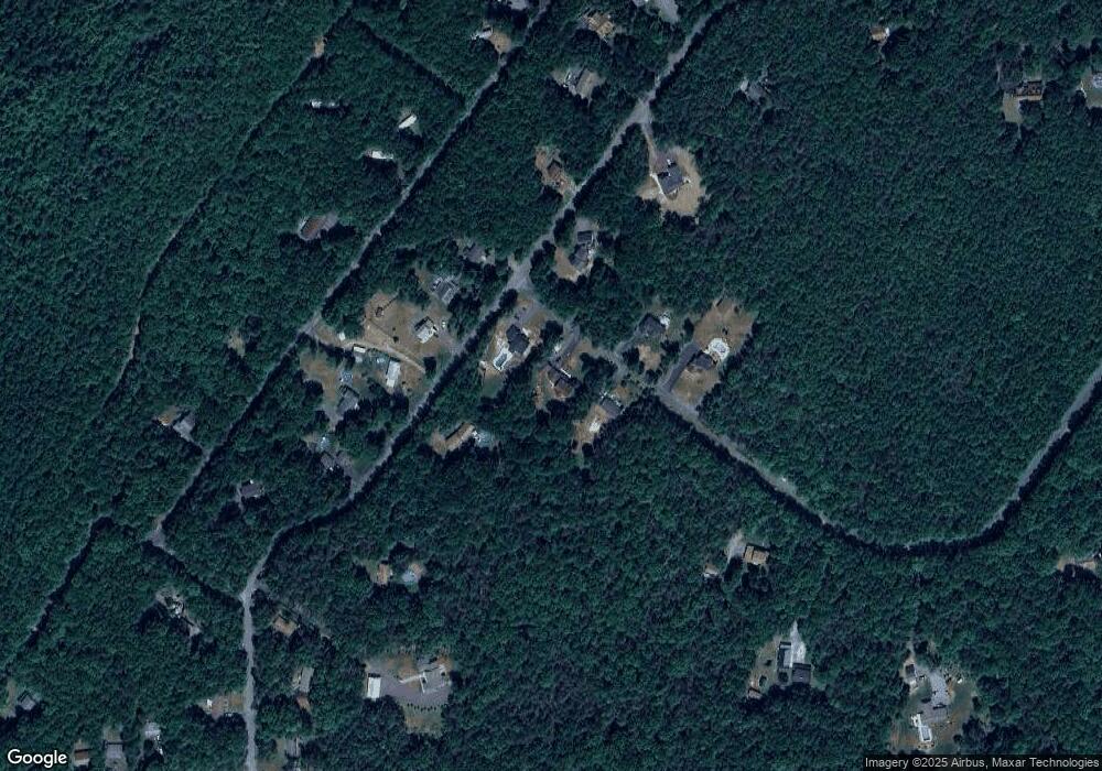
Map
Nearby Homes
- A591 Apple Lane & Stony Mountain
- 0 N Dr Unit PM-116531
- 812 Lehigh St
- 0 W Thirteenth St Unit PM-121866
- 515 North St
- 59 W Front St
- 514 North St
- 15 W 5th St Unit 17
- 223 North Ave
- 617 Center St
- 705 Center St
- 432 Center St
- 115 Center St
- 218 Center St
- 622 Center Ave
- 25 E 5th St
- 226 Fern St
- 11 E Front St
- 732 Center Ave
- 118 South Ave
- 3 Dew Drop Dr
- 400 Dew Drop Dr
- 4 Dew Drop Dr
- 5 Broadview Dr
- 229 Broadview Dr
- 405 Dew Drop Dr
- 227 Broadview Dr
- 1129-1133 Broadview Dr
- 1161 Broadview Dr
- 230 Broadview Dr
- A45 Broadview Dr
- 1086 Broadview Dr
- 407 Dew Drop Dr
- 2 Broadview Dr
- 2 Broadview Dr
- 212 S Broadview Dr
- 231 Broadview Dr
- 228 Broadview Dr
- 301 Dew Drop Dr
- Lot A3.01 Dew Drop Dr