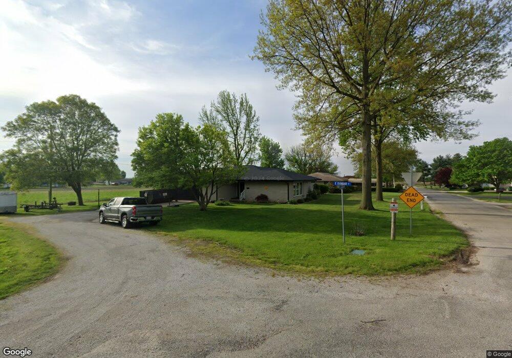
402 E Dunbar St Blue Mound, IL 62513
Estimated Value: $197,000 - $293,000
3
Beds
2
Baths
2,582
Sq Ft
$91/Sq Ft
Est. Value
About This Home
This home is located at 402 E Dunbar St, Blue Mound, IL 62513 and is currently estimated at $236,048, approximately $91 per square foot. 402 E Dunbar St is a home located in Macon County with nearby schools including Meridian Middle School and Meridian High School.
Ownership History
Date
Name
Owned For
Owner Type
Purchase Details
Closed on
Oct 11, 2021
Sold by
Holdener William J and Holdener Kalyn G
Bought by
Bright Debbie
Current Estimated Value
Purchase Details
Closed on
Sep 12, 2012
Sold by
Dummermuth Devona
Bought by
Holdener William J and Thiele Kalyn G
Home Financials for this Owner
Home Financials are based on the most recent Mortgage that was taken out on this home.
Original Mortgage
$94,000
Interest Rate
3.56%
Mortgage Type
New Conventional
Create a Home Valuation Report for This Property
The Home Valuation Report is an in-depth analysis detailing your home's value as well as a comparison with similar homes in the area
Home Values in the Area
Average Home Value in this Area
Purchase History
| Date | Buyer | Sale Price | Title Company |
|---|---|---|---|
| Bright Debbie | $194,000 | None Available | |
| Holdener William J | $117,500 | None Available |
Source: Public Records
Mortgage History
| Date | Status | Borrower | Loan Amount |
|---|---|---|---|
| Previous Owner | Holdener William J | $94,000 |
Source: Public Records
Tax History Compared to Growth
Tax History
| Year | Tax Paid | Tax Assessment Tax Assessment Total Assessment is a certain percentage of the fair market value that is determined by local assessors to be the total taxable value of land and additions on the property. | Land | Improvement |
|---|---|---|---|---|
| 2024 | $4,258 | $61,740 | $4,631 | $57,109 |
| 2023 | $3,729 | $48,664 | $4,199 | $44,465 |
| 2022 | $3,692 | $46,483 | $4,011 | $42,472 |
| 2021 | $3,612 | $44,153 | $3,810 | $40,343 |
| 2020 | $3,468 | $41,608 | $3,591 | $38,017 |
| 2019 | $3,468 | $41,608 | $3,591 | $38,017 |
| 2018 | $3,368 | $40,621 | $3,506 | $37,115 |
| 2017 | $3,385 | $40,793 | $3,521 | $37,272 |
| 2016 | $3,357 | $40,744 | $3,517 | $37,227 |
| 2015 | $3,240 | $39,558 | $3,415 | $36,143 |
| 2014 | $3,175 | $39,166 | $3,381 | $35,785 |
| 2013 | $3,184 | $39,166 | $3,381 | $35,785 |
Source: Public Records
Map
Nearby Homes
- 117 S Sunnyside Dr
- 1955 E 2700 Rd N
- 105 S Maple St
- 310 S Pine St
- 275 W Cole St
- 206 W Andrews St
- 161 N Front St
- 375 E Cook St
- 124 Robin Dr
- 803 N Putnam St
- 317 W Madison St
- 241 W Main St
- 319 N Macon St
- 429 N Shelby St
- 320 E Elm St
- 3335 Nevada Rd
- 0 E Main St
- 1798 E 1685 Rd N
- 501 W Walker Rd Unit Macon Illinois 62544
- 2951 Blackstone Dr