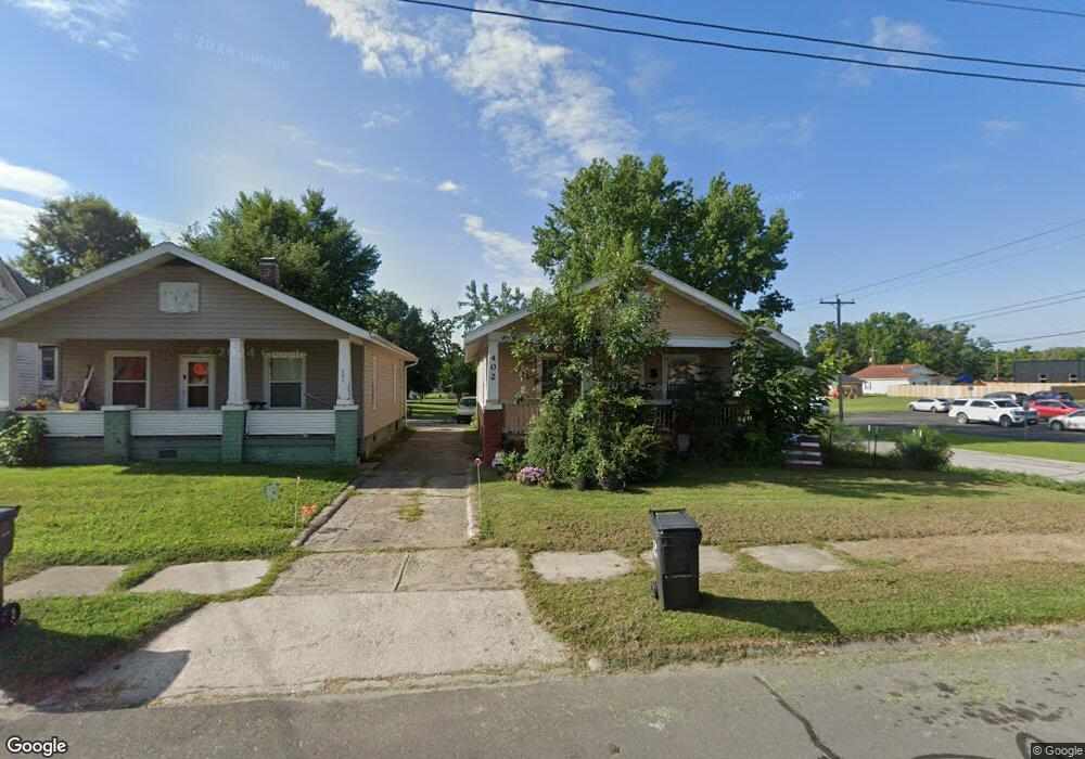
402 Franklin Ave Moberly, MO 65270
Estimated Value: $42,000 - $115,000
2
Beds
1
Bath
910
Sq Ft
$88/Sq Ft
Est. Value
About This Home
This home is located at 402 Franklin Ave, Moberly, MO 65270 and is currently estimated at $80,316, approximately $88 per square foot. 402 Franklin Ave is a home located in Randolph County with nearby schools including Moberly Senior High School, St. Pius X. Catholic School, and Maranatha Seventh-day Adventist School.
Ownership History
Date
Name
Owned For
Owner Type
Purchase Details
Closed on
May 24, 2024
Sold by
Mason Christine and Coleman Eddie
Bought by
Kire Investments Llc
Current Estimated Value
Purchase Details
Closed on
May 16, 2008
Sold by
Petersheim Jake J and Petersheim Debbie L
Bought by
Mason Christine
Home Financials for this Owner
Home Financials are based on the most recent Mortgage that was taken out on this home.
Original Mortgage
$32,400
Interest Rate
5.89%
Create a Home Valuation Report for This Property
The Home Valuation Report is an in-depth analysis detailing your home's value as well as a comparison with similar homes in the area
Home Values in the Area
Average Home Value in this Area
Purchase History
| Date | Buyer | Sale Price | Title Company |
|---|---|---|---|
| Kire Investments Llc | -- | None Listed On Document | |
| Mason Christine | $37,000 | -- |
Source: Public Records
Mortgage History
| Date | Status | Borrower | Loan Amount |
|---|---|---|---|
| Previous Owner | Mason Christine | $32,400 |
Source: Public Records
Tax History Compared to Growth
Tax History
| Year | Tax Paid | Tax Assessment Tax Assessment Total Assessment is a certain percentage of the fair market value that is determined by local assessors to be the total taxable value of land and additions on the property. | Land | Improvement |
|---|---|---|---|---|
| 2025 | $470 | $7,160 | $650 | $6,510 |
| 2024 | $470 | $6,460 | $570 | $5,890 |
| 2023 | $478 | $6,460 | $570 | $5,890 |
| 2022 | $445 | $6,180 | $570 | $5,610 |
| 2021 | $445 | $6,180 | $570 | $5,610 |
| 2020 | $445 | $6,180 | $570 | $5,610 |
| 2019 | $444 | $6,180 | $570 | $5,610 |
| 2018 | $447 | $6,250 | $570 | $5,680 |
| 2017 | $464 | $6,490 | $0 | $0 |
| 2016 | $439 | $6,180 | $0 | $0 |
| 2014 | -- | $6,000 | $0 | $0 |
| 2013 | -- | $6,000 | $0 | $0 |
| 2012 | -- | $6,020 | $0 | $0 |
Source: Public Records
Map
Nearby Homes
- 609 Franklin Ave
- 664 & 668 N Ault St
- 625 Franklin Ave
- 523 Morehead St
- 1102 N Morley St
- 511 Union Ave
- 720 Saint Charles St
- 812 N Moulton St
- 602 Vincil St
- 531 Farror St
- 524 Barrow St
- 1101 Stonebridge Ln
- Lot 11 Stonebridge Lane (Plat 2)
- Lot 10 Stonebridge Lane (Plat 2)
- 101 N Ault St
- 620 Burkholder St
- 815 Myra St
- 428 Woodland Ave
- 837 Myra St
- 800 Franklin St
- 404 Franklin Ave
- 406 Franklin St
- 410 Franklin Ave
- 414 Franklin Ave
- 325 Madison Ave
- 405 Madison Ave
- 319 Madison Ave
- 415 Franklin Ave
- 422 Franklin Ave
- 200 Porter St
- 310 Franklin Ave
- 313 Madison Ave
- 417 Franklin Ave
- 425 Madison Ave
- 428 Franklin Ave
- 419 Franklin Ave
- 402 Madison Ave
- 820 N Morley St
- 427 Madison Ave
- 408 Madison Ave