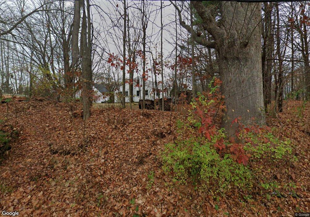
402 Gore Rd Alfred, ME 04002
Estimated Value: $444,000 - $762,000
3
Beds
3
Baths
1,656
Sq Ft
$347/Sq Ft
Est. Value
About This Home
This home is located at 402 Gore Rd, Alfred, ME 04002 and is currently estimated at $574,831, approximately $347 per square foot. 402 Gore Rd is a home located in York County with nearby schools including Massabesic High School.
Ownership History
Date
Name
Owned For
Owner Type
Purchase Details
Closed on
Apr 4, 2014
Sold by
Roehl Terrance E and Roehl Barbara J
Bought by
Desmond Crystal A and Desmond Patrick A
Current Estimated Value
Create a Home Valuation Report for This Property
The Home Valuation Report is an in-depth analysis detailing your home's value as well as a comparison with similar homes in the area
Home Values in the Area
Average Home Value in this Area
Purchase History
| Date | Buyer | Sale Price | Title Company |
|---|---|---|---|
| Desmond Crystal A | -- | -- |
Source: Public Records
Tax History Compared to Growth
Tax History
| Year | Tax Paid | Tax Assessment Tax Assessment Total Assessment is a certain percentage of the fair market value that is determined by local assessors to be the total taxable value of land and additions on the property. | Land | Improvement |
|---|---|---|---|---|
| 2025 | $5,064 | $524,722 | $139,775 | $384,947 |
| 2024 | $4,959 | $524,722 | $139,775 | $384,947 |
| 2023 | $3,850 | $204,800 | $74,900 | $129,900 |
| 2022 | $3,686 | $204,800 | $74,900 | $129,900 |
| 2021 | $3,533 | $204,800 | $74,900 | $129,900 |
| 2020 | $3,359 | $204,800 | $74,900 | $129,900 |
| 2019 | $3,359 | $204,800 | $74,900 | $129,900 |
| 2018 | $3,256 | $204,800 | $74,900 | $129,900 |
| 2017 | $3,256 | $204,800 | $74,900 | $129,900 |
| 2016 | $3,053 | $201,500 | $74,900 | $126,600 |
| 2015 | $2,922 | $201,500 | $74,900 | $126,600 |
| 2014 | $2,871 | $201,500 | $74,900 | $126,600 |
| 2013 | $2,771 | $201,500 | $74,900 | $126,600 |
Source: Public Records
Map
Nearby Homes
- 67 Carpenter Hill Rd
- 691 Gore Rd
- 232 Waterboro Rd
- Lot 1 Martin Cir
- Lot 650 Gebung Rd
- 74 Lisa Dr
- 599 Gore Rd
- TBD Olde Farnham Rd
- 5 Cooper Way
- 15 Scooter Way
- 34 Cascade Cir Unit 30
- 22 White House Cove Rd
- 51 Sanford Rd
- 58 Sanford Rd
- 450 West Rd
- 0 Sanford Rd
- 16 Marcotte Ln
- Lot 35 Bennett Rd
- TBD Elm St
- 26 Kolbe Dr
- 394 Gore Rd
- 393 Gore Rd
- 409 Gore Rd
- 414 Gore Rd
- 389 Gore Rd
- 423 Gore Rd
- 385 Gore Rd
- 36 Middle Branch Dr
- 388 Gore Rd
- 20 Deer Run
- 32 Middle Branch Dr
- 22 Sugar Maple Dr
- 40 Middle Branch Dr
- 377 Gore Rd
- 33 Middle Branch Dr
- 42 Middle Branch Dr
- 436 Gore Rd
- 60 Middle Branch Dr
- 43 Middle Branch Dr
- 0 Middle Branch Dr
