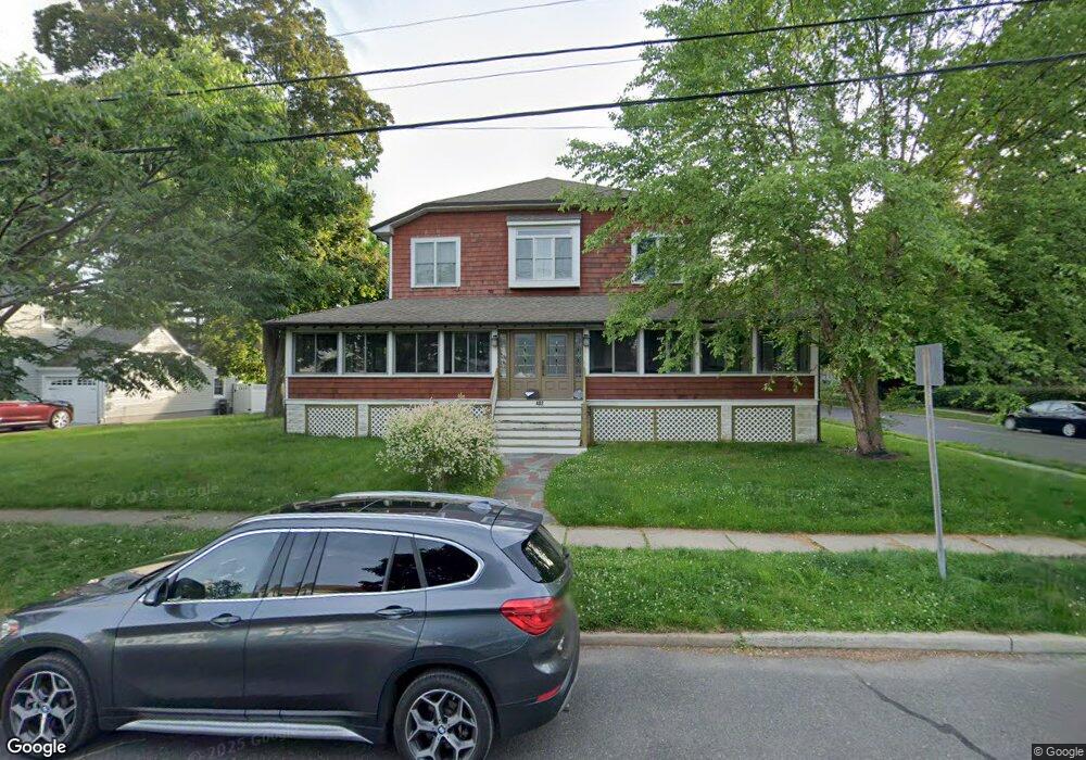
402 High St Cranford, NJ 07016
Estimated Value: $803,000 - $1,042,000
5
Beds
3
Baths
3,326
Sq Ft
$278/Sq Ft
Est. Value
About This Home
This home is located at 402 High St, Cranford, NJ 07016 and is currently estimated at $923,999, approximately $277 per square foot. 402 High St is a home located in Union County with nearby schools including Cranford Sr High School and St Michael School.
Ownership History
Date
Name
Owned For
Owner Type
Purchase Details
Closed on
Jul 12, 2023
Sold by
Pena Shannon L
Bought by
Pena Mark B
Current Estimated Value
Purchase Details
Closed on
Jan 14, 2000
Sold by
Allcock Douglas
Bought by
Pena Mark B
Home Financials for this Owner
Home Financials are based on the most recent Mortgage that was taken out on this home.
Original Mortgage
$146,400
Interest Rate
7.83%
Create a Home Valuation Report for This Property
The Home Valuation Report is an in-depth analysis detailing your home's value as well as a comparison with similar homes in the area
Home Values in the Area
Average Home Value in this Area
Purchase History
| Date | Buyer | Sale Price | Title Company |
|---|---|---|---|
| Pena Mark B | -- | None Listed On Document | |
| Pena Mark B | $183,000 | -- |
Source: Public Records
Mortgage History
| Date | Status | Borrower | Loan Amount |
|---|---|---|---|
| Previous Owner | Pena Mark B | $146,400 |
Source: Public Records
Tax History
| Year | Tax Paid | Tax Assessment Tax Assessment Total Assessment is a certain percentage of the fair market value that is determined by local assessors to be the total taxable value of land and additions on the property. | Land | Improvement |
|---|---|---|---|---|
| 2025 | $13,070 | $192,800 | $87,300 | $105,500 |
| 2024 | $12,854 | $192,800 | $87,300 | $105,500 |
| 2023 | $12,854 | $192,800 | $87,300 | $105,500 |
| 2022 | $12,748 | $192,800 | $87,300 | $105,500 |
| 2021 | $12,692 | $192,800 | $87,300 | $105,500 |
| 2020 | $12,652 | $192,800 | $87,300 | $105,500 |
| 2019 | $12,571 | $192,800 | $87,300 | $105,500 |
| 2018 | $12,343 | $192,800 | $87,300 | $105,500 |
| 2017 | $11,919 | $192,800 | $87,300 | $105,500 |
| 2016 | $11,485 | $192,800 | $87,300 | $105,500 |
| 2015 | $11,184 | $192,800 | $87,300 | $105,500 |
| 2014 | $10,955 | $192,800 | $87,300 | $105,500 |
Source: Public Records
Map
Nearby Homes
- 103 High St
- 506 Lincoln Park E Unit 506
- 301 Denman Rd
- 501 Centennial Ave
- 17 Cherokee Rd
- 19 Munsee Dr
- 18 Springfield Ave Unit 3A
- 4 Sylvester St
- 369 S Union Ave
- 2 Roger Ave
- 13 Roger Ave
- 10 Madison Ave
- 7 Colin Kelly St
- 409 S Union Ave
- 116 Willow Ave
- 201 Maple Place
- 302 New York Ave
- 431 Raritan Rd
- 1921 Grandview Ave
- 21 Spruce St
Your Personal Tour Guide
Ask me questions while you tour the home.