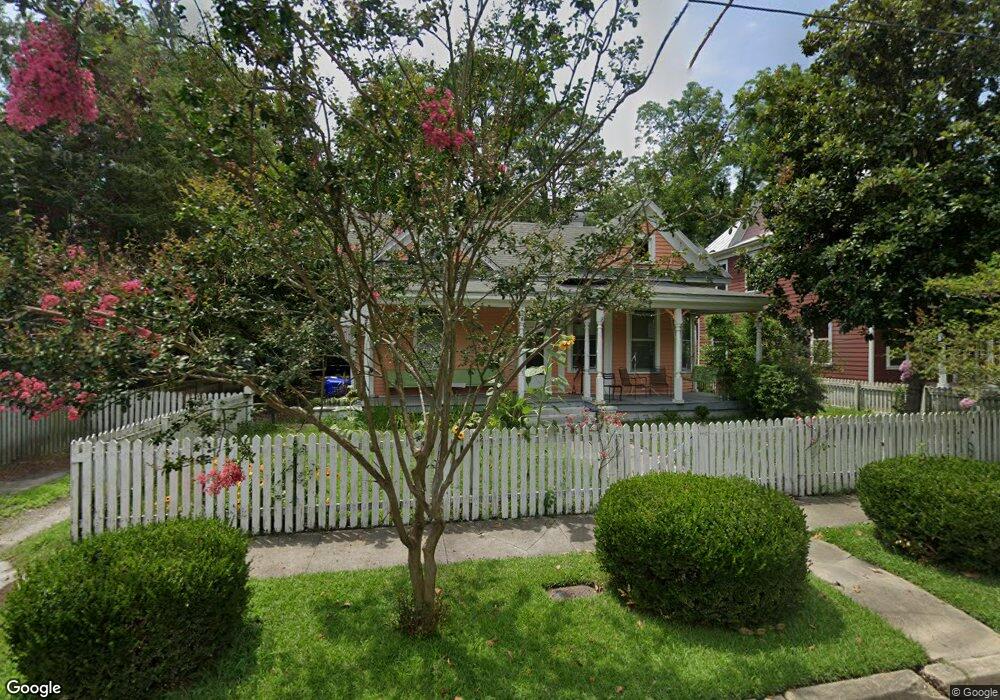
402 Mitchell St Kinston, NC 28501
Estimated Value: $94,000 - $149,379
3
Beds
1
Bath
1,906
Sq Ft
$64/Sq Ft
Est. Value
About This Home
This home is located at 402 Mitchell St, Kinston, NC 28501 and is currently estimated at $122,345, approximately $64 per square foot. 402 Mitchell St is a home located in Lenoir County with nearby schools including Northeast Elementary School, Rochelle Middle School, and Kinston High School.
Ownership History
Date
Name
Owned For
Owner Type
Purchase Details
Closed on
Mar 20, 2013
Sold by
Harrington Kathie Jo and Harrington Katie Jo
Bought by
Lo Smart Kinston Llc
Current Estimated Value
Purchase Details
Closed on
Jun 17, 2009
Sold by
Harrington David N
Bought by
Harrington Kathie Jo
Purchase Details
Closed on
Dec 29, 2008
Sold by
Whitley Linda B
Bought by
Harrington Katie Jo
Home Financials for this Owner
Home Financials are based on the most recent Mortgage that was taken out on this home.
Original Mortgage
$14,000
Interest Rate
5.95%
Mortgage Type
New Conventional
Create a Home Valuation Report for This Property
The Home Valuation Report is an in-depth analysis detailing your home's value as well as a comparison with similar homes in the area
Home Values in the Area
Average Home Value in this Area
Purchase History
| Date | Buyer | Sale Price | Title Company |
|---|---|---|---|
| Lo Smart Kinston Llc | $50,000 | None Available | |
| Harrington Kathie Jo | -- | -- | |
| Harrington Katie Jo | $18,000 | None Available |
Source: Public Records
Mortgage History
| Date | Status | Borrower | Loan Amount |
|---|---|---|---|
| Previous Owner | Harrington Katie Jo | $14,000 |
Source: Public Records
Tax History
| Year | Tax Paid | Tax Assessment Tax Assessment Total Assessment is a certain percentage of the fair market value that is determined by local assessors to be the total taxable value of land and additions on the property. | Land | Improvement |
|---|---|---|---|---|
| 2025 | $2,094 | $149,053 | $8,314 | $140,739 |
| 2024 | $847 | $52,472 | $3,300 | $49,172 |
| 2023 | $847 | $52,472 | $3,300 | $49,172 |
| 2022 | $847 | $52,472 | $3,300 | $49,172 |
| 2021 | $847 | $52,472 | $3,300 | $49,172 |
| 2020 | $826 | $52,472 | $3,300 | $49,172 |
| 2019 | $826 | $52,472 | $3,300 | $49,172 |
| 2018 | $803 | $52,472 | $3,300 | $49,172 |
| 2017 | $805 | $52,472 | $3,300 | $49,172 |
| 2014 | $196 | $13,143 | $3,300 | $9,843 |
| 2013 | $196 | $13,143 | $3,300 | $9,843 |
| 2011 | -- | $13,143 | $3,300 | $9,843 |
Source: Public Records
Map
Nearby Homes
- 605 Rhem St
- 605 W Lenoir Ave
- 258 North St
- 600 College St
- 602 College St
- 607 Harding Ave
- 1142 N Carolina 58
- 113 E Bright St
- 201 Park Ave
- 1007 W Washington Ave
- 1014 N Independence St
- 109 E South St
- 806 West Rd
- 1217 Virginia Ave
- 404 Summit Ave
- 604 Hines Ave
- 1320 Queens Rd
- 905 Edwards Ave
- 316 E Bright St
- 306 Wilson Ave
- 406 Mitchell St
- 400 Mitchell St
- 408 Mitchell St
- 307 W Blount St
- 410 Mitchell St
- 302 W Blount St
- 403 Mitchell St
- 311 W Blount St
- 304 W Blount St
- 401 Mitchell St
- 412 Mitchell St
- 409 Mitchell St
- 411 Mitchell St
- 306 W Blount St
- 313 W Blount St
- 401 College St
- 403 College St
- 407 College St
- 308 W Blount St
- 414 Mitchell St
Your Personal Tour Guide
Ask me questions while you tour the home.