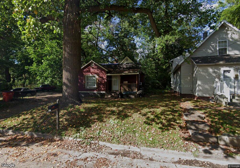
402 N Hull Ave Benton Harbor, MI 49022
Estimated Value: $68,000 - $145,000
2
Beds
1
Bath
763
Sq Ft
$124/Sq Ft
Est. Value
About This Home
This home is located at 402 N Hull Ave, Benton Harbor, MI 49022 and is currently estimated at $94,676, approximately $124 per square foot. 402 N Hull Ave is a home located in Berrien County with nearby schools including Fair Plain Middle School, Benton Harbor High School, and Benton Harbor Charter School Academy.
Ownership History
Date
Name
Owned For
Owner Type
Purchase Details
Closed on
Jul 15, 2008
Sold by
Witkowski Bret
Bought by
Burks Julie
Current Estimated Value
Purchase Details
Closed on
Feb 13, 2007
Sold by
Jdt Land Llc
Bought by
Samex Capital Partners Llc
Purchase Details
Closed on
Mar 8, 2004
Sold by
Chemical Bank Shoreline
Bought by
Jdt Land Llc
Purchase Details
Closed on
Apr 17, 2003
Sold by
Davis Fred
Bought by
Chemical Bank Shoreline and Shoreline Bank
Purchase Details
Closed on
Jul 1, 2002
Purchase Details
Closed on
Oct 15, 2001
Purchase Details
Closed on
Nov 17, 1999
Purchase Details
Closed on
May 1, 1975
Create a Home Valuation Report for This Property
The Home Valuation Report is an in-depth analysis detailing your home's value as well as a comparison with similar homes in the area
Home Values in the Area
Average Home Value in this Area
Purchase History
| Date | Buyer | Sale Price | Title Company |
|---|---|---|---|
| Burks Julie | $1,964 | None Available | |
| Samex Capital Partners Llc | -- | None Available | |
| Jdt Land Llc | $12,186 | -- | |
| Chemical Bank Shoreline | $20,000 | -- | |
| -- | -- | -- | |
| -- | -- | -- | |
| -- | -- | -- | |
| -- | $1,200 | -- |
Source: Public Records
Tax History Compared to Growth
Tax History
| Year | Tax Paid | Tax Assessment Tax Assessment Total Assessment is a certain percentage of the fair market value that is determined by local assessors to be the total taxable value of land and additions on the property. | Land | Improvement |
|---|---|---|---|---|
| 2025 | $460 | $20,500 | $0 | $0 |
| 2024 | $443 | $17,700 | $0 | $0 |
| 2023 | $354 | $11,700 | $0 | $0 |
| 2022 | $402 | $8,500 | $0 | $0 |
| 2021 | $1,538 | $8,400 | $700 | $7,700 |
| 2020 | $399 | $8,400 | $0 | $0 |
| 2019 | $392 | $7,300 | $0 | $0 |
| 2018 | $383 | $7,900 | $0 | $0 |
| 2017 | $375 | $6,000 | $0 | $0 |
| 2016 | $369 | $6,100 | $0 | $0 |
| 2015 | $368 | $5,900 | $0 | $0 |
| 2014 | $402 | $7,200 | $0 | $0 |
Source: Public Records
Map
Nearby Homes
- 470 N Mccord St
- 530 Rembert Ct
- 696 Highland Ave
- 6525 Territorial Rd
- 255 High St
- 309 High St
- 710 Buss Ave
- 238 Pine St
- 137 Cornelia St
- 992 Highland Ave
- 391 Pipestone St
- 1069 E Main St
- 378 Pipestone St
- 937 Hall St
- 293 Morning Walk Path
- 234 Walnut St
- 419 Packard St
- VL Eighth Ninth Boughton St
- 416 E Britain Ave
- 1226 Chicago Ave
- 412 N Hull Ave
- 380 N Hull Ave
- 405 Morton Ave
- 395 Morton Ave
- 370 N Hull Ave
- 397 N Hull Ave
- 381 N Hull Ave
- 360 N Hull Ave
- 377 Morton Ave
- 363 N Hull Ave
- 484 Frank St
- 355 Morton Ave
- 380 N Stevens St
- 525 Edwards Ave
- 533 Edwards Ave
- 364 N Stevens St
- 539 Edwards Ave
- 0 N Hull Ave
- 547 Edwards Ave
- 555 Edwards Ave