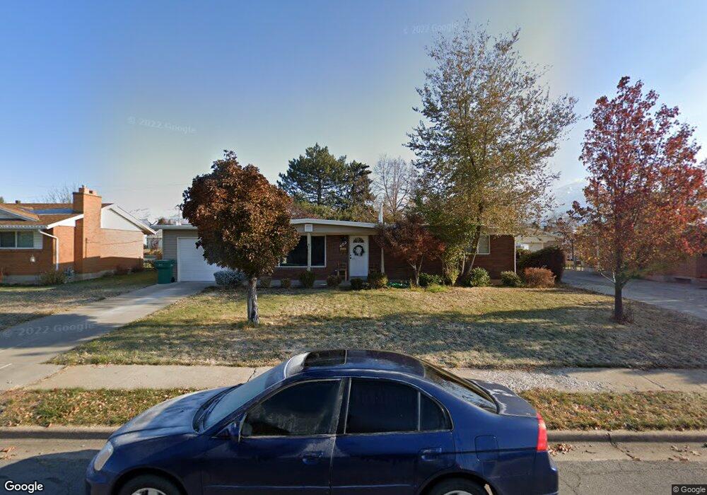
402 Owens St Layton, UT 84041
Estimated Value: $375,083 - $422,000
3
Beds
2
Baths
1,166
Sq Ft
$344/Sq Ft
Est. Value
About This Home
This home is located at 402 Owens St, Layton, UT 84041 and is currently estimated at $401,271, approximately $344 per square foot. 402 Owens St is a home located in Davis County with nearby schools including Crestview Elementary School, Central Davis Junior High School, and Layton High School.
Ownership History
Date
Name
Owned For
Owner Type
Purchase Details
Closed on
Aug 31, 2017
Sold by
Sanders Larry O
Bought by
Sanders Larry Orson
Current Estimated Value
Purchase Details
Closed on
Dec 9, 2005
Sold by
Lee Michael Dean
Bought by
Sanders Larry O
Home Financials for this Owner
Home Financials are based on the most recent Mortgage that was taken out on this home.
Original Mortgage
$80,000
Interest Rate
2%
Mortgage Type
Fannie Mae Freddie Mac
Create a Home Valuation Report for This Property
The Home Valuation Report is an in-depth analysis detailing your home's value as well as a comparison with similar homes in the area
Home Values in the Area
Average Home Value in this Area
Purchase History
| Date | Buyer | Sale Price | Title Company |
|---|---|---|---|
| Sanders Larry Orson | -- | -- | |
| Sanders Larry O | -- | First American Title |
Source: Public Records
Mortgage History
| Date | Status | Borrower | Loan Amount |
|---|---|---|---|
| Previous Owner | Sanders Larry O | $80,000 |
Source: Public Records
Tax History Compared to Growth
Tax History
| Year | Tax Paid | Tax Assessment Tax Assessment Total Assessment is a certain percentage of the fair market value that is determined by local assessors to be the total taxable value of land and additions on the property. | Land | Improvement |
|---|---|---|---|---|
| 2025 | $1,766 | $185,350 | $104,249 | $81,101 |
| 2024 | $1,711 | $180,949 | $121,334 | $59,615 |
| 2023 | $1,572 | $161,150 | $78,648 | $82,501 |
| 2022 | $1,549 | $285,000 | $138,142 | $146,858 |
| 2021 | $1,471 | $222,000 | $107,569 | $114,431 |
| 2020 | $1,326 | $192,000 | $90,093 | $101,907 |
| 2019 | $1,311 | $186,000 | $85,188 | $100,812 |
| 2018 | $1,166 | $166,000 | $85,188 | $80,812 |
| 2016 | $995 | $73,095 | $27,807 | $45,288 |
| 2015 | $942 | $65,670 | $27,807 | $37,863 |
| 2014 | $837 | $59,656 | $27,807 | $31,849 |
| 2013 | -- | $64,875 | $18,612 | $46,263 |
Source: Public Records
Map
Nearby Homes
- 480 Spurlock St
- 495 Spurlock St
- 441 Church St
- 6 Grover St
- 142 Green Dr
- 356 W 25 N
- 355 W Gentile St
- 485 W 100 N
- 526 King St Unit 2
- 157 N Fort Ln Unit A
- 174 W Dawson St
- 785 Sherwood Dr
- 937 Rainbow Dr
- 267 S Melody St
- 1180 N 100 E
- 750 W Gentile St
- 794 Valeria Dr
- 654 Colonial St
- 806 Valeria Dr
- 60 S Whitesides St