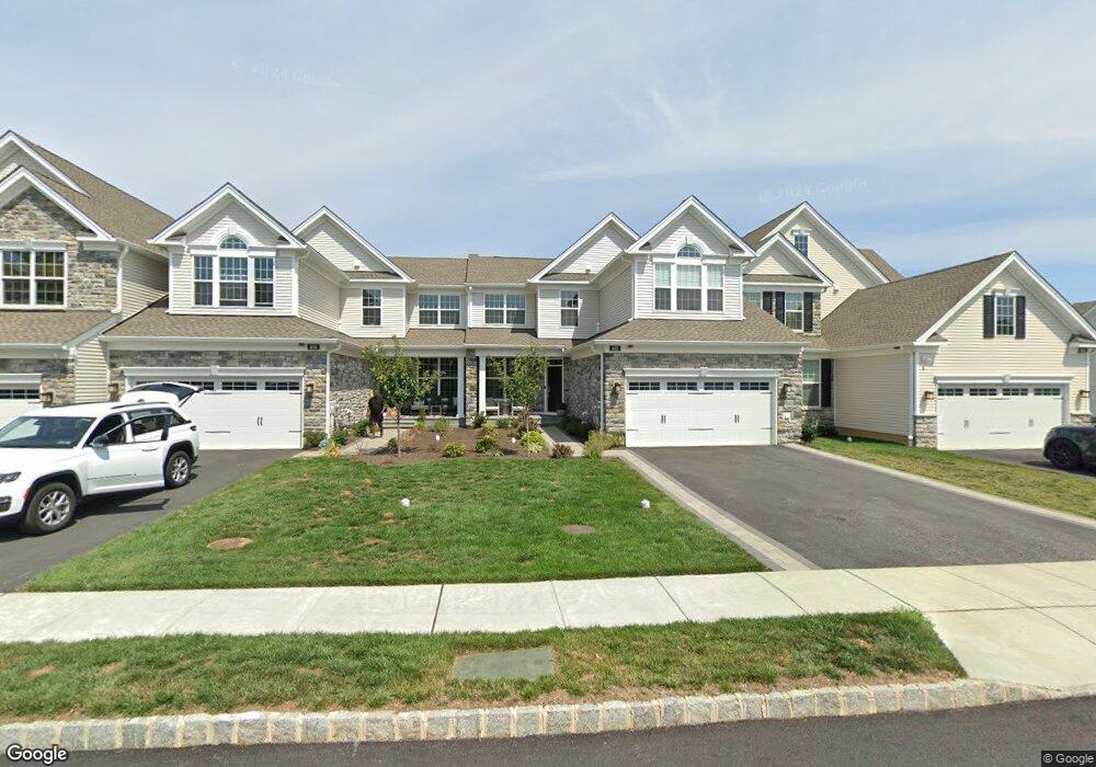
402 Reid Way West Chester, PA 19382
Estimated Value: $914,000 - $1,088,502
3
Beds
3
Baths
2,477
Sq Ft
$395/Sq Ft
Est. Value
About This Home
This home is located at 402 Reid Way, West Chester, PA 19382 and is currently estimated at $977,376, approximately $394 per square foot. 402 Reid Way is a home located in Chester County with nearby schools including Sarah W Starkweather Elementary School, Stetson Middle School, and Bayard Rustin High School.
Ownership History
Date
Name
Owned For
Owner Type
Purchase Details
Closed on
Feb 14, 2023
Sold by
Toll Pa Vi Lp
Bought by
Castelli Bruce Victor and Nufrio Susan
Current Estimated Value
Create a Home Valuation Report for This Property
The Home Valuation Report is an in-depth analysis detailing your home's value as well as a comparison with similar homes in the area
Home Values in the Area
Average Home Value in this Area
Purchase History
| Date | Buyer | Sale Price | Title Company |
|---|---|---|---|
| Castelli Bruce Victor | $1,163,857 | -- |
Source: Public Records
Tax History Compared to Growth
Tax History
| Year | Tax Paid | Tax Assessment Tax Assessment Total Assessment is a certain percentage of the fair market value that is determined by local assessors to be the total taxable value of land and additions on the property. | Land | Improvement |
|---|---|---|---|---|
| 2025 | $9,738 | $335,940 | $61,250 | $274,690 |
| 2024 | $9,738 | $335,940 | $61,250 | $274,690 |
| 2023 | $702 | $24,430 | $24,430 | $0 |
| 2022 | $693 | $24,430 | $24,430 | $0 |
| 2021 | $677 | $24,430 | $24,430 | $0 |
Source: Public Records
Map
Nearby Homes
- 850 Amber Ln
- Lot 10 Carolannes Way
- 741 Shropshire Dr
- 410 Allegiance Dr
- 1033 Lenape Rd
- 414 Birmingham Rd
- 1016 Dunvegan Rd
- 602 John Anthony Dr
- 724 W Nields St
- 1202 Turks Head Ln
- 1052 Cedar Mill Ln
- 7 Garden Cir
- 203 Barn Hill Rd
- 1119 S New St
- 1121 S New St
- 1123 S New St
- 1107 Mews Ln Unit 7
- 248 Yorkminster Rd Unit 1303D
- 164 Mansion House Dr Unit 401A
- 120 Gilpin Dr