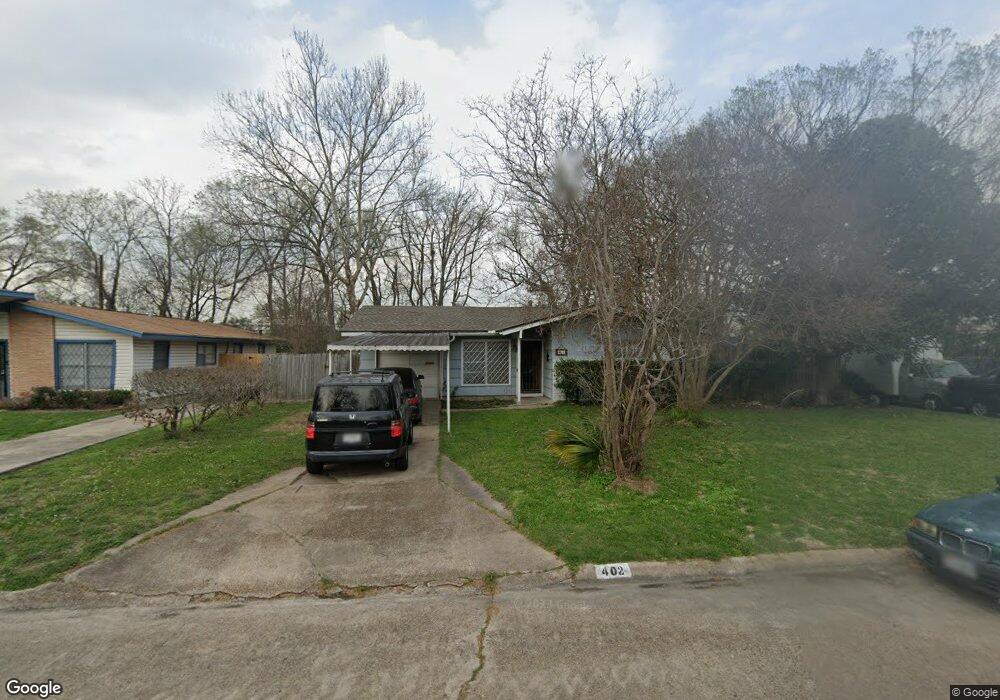
402 Surratt Dr Houston, TX 77091
Northside-Northline NeighborhoodEstimated Value: $171,062 - $245,000
2
Beds
1
Bath
1,025
Sq Ft
$204/Sq Ft
Est. Value
About This Home
This home is located at 402 Surratt Dr, Houston, TX 77091 and is currently estimated at $209,266, approximately $204 per square foot. 402 Surratt Dr is a home located in Harris County with nearby schools including Wesley Elementary School, Williams Middle, and Booker T Washington Sr High.
Ownership History
Date
Name
Owned For
Owner Type
Purchase Details
Closed on
Jun 25, 2022
Sold by
Peyrani Juana M
Bought by
Villegas Elva L
Current Estimated Value
Purchase Details
Closed on
Feb 17, 1998
Sold by
Minor Vera J
Bought by
Peyrani Juana M
Home Financials for this Owner
Home Financials are based on the most recent Mortgage that was taken out on this home.
Original Mortgage
$46,000
Interest Rate
6.92%
Create a Home Valuation Report for This Property
The Home Valuation Report is an in-depth analysis detailing your home's value as well as a comparison with similar homes in the area
Home Values in the Area
Average Home Value in this Area
Purchase History
| Date | Buyer | Sale Price | Title Company |
|---|---|---|---|
| Villegas Elva L | -- | None Listed On Document | |
| Peyrani Juana M | -- | -- |
Source: Public Records
Mortgage History
| Date | Status | Borrower | Loan Amount |
|---|---|---|---|
| Previous Owner | Peyrani Juana M | $46,000 |
Source: Public Records
Tax History Compared to Growth
Tax History
| Year | Tax Paid | Tax Assessment Tax Assessment Total Assessment is a certain percentage of the fair market value that is determined by local assessors to be the total taxable value of land and additions on the property. | Land | Improvement |
|---|---|---|---|---|
| 2025 | $3,819 | $182,514 | $70,967 | $111,547 |
| 2024 | $3,819 | $182,514 | $70,967 | $111,547 |
| 2023 | $3,819 | $171,173 | $70,967 | $100,206 |
| 2022 | $2,784 | $126,454 | $49,677 | $76,777 |
| 2021 | $2,877 | $123,439 | $49,677 | $73,762 |
| 2020 | $2,796 | $115,469 | $49,677 | $65,792 |
| 2019 | $2,646 | $104,552 | $35,484 | $69,068 |
| 2018 | $1,835 | $72,524 | $10,645 | $61,879 |
| 2017 | $1,834 | $72,524 | $10,645 | $61,879 |
| 2016 | $1,834 | $72,524 | $10,645 | $61,879 |
| 2015 | $1,220 | $67,677 | $10,645 | $57,032 |
| 2014 | $1,220 | $67,677 | $10,645 | $57,032 |
Source: Public Records
Map
Nearby Homes
- 427 Yale Oaks Ln
- 434 Yale Oaks Ln
- 422 Yale Oaks Ln
- 406 Red Ripple Rd
- 410 Yale Oaks Ln
- 422 Surratt Dr
- 6057 Yale St
- 334 Yale Oaks Ln
- 327 Yale Oaks Ln
- 6100 Stuebner Airline Rd
- 522 Surratt Dr
- 615 Northew St Unit J
- 615 Northew St Unit K
- 201 W Rosamond St Unit 41
- 201 W Rosamond St Unit 53
- 201 W Rosamond St Unit 61
- 0 Pickering St
- 304 W Hamilton Lot B St
- 304 W St
- 304 W St E
- 406 Surratt Dr
- 410 Surratt Dr
- 354 Surratt Dr
- 6013 Yale Garden Ln
- 363 Surratt Dr
- 6015 Yale Garden Ln
- 403 Surratt Dr
- 359 Surratt Dr
- 414 Surratt Dr
- 350 Surratt Dr
- 407 Surratt Dr
- 6017 Yale Garden Ln
- 355 Surratt Dr
- 431 Yale Oaks Ln
- 411 Surratt Dr
- 6019 Yale Garden Ln
- 418 Surratt Dr
- 346 Surratt Dr
- 351 Surratt Dr
- 362 Red Ripple Rd