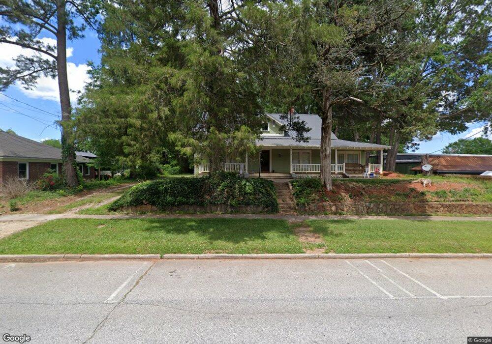
402 W Main St Walhalla, SC 29691
Estimated Value: $213,000 - $281,000
2
Beds
2
Baths
2,163
Sq Ft
$112/Sq Ft
Est. Value
About This Home
This home is located at 402 W Main St, Walhalla, SC 29691 and is currently estimated at $242,207, approximately $111 per square foot. 402 W Main St is a home located in Oconee County with nearby schools including James M. Brown Elementary School, Walhalla Middle School, and Walhalla High School.
Ownership History
Date
Name
Owned For
Owner Type
Purchase Details
Closed on
Sep 7, 2023
Sold by
Head Samuel R
Bought by
402 W Main St Walhalla Llc
Current Estimated Value
Purchase Details
Closed on
Jul 22, 2022
Sold by
Holliday Joshua L
Bought by
Head Samuel R
Purchase Details
Closed on
Apr 5, 2010
Sold by
Skinner Larry E and Skinner Sharon K
Bought by
Holliday Joshua L and Holliday Sally G
Home Financials for this Owner
Home Financials are based on the most recent Mortgage that was taken out on this home.
Original Mortgage
$182,500
Interest Rate
6.45%
Mortgage Type
Adjustable Rate Mortgage/ARM
Create a Home Valuation Report for This Property
The Home Valuation Report is an in-depth analysis detailing your home's value as well as a comparison with similar homes in the area
Home Values in the Area
Average Home Value in this Area
Purchase History
| Date | Buyer | Sale Price | Title Company |
|---|---|---|---|
| 402 W Main St Walhalla Llc | -- | None Listed On Document | |
| Head Samuel R | $205,000 | None Listed On Document | |
| Holliday Joshua L | $141,000 | -- |
Source: Public Records
Mortgage History
| Date | Status | Borrower | Loan Amount |
|---|---|---|---|
| Previous Owner | Holliday Joshua L | $182,500 |
Source: Public Records
Tax History
| Year | Tax Paid | Tax Assessment Tax Assessment Total Assessment is a certain percentage of the fair market value that is determined by local assessors to be the total taxable value of land and additions on the property. | Land | Improvement |
|---|---|---|---|---|
| 2025 | $3,597 | $7,912 | $288 | $7,624 |
| 2024 | $3,573 | $7,912 | $288 | $7,624 |
| 2023 | $3,514 | $7,912 | $288 | $7,624 |
| 2022 | $645 | $3,437 | $446 | $2,991 |
| 2021 | $354 | $3,274 | $446 | $2,828 |
| 2020 | $354 | $3,274 | $446 | $2,828 |
| 2019 | $354 | $0 | $0 | $0 |
| 2018 | $716 | $0 | $0 | $0 |
| 2017 | $941 | $0 | $0 | $0 |
| 2016 | $941 | $0 | $0 | $0 |
| 2015 | -- | $0 | $0 | $0 |
| 2014 | -- | $5,060 | $640 | $4,420 |
| 2013 | -- | $0 | $0 | $0 |
Source: Public Records
Map
Nearby Homes
- 606 W South Broad St
- 804 W North Broad St
- 107 S Laurel St
- 109 S Laurel St
- 318 S Pine St
- 00 N Church St
- 384 E Woodland Dr
- 320 Jaynes St
- 00 Abbott Ln
- 2423 Westminster Hwy
- 00 Keowee St
- 223 N Dogwood Dr
- 606 N Poplar St
- 807 W Main St
- 326 Kenneth St
- 101 Hazelwood Way
- 209 Moore Ave
- 147 White Oak St
- 00 Fox Run Rd
- 323 Fox Run Rd
- 404 W Main St
- 400 W Main St
- 512 Alrad Dr
- 102 N Pine St
- 316 W Main St
- 401 W Main St
- 104 N Pine St
- 403 W Main St
- 103 N Pine St
- 500 W Main St
- 501 W Main St
- 507 W Main St
- 105 N Pine St
- 102 S Pine St Unit and 102-104 Chestnut
- 502 W Main St
- 105 S Pine St
- 509 W Main St
- 108 S Oak St
- 508 W Main St
- 104 S Pine St
Your Personal Tour Guide
Ask me questions while you tour the home.